Cyclists.com

National Cycle Route 775

Kinross, Perth and Kinross, United KingdomRoad

Signed route The waymarked National Cycle Route 775 (Walk Wheel Cycle Trust), traced from OpenStreetMap and measured against the terrain model; no member has recorded it yet. Ridden it? Add your recording and photos.

26 km
Distance
168 m
Elevation gain
Easy
Difficulty
Paved
Surface
Download GPXMap

Elevation profile

Total ascent
168 m
Distance
26 km
050100150200m0 km102026 km190 m · highest, at 12.4 kmStartFinish

Route overview

Suitable for cyclists looking for a moderate 26 km ride with steady climbs.

National Cycle Route 775 runs 26 km from Kinross to Perth with 168 m climbing in Perth and Kinross.

Starting near Kinross, the route passes through Milnathort, Hattonburn, Netherton, then encounters the first climb beginning at 5.1 km, gaining 40 m over 1.7 km with a maximum gradient of 3%. The road surface is 98% paved with no gravel sections. The ride follows mostly minor roads (53%) and includes 4.8 km on main roads without cycle lanes, notably 4 km on the A912. Cycle paths and lanes cover 3.4 km overall. After reaching Glenfarg at 10.2 km, the route tackles a second climb of 48 m over 1.2 km with an average 3.9% gradient up to 189 m at 12.4 km. A long descent of 2.9 km begins at 13.9 km, dropping 152 m. Between 10.2 km and 19 km is the longest stretch without cafés, shops, or water lasting 8.8 km. The route then passes Kintillo, Oudenarde, and Bridge of Earn. The final climb starts at 21.6 km, rising 48 m over 1.3 km at up to 5% gradient before descending to Perth at 26.2 km. Facilities for food and drink include cafés near the start in Kinross and a bakery and café near Bridge of Earn and Friarton respectively. Convenience stores are found early and late on the route. Toilets are available at Kinross and near the finish in Perth. A bike shop is located at 23.4 km off route. Bailout points include a ferry near the start and a railway station in Perth.

Highlights

  • Climb to 189 m near Glenfarg
  • Descent of 2.9 km dropping 152 m from 13.9 km
  • Passes Glenfarg and Bridge of Earn
  • Ends in Perth with cafés and bike shop nearby

Along the route

Measured from the recorded track and OpenStreetMap.

Places passed

  1. Milnathort 3.3 km
  2. Hattonburn 4.6 km
  3. Netherton 5.2 km
  4. Drunzie 8 km
  5. Duncrievie 9 km
  6. Glenfarg 10.2 km
  7. Kintillo 18.9 km
  8. Oudenarde 19.3 km
  9. Bridge of Earn 19.8 km
  10. Craigend 22.4 km
  11. Friarton 24 km

Climbs

ClimbStarts atLengthGainAverageMaxTop
5.1 km1.7 km40 m2.4 %3 %171 m
11.2 km1.2 km48 m3.9 %4.5 %189 m
21.6 km1.3 km48 m3.6 %5 %60 m

High point 189 m at 12.4 km; low point 5 m. Passes beneath Balmanno Hill, Friarton Hill, St Magdalene's Hill.

What this ride is like

Measured from OpenStreetMap along the track and the elevation profile.

Roads
53% minor road · 18% main road · 12% road with cycle lane · 11% quiet street
Main roads
4.8 km on main roads without a cycle lane — likely busier
Fast roads
2.8 km on roads with a limit of 80 km/h or more
Cycle paths
3.4 km on cycle paths or roads with a cycle lane
Main roads used
A912 (4 km)
Surface
Paved throughout
Gradient
18% climbing · 27% descending · 55% flat
Longest descent
2.9 km from 13.9 km, dropping 152 m

Along the way

Within a few hundred metres of the track, from OpenStreetMap. Opening hours change — treat this as where to look, not a promise.

Food, water and shops

  1. 0.4 kmKinross Pharmacy · pharmacy · on the route
  2. 0.5 kmUnorthodox Roasters · café · on the route
  3. 0.6 kmKinross Church Centre Public Toilet · toilets · on the route
  4. 0.7 kmGreens of Kinross · convenience store · on the route
  5. 3.3 kmThames · petrol station · 80 m off route
  6. 10.2 kmGlenfarg Village Store · convenience store · on the route
  7. 19.8 kmTower Bakery · bakery · on the route
  8. 19.9 kmDavidsons Chemists · pharmacy · on the route
  9. 20 kmCo-op Food · convenience store · on the route
  10. 23.4 kmThe Bike Station · bike shop · 290 m off route
  11. 24.5 kmShell Strathtay Service Station · petrol station · 90 m off route
  12. 24.6 kmTesco Café · café · 150 m off route
  13. 25.4 kmThe Corner Shop · convenience store · 250 m off route
  14. 25.9 kmTop Up Tap · drinking water · 250 m off route
  15. 26.2 kmToilets · 120 m off route

Need to bail out?

  • 0.3 kmFerry, 400 m off route
  • 25.6 kmPerth (station), 380 m off route

Whether bikes are carried depends on the service — check before relying on it.

Worth a stop

  • 0.3 kmMarket Cross (monument)
  • 3.3 kmMilnathort (archaeological site)
  • 22.2 kmHilton (archaeological site)
  • 26.2 kmThe Fergusson Gallery (attraction)

At the start

  • Cashmere at Lochleven Coffee Shop · café · 70 m
  • Unorthodox Roasters · café · 470 m
  • Bayne's · bakery · 580 m
  • The Raj Mahal · restaurant · 370 m
  • Benarty Fruits · greengrocer · 400 m

At the finish

  • The Weigh In · fast food · 100 m
  • Meze Turkish Restaurant · restaurant · 120 m
  • Cullach Brewery and Taproom · pub · 160 m
  • Highlander Sports Bar & Restaurant · pub · 180 m
  • Thistle & Vine · café · 310 m

Stay after this ride

  • Salutation Hotel · hotel · 360 m from the finish
  • Parklands · hotel · 490 m from the finish
  • Queens Hotel · hotel · 560 m from the finish
  • Radisson Blu Hotel · hotel · 640 m from the finish
  • Travelodge · hotel · 570 m from the finish

Practical information

Surface
Paved
Route shape
Point to point
Riding time
1 h 52 min
Best months
Jun to Aug — daily highs of 16–18 °C in those months

Know before you go

  • 8.8 km longest stretch without café, shop or water from 10.2 km to 19 km
  • 4.8 km on main roads without cycle lane
  • 2.8 km on roads with speed limits 80 km/h or more

Routes are for inspiration. Roads, surfaces and conditions change — check locally and ride within your limits.

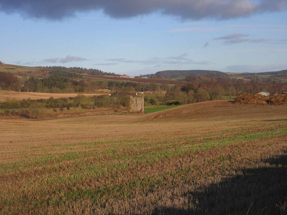
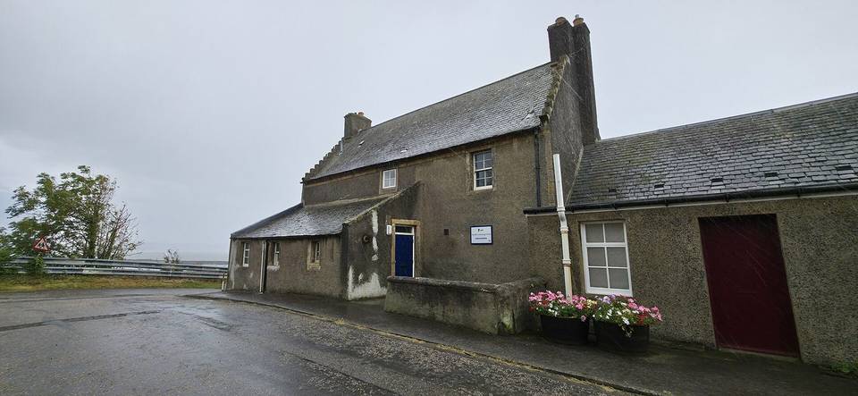
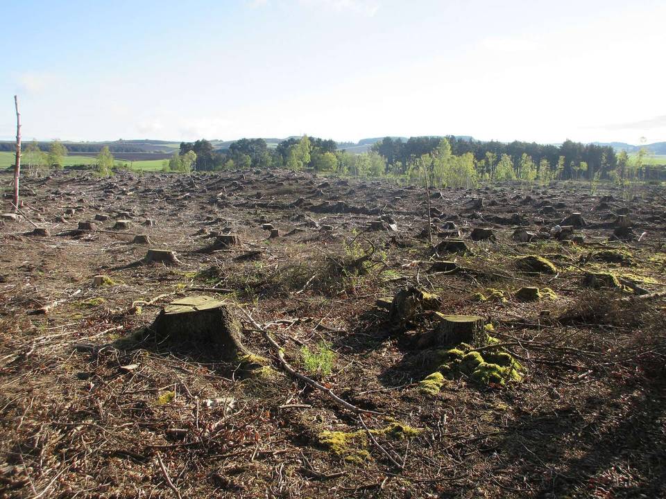
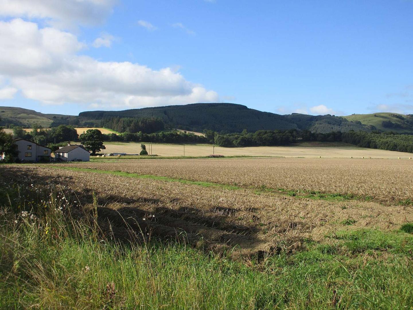
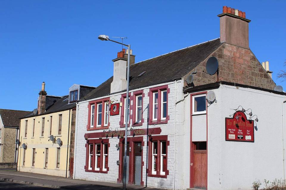
2 photographs from the road

Photo: Scott Cormie · CC BY-SA 2.0 · Wikimedia Commons · Photo: Lewis Clarke · CC BY-SA 2.0 · Wikimedia Commons · Photo: Leslie Barrie · CC BY-SA 2.0 · Wikimedia Commons