Cyclists.com

Trywydd Copr

Llannerch-y-Medd, Isle of Anglesey, United KingdomRoad

Signed route The waymarked Trywydd Copr (local route), traced from OpenStreetMap and measured against the terrain model; no member has recorded it yet. Ridden it? Add your recording and photos.

45 km
Distance
251 m
Elevation gain
Moderate
Difficulty
Paved
Surface
Download GPXMap

Elevation profile

Total ascent
251 m
Distance
45 km
0255075100125m0 km1020304045 km116 m · highest, at 37.6 kmStartFinish

Route overview

Suitable for riders seeking a moderate 44.6 km route with 251 m of climbing on mostly paved minor roads.

Trywydd Copr is a 44.6 km point-to-point route from Llannerch-y-Medd on the Isle of Anglesey with 251 m elevation gain.

The route starts in Llannerch-y-Medd and passes through Parc, Pengraigwen, Gadfa, Penysarn, Nebo, Pengorffwysfa, Cae Ficer Est, Llaneilian, and Amlwch Port before reaching Amlwch at 14.6 km. From there it continues through Pentrefelin, Burwen, Rhosbeirio, Llanfechell, Tregele, Llanrhwydrys, and Llanfair yng Nghornwy, finishing near Llanrhyddlad at 39.9 km. The climb begins at 34.3 km, rising steadily over 2.7 km with 82 m gained at an average gradient of 3.1%, reaching a top height of 115 m around 37 km. The route profile is mostly flat (69%) with some climbing (16%) and descending (15%). The longest descent is 1.2 km starting from 41.6 km. Surface is predominantly paved (98%), with 84% on minor roads, 8% on main roads without cycle lanes, 5% on quiet streets, and the rest on a short path. A 9.5 km stretch from 14.7 km to 24.2 km has no café, shop or water available. Facilities near the route include cafés, pubs and shops at the start and points like Penysarn, Amlwch and Llanfechell, plus two petrol stations. Water springs are at 2.9 km and 34.7 km.

Highlights

  • Climb near km 34-37, highest point 115 m
  • Passes Mynydd Eilian (177 m) near 10 km
  • Passes Mynydd y Garn (170 m) near 33 km
  • Longest descent 1.2 km from 41.6 km

Along the route

Measured from the recorded track and OpenStreetMap.

Places passed

  1. Parc 4.6 km
  2. Pengraigwen 5.3 km
  3. Gadfa 7 km
  4. Penysarn 8.3 km
  5. Nebo 8.7 km
  6. Pengorffwysfa 10.2 km
  7. Cae Ficer Est 10.8 km
  8. Llaneilian 11.5 km
  9. Amlwch Port 13.4 km
  10. Amlwch 14.6 km
  11. Pentrefelin 15.1 km
  12. Burwen 17.1 km
  13. Rhosbeirio 21.2 km
  14. Llanfechell 24.2 km
  15. Tregele 26.3 km
  16. Llanrhwydrys 29.9 km
  17. Llanfair yng Nghornwy 32.6 km
  18. Llanrhyddlad 39.9 km

Climbs

ClimbStarts atLengthGainAverageMaxTop
34.3 km2.7 km82 m3.1 %5 %115 m

High point 115 m at 37 km; low point 7 m. Passes beneath Mynydd Eilian, Mynydd y Garn.

What this ride is like

Measured from OpenStreetMap along the track and the elevation profile.

Roads
84% minor road · 8% main road · 5% quiet street · 1% path
Main roads
3.6 km on main roads without a cycle lane — likely busier
Surface
Paved throughout
Gradient
16% climbing · 15% descending · 69% flat

Along the way

Within a few hundred metres of the track, from OpenStreetMap. Opening hours change — treat this as where to look, not a promise.

Food, water and shops

  1. 0 kmStation Cafe · café · 140 m off route
  2. 2.9 kmSpring · 160 m off route
  3. 8.1 kmY Bedol · pub · on the route
  4. 8.5 kmPenysarn Stores · convenience store · on the route
  5. 13.7 kmToilets · 70 m off route
  6. 13.8 kmSkye's · café · on the route
  7. 14.5 kmCo-op Food · supermarket · 210 m off route
  8. 14.5 kmRowlands Pharmacy · pharmacy · 50 m off route
  9. 14.6 kmGulf · petrol station · 50 m off route
  10. 24.2 kmCaffi Siop Mechell · café · on the route
  11. 24.2 kmSiop Isfryn Em's Store · convenience store · 60 m off route
  12. 26.3 kmTregele Service Station & Post Office · petrol station · 110 m off route
  13. 34.7 kmSpring · 240 m off route

Worth a stop

  • 18 kmStanding Stone (archaeological site)
  • 24.8 kmStone Circle (ruins)

At the start

  • Station Cafe · café · 140 m
  • Twr Cuhelyn Arms · pub · 100 m
  • The Bull Inn · pub · 150 m

Practical information

Surface
Paved
Route shape
Point to point
Riding time
3 h 11 min
Best months
Jun to Sep — daily highs of 16–18 °C in those months

Know before you go

  • 9.5 km with no café, shop or water from 14.7 km to 24.2 km
  • 3.6 km on main roads without a cycle lane

Routes are for inspiration. Roads, surfaces and conditions change — check locally and ride within your limits.

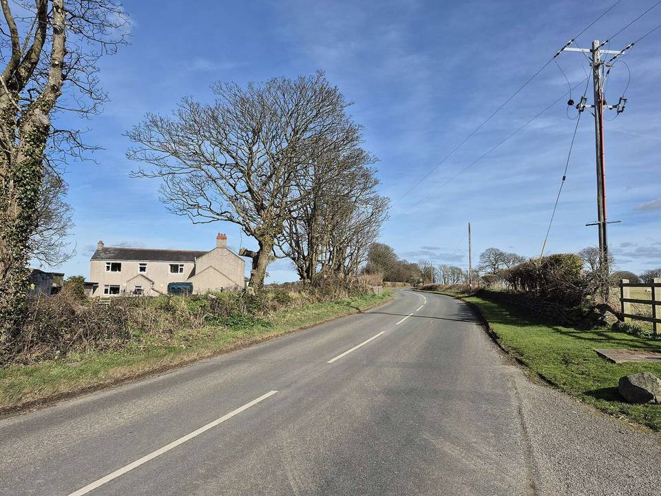
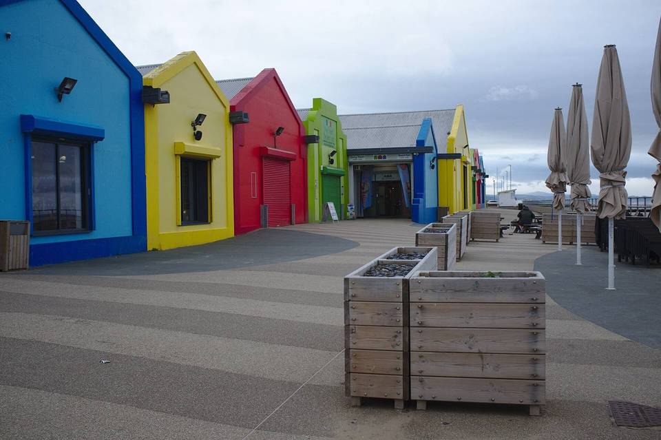
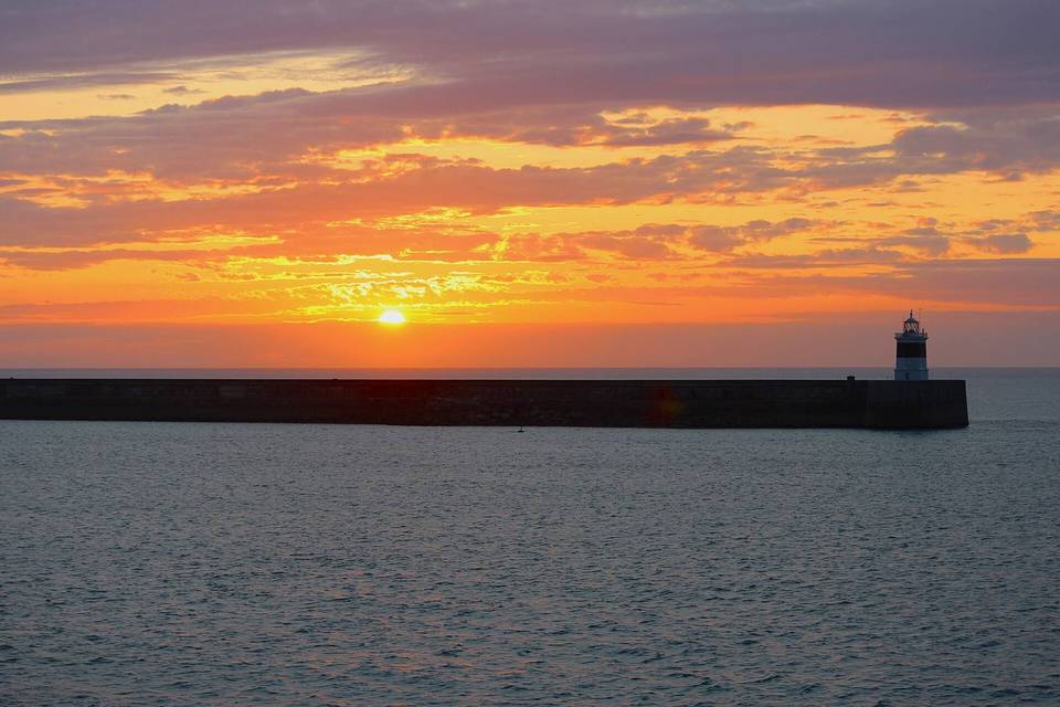
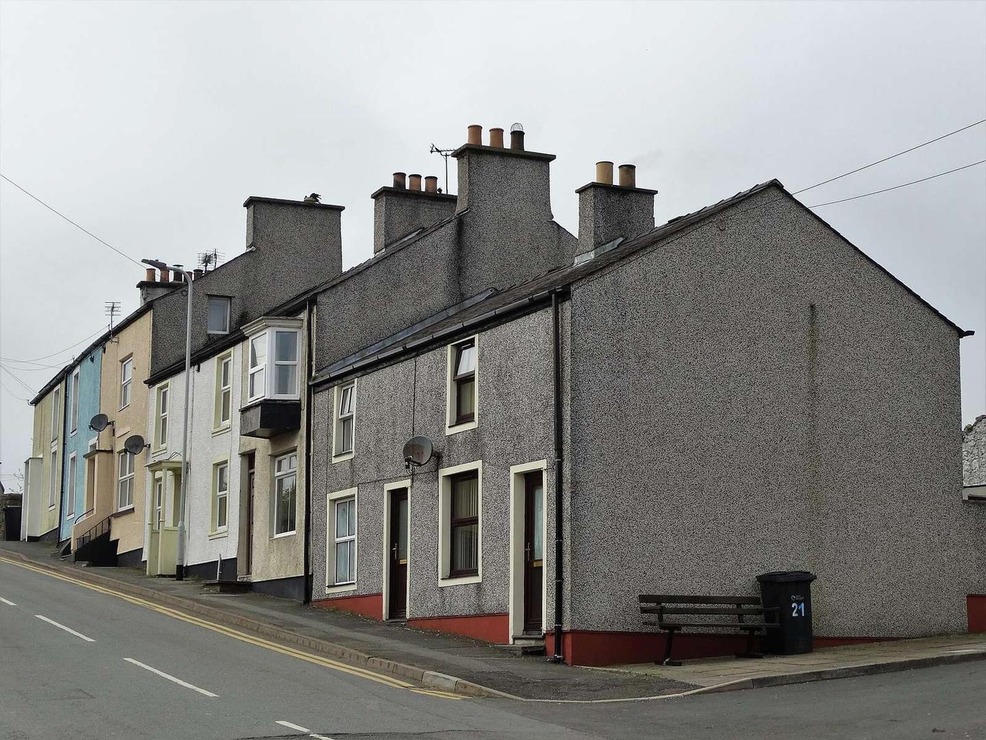
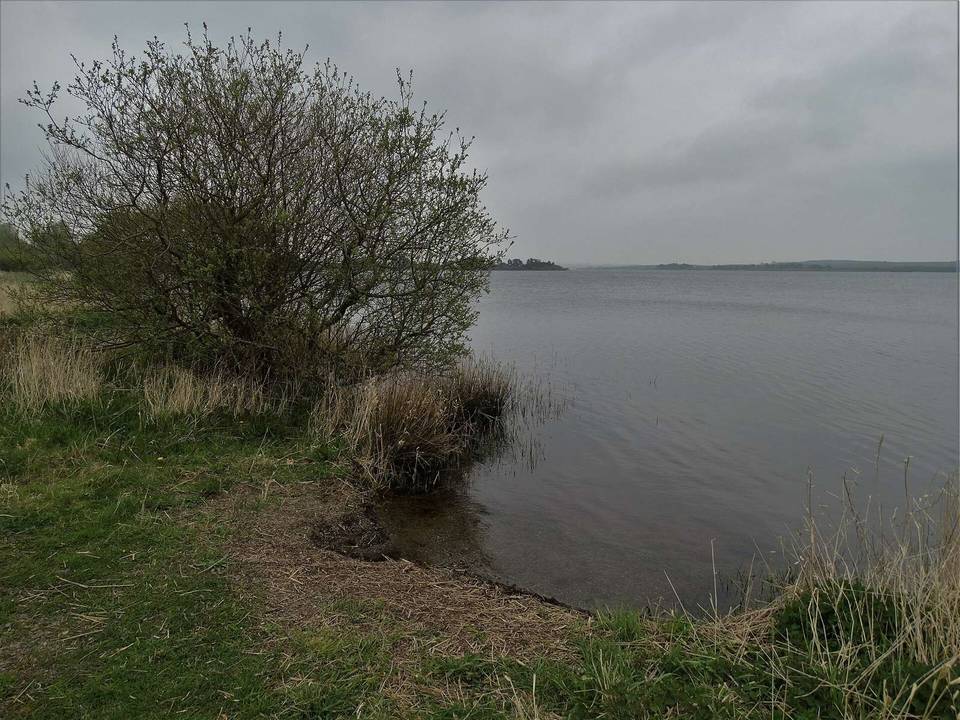
2 photographs from the road

Photo: Neil Theasby · CC BY-SA 2.0 · Wikimedia Commons · Photo: Peter Wood · CC BY-SA 2.0 · Wikimedia Commons