
Cyclists.com

EuroVelo 2 (Wales section)

Holyhead, Isle of Anglesey, United KingdomRoad

Signed route The waymarked EuroVelo 2 (Wales section) (EuroVelo EV2), traced from OpenStreetMap and measured against the terrain model; no member has recorded it yet. Ridden it? Add your recording and photos.

3 km
Distance
0 m
Elevation gain
Easy
Difficulty
Paved
Surface
Download GPXMap

Elevation profile

Total ascent
0 m
Distance
3 km
020m0 km123 km4 m · highest, at 1.3 kmStartFinish

Route overview

Suitable for riders looking for a very short, flat route on quiet streets near Holyhead.

EuroVelo 2 Wales section, 3.3 km flat point-to-point cycle route on Isle of Anglesey, starting from Holyhead.

This short 3.3 km section of EuroVelo 2 on the Isle of Anglesey runs from Holyhead to Porth-y-Felin. The route is completely flat, with elevation ranging between 0 m and 4 m. The highest point is at 1.3 km and the lowest at 1.8 km. The surface is partially paved (52%) and partially unmapped (48%). Over half the distance, approximately 1.8 km, is on quiet streets. The route starts near facilities such as cafés, ferry terminals, and supermarkets in Holyhead. Notably, the Port Shop R&F Travel Retail café is 0.2 km from the start, and there are toilets nearby at 0.5 km. After 0.8 km, there is a continuous 2.5 km stretch without cafés, shops, or water. Holyhead offers several points to refuel or bail out such as ferries and pubs near the route start. There are no bike shops or petrol stations along this short segment. A monument called the George IV Arch lies about 1.1 km from the start, slightly off route.

Highlights

  • Flat route on Isle of Anglesey
  • George IV Arch monument at 1.1 km
  • Starts in Holyhead with cafés and ferry access
  • Longest stretch without café or water is 2.5 km

What this ride is like

Measured from OpenStreetMap along the track and the elevation profile.

Roads
54% quiet street · 52% unmapped
Surface
52% paved · 0% gravel or unpaved · 48% unmapped
Gradient
0% climbing · 0% descending · 100% flat

Along the way

Within a few hundred metres of the track, from OpenStreetMap. Opening hours change — treat this as where to look, not a promise.

Food, water and shops

  1. 0.2 kmPort Shop R&F Travel Retail · café · 100 m off route
  2. 0.4 kmCo-op Food · supermarket · 110 m off route
  3. 0.4 kmRowlands Pharmacy · pharmacy · 90 m off route
  4. 0.5 kmToilets · 130 m off route

Need to bail out?

  • 0.2 kmIrish Ferries (ferry), 40 m off route

Whether bikes are carried depends on the service — check before relying on it.

Worth a stop

  • 1.1 kmGeorge IV Arch (monument)

At the start

  • Port Shop R&F Travel Retail · café · 230 m
  • Irish Ferries · ferry · 160 m
  • Stena Line · ferry · 160 m
  • Reubens Cafe and Coffee House · café · 370 m
  • The South Stack · pub · 350 m

Stay after this ride

  • The Beach Hut · hotel · 2.5 km from the finish
  • George Hotel · hotel · 2.8 km from the finish
  • The Dublin Packet · guest house · 3.2 km from the finish
  • Witchingham B&B · guest house · 2.7 km from the finish
  • The Orient · guest house · 3.0 km from the finish

Practical information

Surface
Paved
Route shape
Point to point
Riding time
14 min
Best months
Jun to Sep — daily highs of 17–18 °C in those months

Know before you go

  • Longest stretch without café or shop for 2.5 km from 0.8 km
  • 48% of route unmapped surface
  • 54% on quiet streets, remainder surface unknown

Routes are for inspiration. Roads, surfaces and conditions change — check locally and ride within your limits.

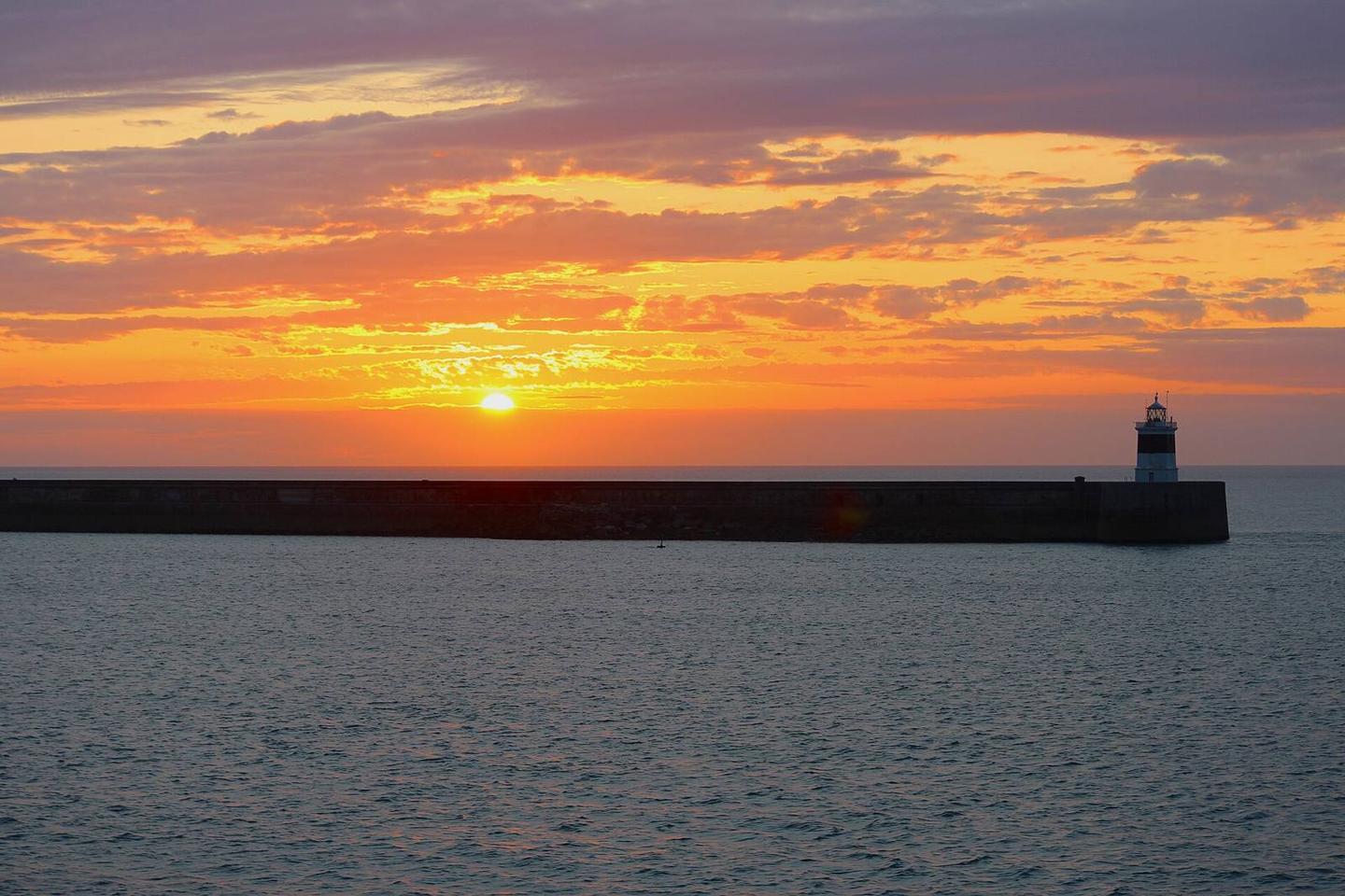
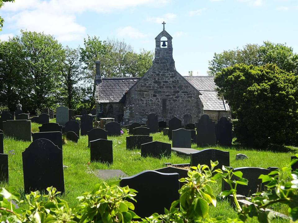
2 photographs from the road

Photo: Andrew Woodvine · CC BY-SA 2.0 · Wikimedia Commons · Photo: Robert Linsdell from St. Andrews, Canada · CC BY 2.0 · Wikimedia Commons · Photo: 瑞丽江的河水 · CC BY-SA 4.0 · Wikimedia Commons

More rides from Holyhead