
Cyclists.com

Holyhead to Caernarfon

Holyhead, Isle of Anglesey, United KingdomRoad

Signed route The waymarked EuroVelo 2 (EuroVelo EV2), traced from OpenStreetMap and measured against the terrain model; no member has recorded it yet. Stage 1 of 2 of the EuroVelo 2. Ridden it? Add your recording and photos.

62 km
Distance
352 m
Elevation gain
Moderate
Difficulty
Paved
Surface
Download GPXMap

Elevation profile

Total ascent
352 m
Distance
62 km
020406080m0 km204062 km69 m · highest, at 46.1 kmStartFinish

Route overview

Suitable for riders comfortable with moderate distance and 352 m of climbing.

Stage 1 of 2 of the EuroVelo 2: 61.8 km from Holyhead to Caernarfon with 352 m of climbing, on the signed route.

Starting in Holyhead, the 61.8 km route passes through Valley, Caergeiliog, and several villages including Llanfihangel yn Nhowyn, Engedi, Dothan, and Bethel. From km 12.5 to 25.4, there is the longest stretch without a café, shop, or water lasting 12.7 km. The route features mostly paved surfaces (97%) with minor gravel (2%) and includes a mix of minor roads (62%), cycle paths (20%), quiet streets (7%), and small sections of main roads and lanes.

Highlights

  • Climbs between km 30.3 and 31.7 gaining 42 m
  • Climb at km 47.2–48.6 gaining 43 m
  • Passing Menai Bridge at km 47.1
  • Near Twt Hill at 59.9 km

Along the route

Measured from the recorded track and OpenStreetMap.

Places passed

  1. Valley 5.7 km
  2. Caergeiliog 8.6 km
  3. Llanfihangel yn Nhowyn 12.5 km
  4. Engedi 17.5 km
  5. Dothan 19.8 km
  6. Bethel 25.4 km
  7. Trefdraeth 26.5 km
  8. Llangaffo 32 km
  9. Llanddaniel Fab 38.7 km
  10. Star 41.3 km
  11. Llanfairpwllgwyngyll 43.9 km
  12. Menai Bridge 47.1 km
  13. Bangor 47.9 km
  14. Penrhosgarnedd 49 km
  15. Tŷ'n-y-lôn 49.4 km
  16. Capel-y-graig 50.1 km
  17. Aber Pwll 52.1 km
  18. Y Felinheli 53 km
  19. Griffiths' Crossing 56.3 km

Climbs

ClimbStarts atLengthGainAverageMaxTop
30.3 km1.4 km42 m3 %5.9 %45 m
47.2 km1.4 km43 m3.1 %6 %63 m

High point 68 m at 45.1 km; low point 0 m. Passes beneath Twt Hill.

What this ride is like

Measured from OpenStreetMap along the track and the elevation profile.

Roads
62% minor road · 20% cycle path · 7% quiet street · 4% path
Main roads
2.5 km on main roads without a cycle lane — likely busier
Fast roads
10.7 km on roads with a limit of 80 km/h or more
Cycle paths
13.6 km on cycle paths or roads with a cycle lane
Surface
Paved throughout
Gradient
12% climbing · 13% descending · 75% flat
Steep sections
0.6 km over 5%

Along the way

Within a few hundred metres of the track, from OpenStreetMap. Opening hours change — treat this as where to look, not a promise.

Food, water and shops

  1. 0.1 kmLidl · supermarket · 50 m off route
  2. 1.1 kmTesco · petrol station · 150 m off route
  3. 1.2 kmYsbyty Penrhos · hospital · 130 m off route
  4. 3.9 kmCoffee Cups · café · on the route
  5. 11.3 kmHawkings Bar · bar · 350 m off route
  6. 11.4 kmMedical Centre · clinic · 90 m off route
  7. 38.8 kmSiop yr Efail · convenience store · 30 m off route
  8. 47 kmShell · petrol station · on the route
  9. 47 kmRowlands Pharmacy · pharmacy · 350 m off route
  10. 47.2 kmWaitrose · supermarket · 50 m off route
  11. 47.3 kmBridge Inn · pub · 80 m off route
  12. 52.9 kmThe Swellies · café · 40 m off route
  13. 53.4 kmToilets · on the route
  14. 59.4 kmMorrisons · petrol station · 40 m off route
  15. 59.9 kmAsda · supermarket · 100 m off route
  16. 60.3 kmBontà Deli · café · 70 m off route
  17. 60.4 kmDrinking water · 60 m off route
  18. 60.4 kmToilets · on the route

Need to bail out?

  • 0.1 kmHolyhead (station), 140 m off route
  • 24.6 kmBodorgan (station), 590 m off route
  • 43.9 kmLlanfairpwll (station), 830 m off route
  • 60.4 kmCaernarfon (station), 310 m off route

Whether bikes are carried depends on the service — check before relying on it.

Worth a stop

  • 34.4 kmBodowyr Chambered Tomb (archaeological site)
  • 44.4 kmMarquis of Anglesey Column (monument)
  • 47.4 kmGorsedd Stone Circle (ruins)
  • 60.4 kmCaernarfon Castle (castle)

At the start

  • Port Shop R&F Travel Retail · café · 60 m
  • Holyhead · station · 150 m
  • Lidl · supermarket · 190 m
  • The Port Inn · pub · 140 m
  • Port Shop · convenience store · 70 m

At the finish

  • Bontà Deli · café · 90 m
  • Caffi Maes · café · 60 m
  • The Palace Vaults · pub · 90 m
  • Bar Bach · pub · 70 m
  • Spar · convenience store · 60 m

Stay after this ride

  • The Black Boy Inn - Gwesty · hotel · 230 m from the finish
  • Black Jacks of the Black Boy · hotel · 230 m from the finish
  • Caer Menai · hotel · 270 m from the finish
  • Totters Independent Hostel · hostel · 210 m from the finish
  • Caer Menai Guest House · guest house · 270 m from the finish

Practical information

Surface
Paved
Route shape
Point to point
Riding time
4 h 25 min
Best months
Jun to Sep — daily highs of 17–18 °C in those months

Know before you go

  • 12.7 km stretch without café, shop or water from km 12.7
  • 2.5 km on main roads without cycle lane
  • 10.7 km on roads with 80 km/h+ speed limits
  • Gravel on 2% of route

Routes are for inspiration. Roads, surfaces and conditions change — check locally and ride within your limits.

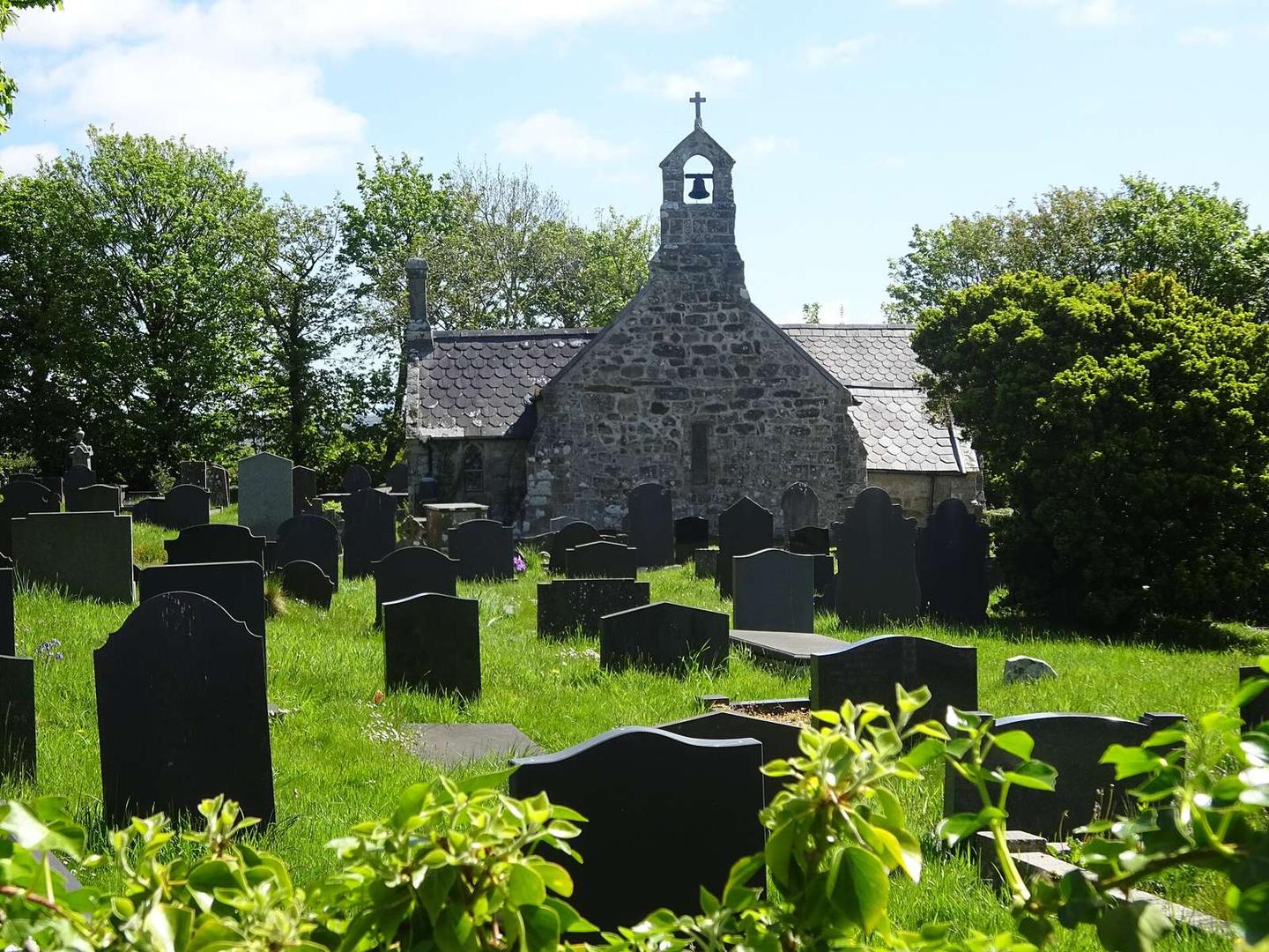
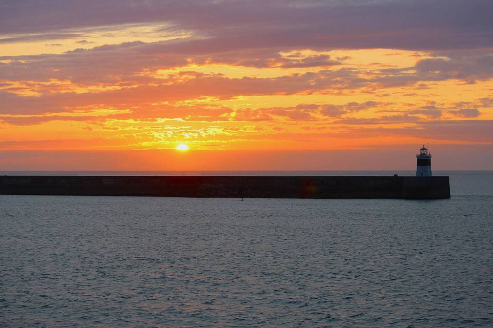
2 photographs from the road

Photo: Lewis Clarke · CC BY-SA 2.0 · Wikimedia Commons · Photo: 瑞丽江的河水 · CC BY-SA 4.0 · Wikimedia Commons · Photo: Monsyn · CC BY-SA 4.0 · Wikimedia Commons

Stage of

More rides from Holyhead