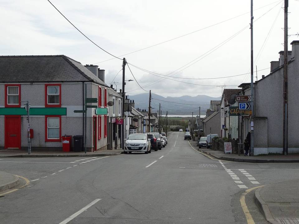
Caernarfon to Tal-y-bont
- 75 km
- 875 m
- Hard
- Paved
Elevation profile
- 875 m
- 75 km
Route overview
This ride suits cyclists looking for a medium-distance route with moderate to challenging climbs totaling 875 m elevation.
Stage 2 of 2 of the EuroVelo 2: 75.2 km from Caernarfon to Tal-y-bont with 875 m of climbing, on the signed route.
The ride starts in Caernarfon passing through Llanfaglan, Bontnewydd, Llanwnda, Groeslon, Pen-y-groes, and Llanllyfni heading towards Pant Glas and Bryncir. After 33 km, the route climbs twice near Criccieth with moderate gradients up to 6.2%. The roads are mainly paved with 97% paved surface, including 55% minor roads and 29% cycle paths. Main roads cover 7% with 5.6 km lacking cycle lanes. After Bryncir, the route continues past Llanystumdwy, Criccieth, and Tremadog to Porthmadog, then Penrhyndeudraeth and Harlech with climbs including one 3.9 km long averaging 6.2% maxing at 13.1% near the route's high point at 281 m. The last section passes through Llanbedr and ends at Tal-y-bont. Services along the route include cafés, shops, bike shops and stations at various points, though there is an 11 km stretch without café, shop, or water between 33.2 km and 44.3 km.
Highlights
- Climbs near Criccieth
- High point at 281 m near 60 km
- Passes through Harlech
- Via Porthmadog and Tremadog
Along the route
Places passed
Climbs
| Climb | Starts at | Length | Gain | Average | Max | Top |
|---|---|---|---|---|---|---|
| — | 32.9 km | 1.8 km | 67 m | 3.8 % | 6.1 % | 87 m |
| — | 34.8 km | 2.1 km | 40 m | 2 % | 6.2 % | 130 m |
| — | 52.6 km | 1.9 km | 92 m | 5 % | 9 % | 98 m |
| — | 55.7 km | 3.9 km | 242 m | 6.2 % | 13.1 % | 277 m |
| — | 67.3 km | 2 km | 117 m | 5.8 % | 11.3 % | 132 m |
What this ride is like
- Roads
- 55% minor road · 29% cycle path · 7% main road · 6% quiet street
- Main roads
- 5.6 km on main roads without a cycle lane — likely busier
- Fast roads
- 1.9 km on roads with a limit of 80 km/h or more
- Cycle paths
- 21.5 km on cycle paths or roads with a cycle lane
- Main roads used
- Lôn Eifion (18 km), Fonllech Hir (9 km)
- Surface
- Paved throughout
- Gradient
- 24% climbing · 25% descending · 51% flat
- Steep sections
- 5.2 km over 5% · 2 km over 8% · 1.2 km over 10% · steepest 500 m averages 12.6% at 59.6 km
- Longest descent
- 5.2 km from 61 km, dropping 265 m
Along the way
Food, water and shops
- 0 kmDrinking water · 60 m off route
- 0.1 kmBeics Menai · bike rental · 30 m off route
- 0.2 kmCaffi De Winton · café · on the route
- 0.8 kmTesco · supermarket · 70 m off route
- 8.4 kmCaffi Gerlan · café · 30 m off route
- 11.6 kmFfynnon Rhedyw · spring · 140 m off route
- 31.9 kmParciau Filling Station · petrol station · 220 m off route
- 33.1 kmNisa Local · convenience store · 30 m off route
- 45.5 kmToilets · 50 m off route
- 46 kmRowlands Pharmacy · pharmacy · 160 m off route
- 46.3 kmLondis · convenience store · on the route
- 51.1 kmToilets · 50 m off route
- 51.3 kmSpar · convenience store · on the route
- 64.5 kmFfynnon Fair · spring · 150 m off route
- 67.6 kmWenallt Deli & Tea Rooms · café · 60 m off route
- 67.6 kmSnowdonia Cycles · bike shop · 90 m off route
- 72.4 kmCaffi Hen Crydd · café · 50 m off route
- 72.6 kmPetrol station · on the route
Need to bail out?
- 4.5 km — Dinas (station), on the route
- 31.9 km — Criccieth (station), 290 m off route
- 46.4 km — Porthmadog Harbour (station), 50 m off route
- 52.7 km — Llandecwyn (station), on the route
- 65.6 km — Pensarn (station), 70 m off route
- 73.9 km — Talybont (station), 400 m off route
Worth a stop
- 0 km — Caernarfon Castle (castle)
- 29.2 km — David Lloyd George's Grave (attraction)
- 32.8 km — Criccieth Castle (castle)
- 59.8 km — Fonllech Menhir 6 (archaeological site)
- 63.5 km — Fronlief Hir Standing Stones (archaeological site)
- 69.8 km — Burial Chamber (archaeological site)
At the start
- Bontà Deli · café · 90 m
- Caffi Maes · café · 60 m
- Spar · convenience store · 60 m
- The Castle · pub · 50 m
- The Palace Vaults · pub · 80 m
At the finish
- Tony's Take-away. Pizza & Pasta · restaurant · 30 m
- Ysgethin Inn · pub · 170 m
- Talybont · station · 400 m
Stay after this ride
- Talybont Bed & Breakfast · guest house · 40 m from the finish
- Rowen Holiday Park · campsite · 230 m from the finish
- LLlwyn Ynn Cottage · guest house · 200 m from the finish
- Llwyn Griffri Farm · campsite · 380 m from the finish
- Tyddyn Goronwy Camping Park · campsite · 500 m from the finish
Practical information
- Paved
- Point to point
- 5 h 22 min
- Jun to Sep — daily highs of 17–19 °C in those months
Know before you go
- 11.1 km without café, shop or water between 33.2 km and 44.3 km
- 5.6 km on main roads without cycle lane
- 1.9 km on fast roads (80 km/h+)
- Steepest 500m gradient 12.6% near 59.6 km