Cyclists.com

Lôn Las Cefni

Newborough, Isle of Anglesey, United KingdomMixed

Signed route The waymarked Lôn Las Cefni (local route), traced from OpenStreetMap and measured against the terrain model; no member has recorded it yet. Ridden it? Add your recording and photos.

21 km
Distance
45 m
Elevation gain
Easy
Difficulty
Mixed
Surface
Download GPXMap

Elevation profile

Total ascent
45 m
Distance
21 km
0204060m0 km5101521 km46 m · highest, at 0.5 kmStartFinish

Route overview

This route suits riders looking for a moderate 21 km ride with minimal climbing and mostly flat terrain.

Lôn Las Cefni is a 21km point-to-point route on the Isle of Anglesey, from Newborough to Bodffordd with 45m climbing.

This 21km route begins in Newborough at 46m height, quickly descending to 0m at 5.9km. The profile is mostly flat, with only minor climbing and descending of 7% each and the steepest 500m segment at 4.2% near the start. The longest descent is 1.3km dropping 30m from 2.1km. About 75% of the surface is paved, with 25% gravel or unpaved sections. The route consists primarily of 12km of cycle path, 4.2km of minor road, 2.9km of track, 0.9km of path, and 0.8km of quiet street. There are 3.6km of fast roads with 80 km/h or more limits.

Highlights

  • Cycle path for 12 km
  • Visit Malltraeth at 6.3 km
  • Pass Llangefni at 16.6 km
  • Ruins at 3.2 km
  • Rayner Memorial Clock Tower at 16.6 km

Along the route

Measured from the recorded track and OpenStreetMap.

Places passed

  1. Malltraeth 6.3 km
  2. Llangefni 16.6 km

What this ride is like

Measured from OpenStreetMap along the track and the elevation profile.

Roads
57% cycle path · 20% minor road · 14% track · 4% path
Fast roads
3.6 km on roads with a limit of 80 km/h or more
Cycle paths
12 km on cycle paths or roads with a cycle lane
Surface
75% paved · 25% gravel or unpaved
Gradient
7% climbing · 7% descending · 87% flat

Along the way

Within a few hundred metres of the track, from OpenStreetMap. Opening hours change — treat this as where to look, not a promise.

Food, water and shops

  1. 0 kmCaffi Wiwer Goch · café · on the route
  2. 0 kmPremier Newborough Stores · convenience store · on the route
  3. 6.3 kmMalltraeth Village Store · convenience store · 130 m off route
  4. 6.4 kmRiverside Cafe · café · 50 m off route
  5. 16.4 kmAldi · supermarket · 120 m off route
  6. 16.5 kmToilets · 40 m off route
  7. 16.6 kmgwalia · bakery · 40 m off route
  8. 16.6 kmRowlands Pharmacy · pharmacy · 100 m off route
  9. 16.9 kmAsda · petrol station · 100 m off route
  10. 17.1 kmAnglesey Bikes · bike shop · 100 m off route

Worth a stop

  • 3.2 kmFilling Mill Ruin/Weaving Works (ruins)
  • 16.6 kmRayner Memorial Clock Tower (attraction)

At the start

  • Caffi Wiwer Goch · café · 20 m
  • Premier Newborough Stores · convenience store · 20 m
  • The White Lion · pub · 30 m
  • The Codmother · fast food · 30 m

Stay after this ride

  • Bull Hotel · hotel · 3.2 km from the finish
  • Nant yr Odyn · hotel · 3.9 km from the finish

Practical information

Surface
Mixed
Route shape
Point to point
Riding time
1 h 30 min
Best months
Jun to Sep — daily highs of 17–18 °C in those months

Know before you go

  • Longest stretch without café, shop or water: 9.6 km from 6.4 km
  • 3.6 km on fast roads with 80 km/h+ limits
  • 25% gravel or unpaved surface

Routes are for inspiration. Roads, surfaces and conditions change — check locally and ride within your limits.

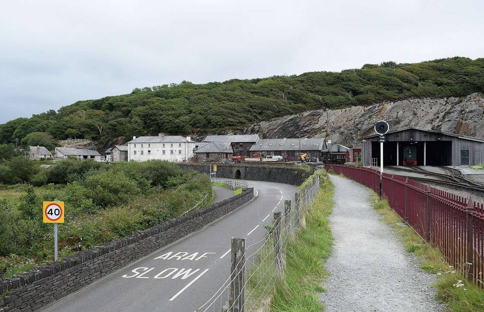
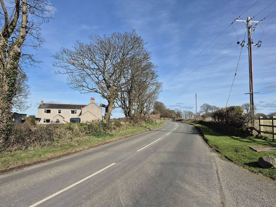
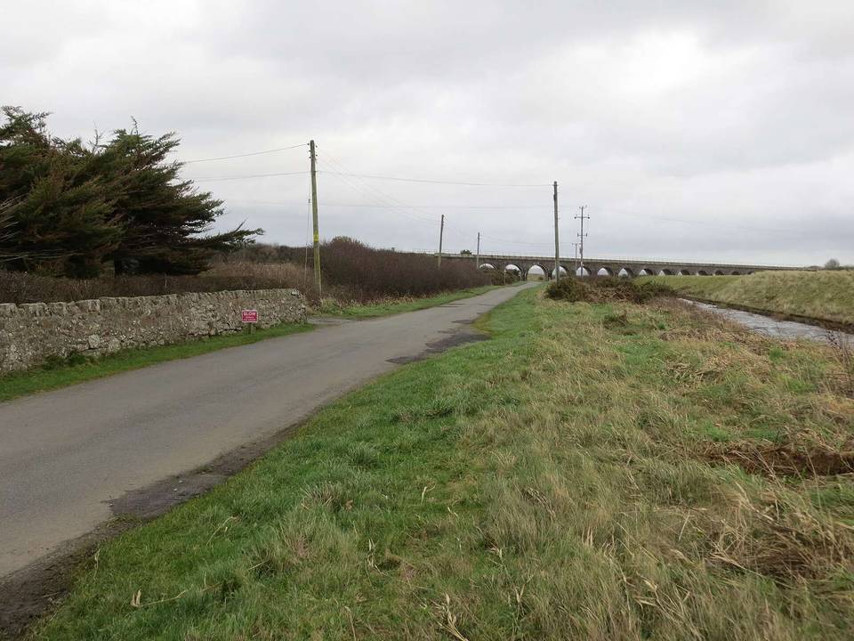
2 photographs from the road

Photo: Neil Theasby · CC BY-SA 2.0 · Wikimedia Commons · Photo: David Medcalf · CC BY-SA 2.0 · Wikimedia Commons