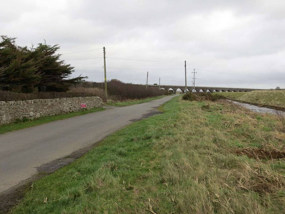
Road · United Kingdom
A rolling 24 km road cycling route from Llangristiolus, Isle of Anglesey through Bethel, Trefdraeth and Malltraeth, with 117 m of climbing.
The route starts at Llangristiolus and heads through Bethel at 7.6 km, Trefdraeth at 8.7 km, Malltraeth at 11.6 km, Hermon at 13.7 km, Llangadwaladr at 14.2 km, and finishes at Aberffraw at 18.7 km. The road surface is 99% paved, with 1% unmapped sections, and consists mainly of minor roads (89%) with 8% on main roads. There are 2 km of main roads without cycle lanes and 3.6 km on roads with a speed limit of 80 km/h or more.
The route features gentle gradients with a total elevation gain of 117 m. The highest point is 59 m at 14.3 km, and the lowest is 1 m at 11 km. Climbing accounts for 17% of the route while descending is 19%, with the longest descent extending 1.3 km dropping 37 m. There is a short steep section of 0.1 km at 3.2% gradient around 7.1 km.
Food and drink options include the Riverside Cafe near 11.4 km (46 m off route) and The Crown Inn pub at 18.7 km (156 m off route). A convenience store is available at Malltraeth Village Store (11.6 km, 14 m off route). The longest stretch without shops, cafés, or water is 7.5 km from the start. There is a bailout point at Bodorgan station 6.7 km away but 587 m off route.
Mostly minor roads and streets on the map; 2 km is on main roads without a cycle lane.
No stretch is longer than 15 km without a café, shop or water. Along the route: 5 cafés and restaurants, 2 shops and 2 water points.