Mixed · United Kingdom
A rolling 28 km road cycling route from Malltraeth, Isle of Anglesey through Llangefni, Bodffordd and Llangwyllog, with 119 m of climbing.
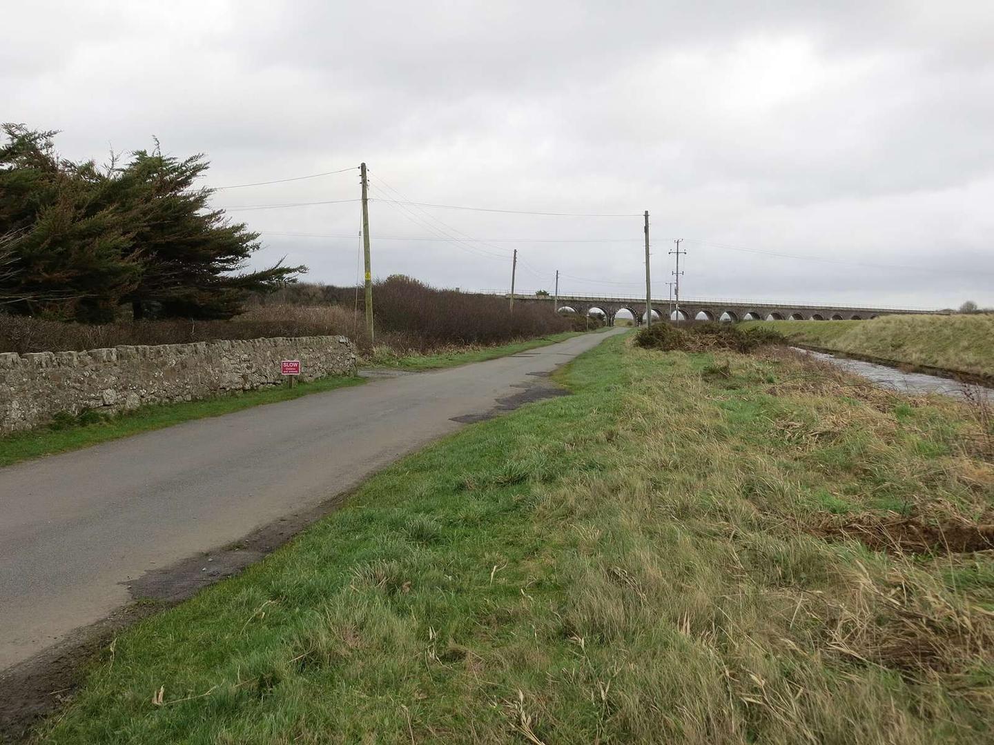
The route starts near Malltraeth at about 1.7 km, passing through Llangefni at 11.9 km, Bodffordd at 16.3 km, and Llangwyllog at 18.4 km before finishing at Llannerch-y-Medd at 27.5 km. Surface is mainly paved at 92% with 8% gravel or unpaved. The ascent totals 119 m with a highest point at 100 m near 26.7 km. There are no significant climbs, with 13% climbing and 4% descending.
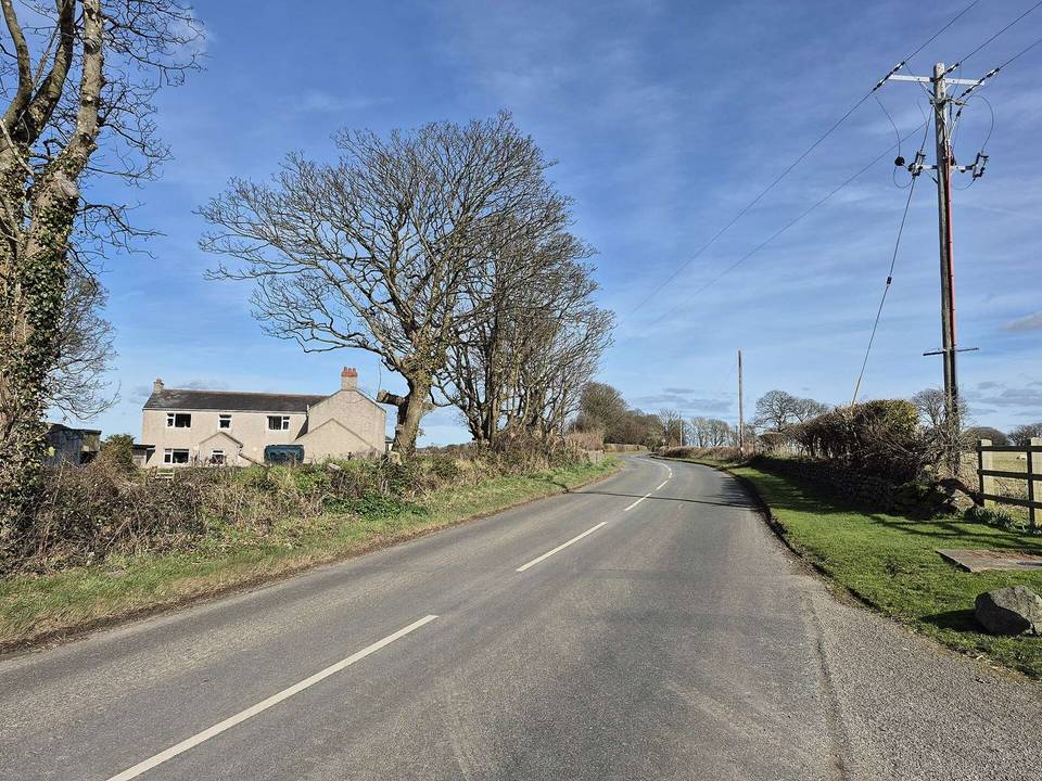
The route runs 48% on minor roads and 43% on cycle paths, with minor sections of main roads, quiet streets, and paths. Notably, 11.9 km are on cycle paths or lanes. The longest named road is Lôn Coedanna, ridden for 3.5 km. There is a 2.7 km section with posted limits of 80 km/h or more.
Food and drink options include the Riverside Cafe near Malltraeth at 1.8 km and a bakery named Gwalia at Llangefni 11.9 km off route. Shops such as Malltraeth Village Store and Aldi at Llangefni provide convenience. There is a 15 km stretch from 12.4 km to 27.4 km with no café, shop, or water. Toilets are available near Llangefni. Bike shop and petrol station are present around 12.2-12.4 km. At the finish in Llannerch-y-Medd are the Station Cafe and two pubs.
Mostly minor roads and streets on the map.
The longest stretch without a café, shop or water is 15 km, from km 12 to 27. Along the route: 31 cafés and restaurants, 8 shops, 3 petrol stations, 1 public toilet and 1 bike shop.