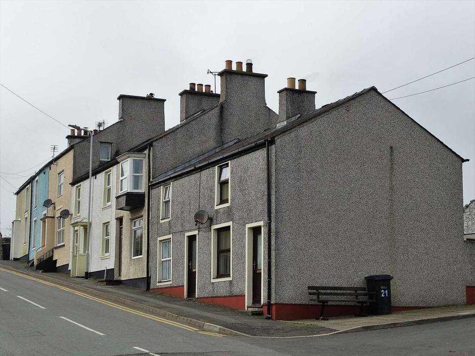
Road · United Kingdom
A rolling 21 km road cycling loop from Llanbabo, Isle of Anglesey through Rhosgoch, Rhosybol and Llannerch-y-Medd, with 98 m of climbing.
This 20.6 km route begins at Llanbabo and progresses through Rhosgoch at 5.5 km, Rhosybol at 7.4 km, Llannerch-y-Medd at 11.5 km and Llantrisant at 18.2 km before returning to Llanbabo. The route is a loop with a total elevation gain of 98 m, with most climbing in the first half accounting for 63% of the total ascent.
The highest point on the route is at 89 m altitude, reached around 14.6 km, and the lowest point is 36 m near the finish at 20 km. The profile features 15% climbing, 15% descending and 70% flat terrain, with very short sections steeper than 5, 8 or 10% gradients.
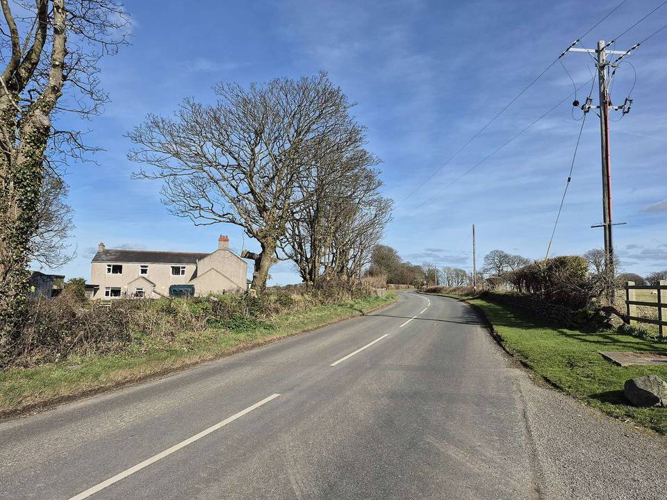
The entire route is paved, with 84% on minor roads and 14% on main roads, specifically 2.9 km on main roads without cycle lanes. Services include a spring at 4.9 km and 13.7 km, and pubs or cafés just off route at 5.7 km and 11.7 km respectively. Note there is a 5.7 km stretch from 5.7 to 11.4 km without cafés, shops or water. An archaeological site is located just off route near the end.
Mostly minor roads and streets on the map; 2.9 km is on main roads without a cycle lane.
No stretch is longer than 15 km without a café, shop or water. Along the route: 6 cafés and restaurants and 4 water points.