
Cycling in Hawes
2 cycling routes from Hawes, United Kingdom, 7 to 8 km, 15 km mapped in all, with up to 345 m of climbing in a day. Mountainous riding (43 m of climbing per km on average), mostly road routes. 2 named climbs; the high point is 584 m on Fleet Moss from Hawes. Best months to ride: Jun to Aug.
At a glance
- Routes
- 2
- Lengths
- 7–8 km
- Biggest day
- 345 m
- Terrain
- Mountainous
- Bike
- Road bike
- Difficulty
- Easy
- Named climbs
- 2
- Best months
- Jun to Aug
- GPX
- Every route
Know before you go
Added up from the recorded routes and OpenStreetMap; nothing estimated.
- High point
- 584 m on Fleet Moss from Hawes.
- Climbs
- 2 named climbs.
Cycling guide to Hawes
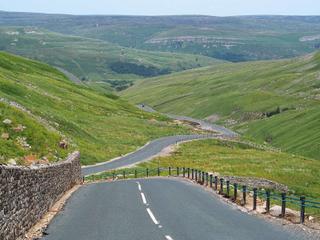
Hawes serves as the start for routes such as Buttertubs Pass and Fleet Moss, both reaching neighbouring places Gayle and Simonstone. These point-to-point rides climb steadily through upland areas, with elevations up to 584 m. Cyclists tackling Buttertubs Pass cover 7.5 km with a 298 m elevation gain, passing through Gayle and Simonstone. Fleets Moss route is slightly shorter at 7 km with a 345 m gain, finishing at Gayle. Both routes feature mostly paved surfaces with small sections of gravel or unpaved road, and minimal main road segments without cycle lanes. There are no cycle paths or railway stations near these routes, and riders should be prepared for long stretches without services, up to 6.4 km.
More on terrain
Terrain
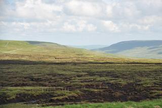
The terrain from Hawes is notably hilly with sustained climbs averaging around 5.4 to 5.7% gradient. Both routes rise to significant heights, with Fleet Moss reaching 584 m and Buttertubs Pass topping at 510 m. Maximum gradients reach 11.8% and 12.5%, making these routes demanding but suitable for those seeking moderate mountainous terrain.