
Cyclists.com

Buttertubs Pass from Hawes

Hawes, United KingdomRoad

Routed from the map This classic road was traced on OpenStreetMap and measured against the terrain model; no member has recorded it yet. Ridden it? Add your recording and photos.

8 km
Distance
298 m
Elevation gain
Easy
Difficulty
Paved
Surface

Elevation profile

Total ascent
298 m
Distance
8 km
Elevation (m)01002003004005006000 km2 km4 km6 km8 kmHighest point524 m at 6.8 kmStart0 kmFinish8 km

Route overview

Suitable for riders prepared for a short but steep 7.5 km climb with moderate elevation gain.

A 7.5 km point-to-point ride from Hawes to Buttertubs Pass with 298 m of climbing in the UK.

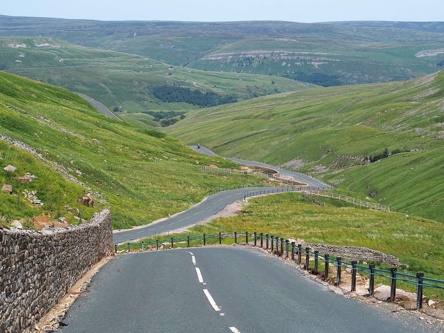
This route starts in Hawes, passing through Gayle at the start and Simonstone at 2.5 km. It primarily follows minor roads covering 7 km with 96% paved surface and a small section of gravel. Of the 7.5 km, 6.7 km are on roads with speed limits of 80 km/h or higher. From km 1 to km 6, there is a significant climb covering 5 km with a gain of 283 m at an average gradient of 5.7% and a maximum gradient of 11.8%. The climb reaches its highest point at 523 m around km 6.8, beneath Hood Rigg peak near the route's end. Amenities near Hawes include cafés, pubs, and a convenience store. The longest section without a café, shop, or water is 6.2 km between km 0.3 and km 6.5. There are toilets and a spring near km 6.5. Points of interest near the start include Hawes Ropemakers and near the finish, the Butter Tubs attraction.

Highlights

  • Climb with 283 m gain over 5 km
  • Highest point at 523 m near Hood Rigg
  • Passes through Gayle and Simonstone
  • Buttertubs attraction at 7.5 km

Along the route

Measured from the recorded track and OpenStreetMap.

Places passed

  1. Simonstone 2.5 km

Climbs

ClimbStarts atLengthGainAverageMaxTop
Hawes climb1 km5 km283 m5.7 %11.8 %510 m

High point 523 m at 6.8 km; low point 225 m. Passes beneath Stony Haw, Pike Hill, Floshes Hill.

Hawes climb · starts at 1 km

4.9 km at 5.7% · 283 m
250300350400450500ELEVATION (M)4.4%10%5.4%3.7%0 km12344.9 kmDISTANCE (KM)Hawes climb · 510 mSTEEPEST 10.3%
< 4%4 – 7%7 – 10%> 10%

What this ride is like

Measured from OpenStreetMap along the track and the elevation profile.

Roads
93% minor road
Fast roads
6.7 km on roads with a limit of 80 km/h or more
Surface
Paved throughout
Gradient
70% climbing · 7% descending · 23% flat
Steep sections
2.8 km over 5% · 1.1 km over 8% · 0.7 km over 10% · steepest 500 m averages 14.5% at 0 km

Along the way

Within a few hundred metres of the track, from OpenStreetMap. Opening hours change — treat this as where to look, not a promise.

Food, water and shops

  1. 0 kmElijah Allen & Son · convenience store · 110 m off route
  2. 0 kmJohn Hogg · pharmacy · 100 m off route
  3. 0.3 kmFirebox Café · café · 40 m off route
  4. 0.3 kmToilets · on the route
  5. 6.5 kmSpring · on the route

Worth a stop

  • 0.2 kmHawes Ropemakers (attraction)
  • 7.5 kmButter Tubs (attraction)

At the start

  • Laburnum House Tea Room · café · 50 m
  • The Herriot Gallery · café · 60 m
  • White Hart Inn · pub · 40 m
  • The Fountain · pub · 120 m
  • Elijah Allen & Son · convenience store · 110 m

Practical information

Surface
Paved
Route shape
Point to point
Riding time
32 min

Know before you go

  • 6.2 km without café, shop or water from km 0.3 to 6.5
  • 6.7 km on roads with 80 km/h+ speed limit
  • Up to 14.5% gradient on steepest 500 m

Routes are for inspiration. Roads, surfaces and conditions change — check locally and ride within your limits.

More rides from Hawes