
Cyclists.com

Fleet Moss from Hawes

Hawes, United KingdomRoad

Routed from the map This classic road was traced on OpenStreetMap and measured against the terrain model; no member has recorded it yet. Ridden it? Add your recording and photos.

7 km
Distance
345 m
Elevation gain
Easy
Difficulty
Paved
Surface

Elevation profile

Total ascent
345 m
Distance
7 km
Elevation (m)01002003004005006000 km2 km4 km6 km7 kmHighest point584 m at 6.6 kmStart0 kmFinish7 km

Route overview

This short but steep 7 km climb is suited to cyclists looking for a challenging ascent with significant elevation gain.

A 7 km point-to-point climb from Hawes to Fleet Moss with 345 m elevation gain in the UK.

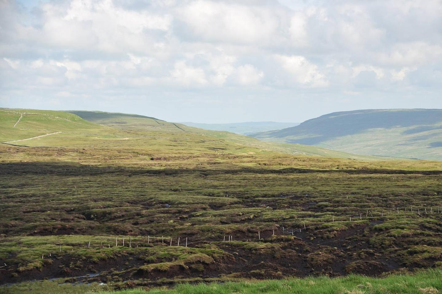
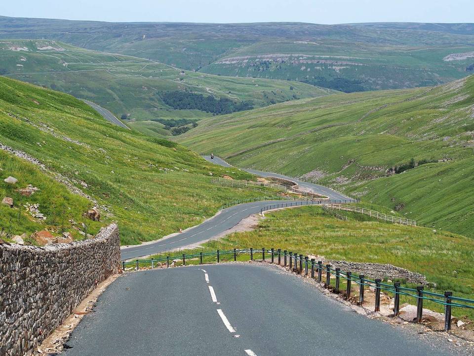
Starting in Hawes, the route passes through Gayle at 1 km. The road ascends steadily from 238 m to 584 m over 6.4 km, climbing 343 m with an average gradient of 5.4%, including sections up to 12.5% and a steepest 500 m at 17.7% right after leaving Hawes. The climb covers mainly paved surfaces (94%) on minor roads (90%), with about 5.7 km on roads with speed limits of 80 km/h or more. The longest named road ridden is Beggarmans Road for 3.9 km. Facilities cluster near the start: cafés, a convenience store, petrol station, and toilets are all within 0.5 km in Hawes. After 0.6 km, there are no cafés, shops, or water sources for 6.4 km until the finish. The ascent runs beneath local peaks Floshes Hill, Pike Hill, Stony Haw, and Howgate Head. The route is a point-to-point primarily climbing ride ending at Fleet Moss. There are no bailout points noted, and the route's flat and descending sections are minimal.

Highlights

  • Fleet Moss summit at 584 m
  • Passes through Gayle at 1 km
  • Longest climb 6.4 km at 5.4% average
  • Begarmans Road 3.9 km long section

Along the route

Measured from the recorded track and OpenStreetMap.

Climbs

ClimbStarts atLengthGainAverageMaxTop
Fleet Moss0.2 km6.4 km343 m5.4 %12.5 %584 m

High point 584 m at 6.6 km; low point 238 m. Passes beneath Floshes Hill, Pike Hill, Stony Haw.

Fleet Moss · starts at 0.2 km

6.4 km at 5.4% · 343 m
250300350400450500550ELEVATION (M)2.2%7.3%11%5.5%2.1%0 km123456.4 kmDISTANCE (KM)Fleet Moss · 584 mSTEEPEST 11.4%
< 4%4 – 7%7 – 10%> 10%

What this ride is like

Measured from OpenStreetMap along the track and the elevation profile.

Roads
90% minor road
Fast roads
5.7 km on roads with a limit of 80 km/h or more
Main roads used
Beggarmans Road (4 km)
Surface
Paved throughout
Gradient
87% climbing · 1% descending · 11% flat
Steep sections
3.4 km over 5% · 1.4 km over 8% · 1 km over 10% · steepest 500 m averages 17.7% at 0 km

Along the way

Within a few hundred metres of the track, from OpenStreetMap. Opening hours change — treat this as where to look, not a promise.

Food, water and shops

  1. 0.1 kmToilets · on the route
  2. 0.2 kmElijah Allen & Son · convenience store · on the route
  3. 0.2 kmJohn Hogg · pharmacy · on the route
  4. 0.4 kmPenny Garth Cafe · café · on the route
  5. 0.4 kmDalehead Garage · petrol station · 40 m off route

Worth a stop

  • 0.6 kmWensleydale Creamery (attraction)
  • 6.9 kmold mine workings? (archaeological site)

At the start

  • The Herriot Gallery · café · 60 m
  • Caffe Curva · café · 70 m
  • White Hart Inn · pub · 40 m
  • The Fountain · pub · 120 m
  • Elijah Allen & Son · convenience store · 110 m

Practical information

Surface
Paved
Route shape
Point to point
Riding time
30 min

Know before you go

  • 6.4 km with no café, shop or water after 0.6 km
  • 5.7 km on roads with 80 km/h or more speed limits

Routes are for inspiration. Roads, surfaces and conditions change — check locally and ride within your limits.

More rides from Hawes