
Cycling in Skellingthorpe
2 cycling routes from Skellingthorpe, England, United Kingdom, 29 to 47 km, 75 km mapped in all, with up to 79 m of climbing in a day. Mostly flat riding (2 m of climbing per km on average), mostly road routes.
At a glance
- Routes
- 2
- Lengths
- 29–47 km
- Biggest day
- 79 m
- Terrain
- Flat
- Surface
- Mostly paved
- Bike
- Road bike
- Difficulty
- Easy
- GPX
- Every route
Know before you go
Added up from the recorded routes and OpenStreetMap; nothing estimated.
- Surface
- Paved almost throughout.
- Bail-outs
- A railway station or ferry within reach on 2 routes.
Cycling guide to Skellingthorpe
Skellingthorpe is a starting point for a 28.7 km loop heading through villages such as Eagle Moor, South Scarle, Collingham, Swinderby, Eagle Barnsdale, Eagle, and Doddington. The route features mainly paved roads with a very small portion of gravel or unpaved surface. Riders can pass two railway stations near the route, enhancing access and connectivity. The longest stretch without services is 13.2 km, so preparation for supplies is advised. This loop route provides gentle terrain with an elevation gain of 61 m and no significant climbs, reaching a maximum height of just 36 m. The roads include only 0.1 km on main roads without cycle lanes, indicating predominantly minor roads are used.
More on best time to ride, terrain
Best time to ride
July is a recorded month for cycling on this route, though there is no specific temperature data available.
Terrain
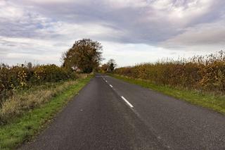
Terrain along the Skellingthorpe to South Collingham loop is flat to gently rolling, with a total elevation gain of 61 m and no steep climbs. The highest point reached is 36 m, and gradients are mild throughout. The route is 96% paved with minimal gravel sections, making for consistent riding surfaces.