
Cycling in Scothern
7 cycling routes from Scothern, England, United Kingdom, 28 to 108 km, 448 km mapped in all, with up to 336 m of climbing in a day. Mostly flat riding (2 m of climbing per km on average), mostly road and mixed-surface routes, 17% of the riding on main roads without a cycle lane.
At a glance
- Routes
- 7
- Lengths
- 28–108 km
- Biggest day
- 336 m
- Terrain
- Flat
- Surface
- Mostly paved
- Bike
- Road bike
- Difficulty
- Easy to Hard
- Longest gap
- 23 km
- GPX
- Every route
- Sudbrooke – Dunholme28 km33 m ↑Easy·Loop·Jul 2026GPX
- Sudbrooke – Skellingthorpe39 km123 m ↑Easy·Loop·Dec 2024GPX
- Sudbrooke – Kirton in Lindsey59 km107 m ↑Moderate·Loop·Jun 2024GPX
- Sudbrooke – Waddington63 km229 m ↑Moderate·Loop·Jul 2024GPX
- Sudbrooke – Thimbleby75 km102 m ↑Moderate·Loop·Jul 2026GPX
- Sudbrooke – Woodhall Spa76 km137 m ↑Moderate·Loop·Jul 2025GPX
- Sudbrooke – Great Gonerby108 km336 m ↑Hard·Loop·Jun 2024GPX
Know before you go
Added up from the recorded routes and OpenStreetMap; nothing estimated.
- Surface
- Paved almost throughout — 21 km of gravel or unpaved road across the routes.
- Roads
- 17% of the riding on main roads without a cycle lane · 15 km on cycle paths or lanes.
- Bail-outs
- A railway station or ferry within reach on 1 route.
- Ridden
- Jun to Jul, Dec, 7–26 °C recorded.
Cycling guide to Scothern
Scothern serves as a start point for three main loop routes in Lincolnshire, England. Distances range from 27.6 km to 107.8 km, covering nearby villages such as Stainton by Langworth, Welton, Reepham, and Nettleham. The routes provide varied lengths for different riding preferences, connecting small rural communities and passing through countryside.
The Sudbrooke – Great Gonerby loop is the longest at 107.8 km, featuring the highest elevation point of 101 m and climbing up to 43 m in 1.6 km with gradients averaging 2.7% and peaking at 5.4%. Shorter routes like Sudbrooke – Dunholme are flatter, with an elevation gain of just 33 m and a high point of 30 m. Almost all routes are predominantly paved, with minor portions of gravel or unpaved surfaces. Riders should note stretches without services extend beyond 20 km on these routes.
More on best time to ride, terrain
Best time to ride
Routes are recorded during June and July, suggesting summer months as the preferred riding time.
Terrain
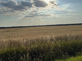
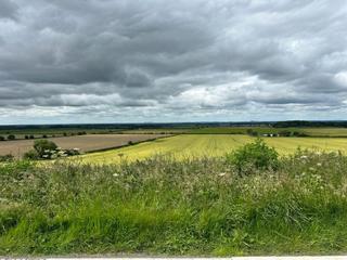
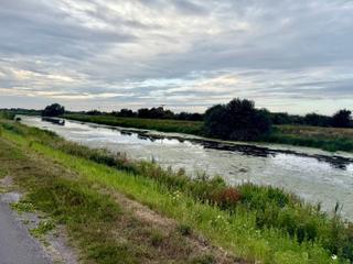
Terrain is generally rolling with modest elevation gains. The largest climb is on the 108 km route, rising 43 m over 1.6 km at gradients up to 5.4%. Other loops have minimal elevation, maxing around 30 to 57 m. Gradients are mild, suitable for moderate riding.