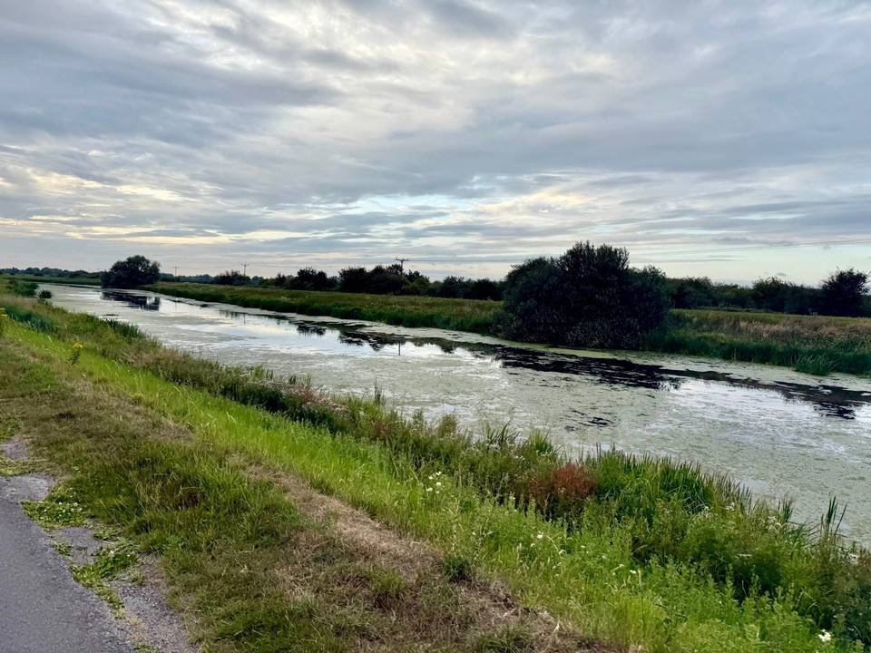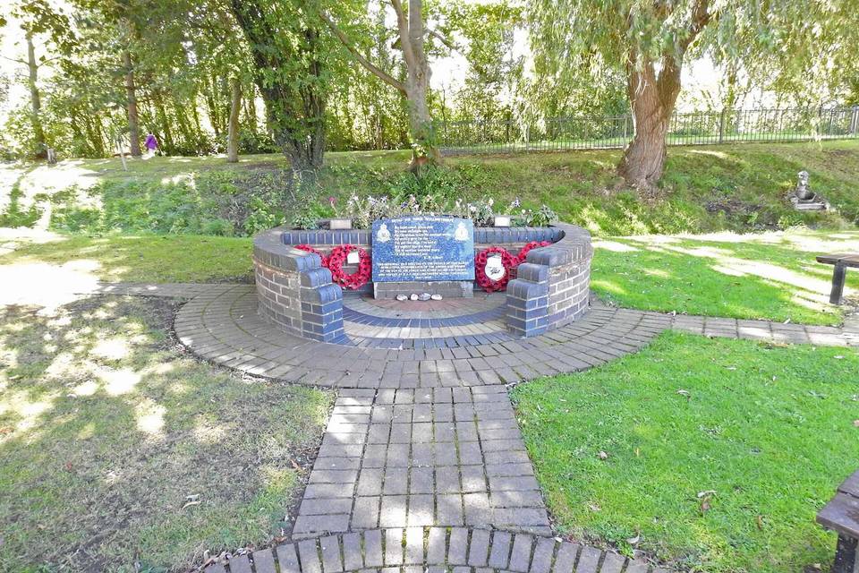
Road · United Kingdom
Sudbrooke – Dunholme
A flat 28 km road cycling loop from Scothern, England through Stainton by Langworth, Reasby and Snelland, with 33 m of climbing. The first 21 km has no café, shop or water.
At a glance
- Best for
- Easy, flat rides
- Distance
- 27.6 km
- Elevation gain
- 33 m
- Riding time
- 1–1½ hours
- Difficulty
- Easy
- Bike
- Road bike
- Surface
- Paved
- Traffic
- Mostly minor roads
- Food & water
- Longest gap 21 km
- Navigation
- GPX download
- Start and finish
- Scothern
Map and elevation profile
Elevation profile
- 33 m
- 28 km
Route description
- Scothern
- Stainton by Langworth
- Reasby
- Snelland
- Swinthorpe
- Snarford
- Spridlington
- Welton
- Scothern
This 27.6 km loop ride starts and finishes at Scothern, passing through the villages of Stainton by Langworth, Reasby, Snelland, Swinthorpe, Snarford, Spridlington, and Welton. The route predominantly uses minor roads (93%) with a small section of quiet street and path. Most of the surface is paved (99%), with just 1% gravel or unpaved.
The ride is almost entirely flat with an elevation gain of only 33 m, reaching a maximum height of 30 m near Welton at 24.7 km. The steepest 500 m section is gentle at 1.1% gradient roughly 2.5 km into the route. Around 11.5 km are on roads with posted limits of 80 km/h or more.
Facilities are limited along the route, with the longest stretch without a café, shop or water being 20.7 km from near the start to almost Welton. There is a pub, Bottle & Glass, just off route at the start and finish, and a café plus a supermarket near Welton at 22.1 km. An archaeological site, the medieval fishpond complex, is worth a stop near Welton, 240 m off route.
Highlights
- Medieval fishpond complex near Welton
- Route passes through seven villages
- Maximum elevation of 30 m near Welton
- Longest named road: Hackthorn Road, 4.2 km
Along the route
Places passed
Traffic, surface and gradient
Mostly minor roads and streets on the map.
- Roads
- 93% minor road · 3% quiet street · 3% path · 1% other roads and tracks
- Fast roads
- 11.5 km on roads with a limit of 80 km/h or more
- Main roads used
- Hackthorn Road (4 km), Swinthorpe Lane (3 km), Faldingworth Road (3 km)
- Surface
- Paved: 99% of the route is mapped as paved, 1% as unpaved.
- Gradient
- 0% climbing · 0% descending · 99% flat
Food, water and services
The longest stretch without a café, shop or water is 21 km, from the start. Along the route: 6 cafés and restaurants and 1 shop.
Food, water and shops in ride order
- 0.2 kmBottle & Glass · pub · on the route
- 22.1 kmThe Secret Garden Tea Rooms · café · on the route
- 22.1 kmLincolnshire Co-op · supermarket · 30 m off route
- 22.1 kmLincolnshire Co-op Pharmacy · pharmacy · 50 m off route
Worth a stop
- 22.4 km — Medieval fishpond complex (archaeological site)
Start and access
At the start and finish
- Food and coffee
- Bottle & Glass (150 m)
Know before you go
- Longest stretch without café or shop for 20.7 km
- 11.5 km on roads with speed limits of 80 km/h or more