Cyclists.com

Sudbrooke – Skellingthorpe

39 km mixed-surface cycling loop123 m climbing2–2½ hoursGPX

Scothern, England, United Kingdom · Mixed

A flat 39 km mixed-surface cycling loop from Scothern, England through Sudbrooke, South Carlton and North Carlton, with 123 m of climbing. There is a 20 km stretch without a café, shop or water (km 4–24). Mixed surface: 61% is mapped as paved and 38% as gravel or unpaved.

Route contributed by Richard Chapman · Created from a ride on Friday 13th December 2024

Download GPXMap

At a glance

Best for
Easy, flat rides
Distance
39.3 km
Loop
Elevation gain
123 m
3 m per km
Riding time
2–2½ hours
moving time, estimated
Difficulty
Easy
Bike
Gravel bike
from the mapped surface
Surface
Mixed surface
61% paved · 38% unpaved
Traffic
Mostly minor roads
1 km on main roads without a cycle lane · 5.6 km where the limit is 80 km/h or more · 2.6 km on cycle paths or lanes
Food & water
Longest gap 20 km
15 cafés and restaurants · 2 shops · 1 public toilet · 2 bike shops
Navigation
GPX download
free, no sign-in
Start and finish
Scothern

Map and elevation profile

Elevation profile

Total ascent
123 m
Distance
39 km
020406080m0 km10203039 km64 m · highest, at 30.7 kmStartFinish · back at the start

Route description

  1. Scothern
  2. Sudbrookekm 2
  3. South Carltonkm 15
  4. North Carltonkm 17
  5. Odderkm 24
  6. Burton Waterskm 26
  7. Burton-by-Lincolnkm 30
  8. Riseholmekm 32
  9. Nettlehamkm 35
  10. Scothernkm 39

The route starts and finishes at Scothern, passing through Sudbrooke early at 2 km and then through villages like South Carlton at 15.2 km and North Carlton at 16.7 km. The route uses predominantly minor roads for 16.7 km and includes 7.6 km on tracks and 5.8 km on paths. There is also a short 0.8 km on main roads, with 1 km of main roads lacking a cycle lane, and 5.6 km on fast roads with posted limits of 80 km/h or more.

A notable climb starts just before 29 km at Burton-by-Lincoln, climbing 1.4 km with an average gradient of 3.8% and a maximum of 6.3%, rising to 64 m. The route has a low point at 3 m around 21.8 km and is mostly flat with 86% of the route flat and only 6% climbing. The longest descent is 1.8 km dropping 45 m from just after 15.7 km. Surfaces include 61% paved and 38% gravel or unpaved.

Along the route, the longest stretch without cafés, shops, or water is 20 km between 4.1 and 24.1 km. A convenience store can be found near the start at 4.1 km, and there are cafés at 24.1 km and 35 km slightly off the route. There are bike rental facilities at 25.9 km and toilets at 25.8 km. The route includes 3.2 km on Riseholme Lane and finishes back at Scothern where there is a pub.

Highlights

  • Climb near Burton-by-Lincoln to 64 m
  • Villages of Sudbrooke and South Carlton
  • Ride along Riseholme Lane for 3.2 km
  • Longest descent of 1.8 km from 15.7 km

Along the route

Measured from the route line, the Copernicus elevation model and OpenStreetMap.

Places passed

  1. South Carlton 15.2 km
  2. North Carlton 16.7 km
  3. Odder 23.6 km
  4. Burton Waters 26 km
  5. Burton-by-Lincoln 29.5 km
  6. Riseholme 31.7 km
  7. Nettleham 35 km

Climbs

Climbs in ride order: where each starts, what this ride climbs, and the full named ascent
ClimbStarts atOn this rideTop on this ride
Unnamed climb28.6 km1.4 km · 53 m · 3.8 % · max 6.3 %64 m

High point 64 m at 30 km; low point 3 m.

Traffic, surface and gradient

Measured from OpenStreetMap along the track and the elevation profile.

Mostly minor roads and streets on the map; 1 km is on main roads without a cycle lane.

Roads
43% minor road · 20% track · 15% path · 13% quiet street · 9% other roads and tracks
Main roads
1 km on main roads without a cycle lane — likely busier
Fast roads
5.6 km on roads with a limit of 80 km/h or more
Cycle paths
2.6 km on cycle paths or roads with a cycle lane
Main roads used
Riseholme Lane (3 km)
Surface
Mixed surface: 61% is mapped as paved and 38% as gravel or unpaved.
Gradient
6% climbing · 7% descending · 86% flat

Food, water and services

Within a few hundred metres of the track, from OpenStreetMap. Opening hours change — treat this as where to look, not a promise.

The longest stretch without a café, shop or water is 20 km, from km 4 to 24. Along the route: 15 cafés and restaurants, 2 shops, 1 public toilet and 2 bike shops.
Food, water and shops in ride order

  1. 4.1 kmPremier Nettleham Convenience Store · convenience store · 50 m off route
  2. 24.1 kmMicks A57 cafe · café · on the route
  3. 25.8 kmToilets · on the route
  4. 25.9 kmBurton Waters (Woodcocks) · bike rental · on the route
  5. 35 kmThe Tea Cosy · café · 200 m off route
  6. 35 kmLincolnshire Co-op · supermarket · 260 m off route
  7. 35 kmLincolnshire Co-op Pharmacy · pharmacy · 270 m off route

Start and access

Starts and finishes at Scothern. Mapped within a short walk of the start, from OpenStreetMap.

At the start and finish

Food and coffee
Bottle & Glass (120 m)

Know before you go

  • 20 km without café, shop or water between 4.1 and 24.1 km
  • 1 km on main roads without a cycle lane
  • 5.6 km on fast roads (80 km/h or more)
  • 38% gravel or unpaved surface

Routes are for inspiration. Roads, surfaces and conditions change — check locally and ride within your limits.

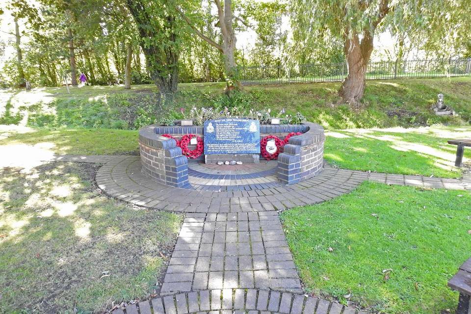
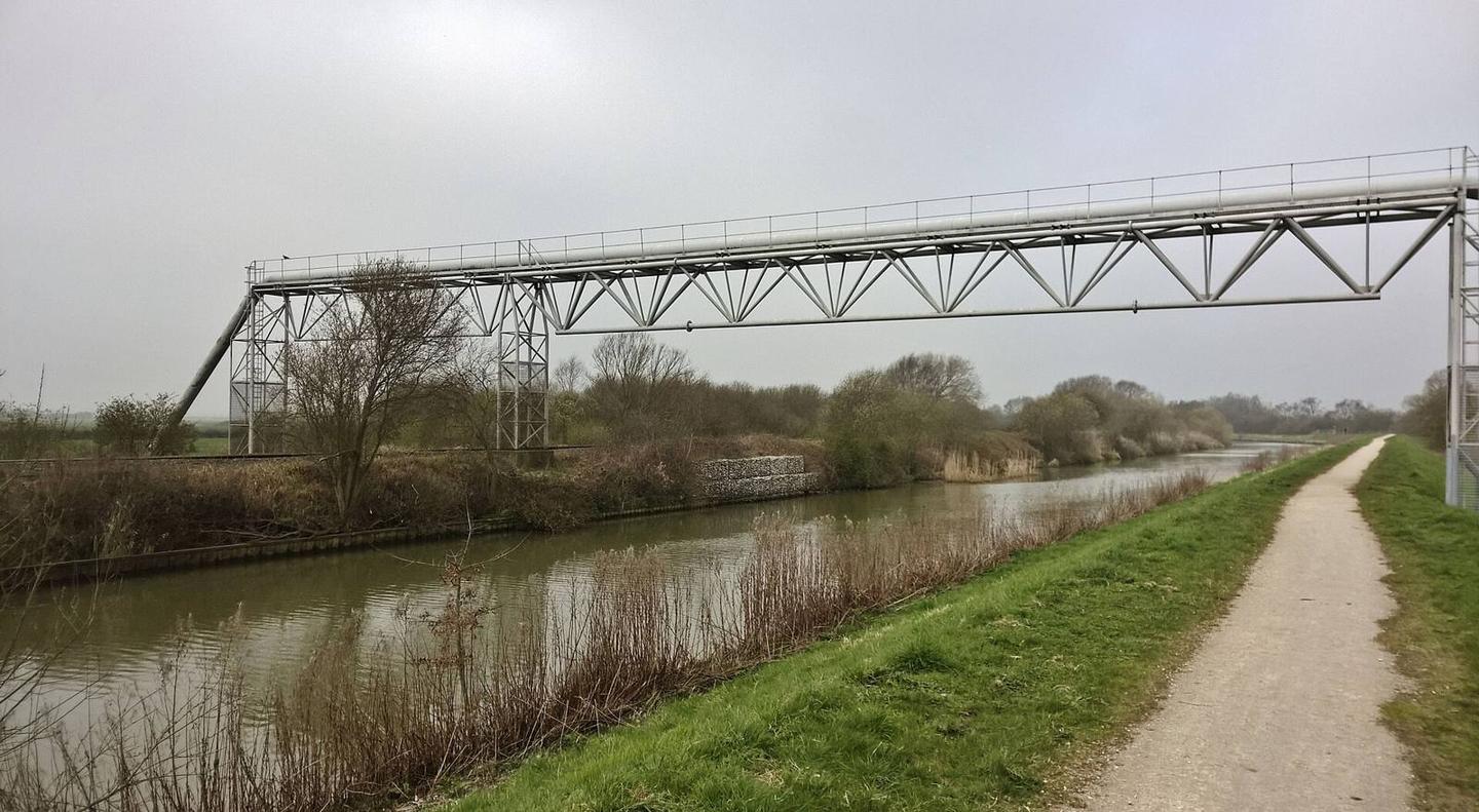
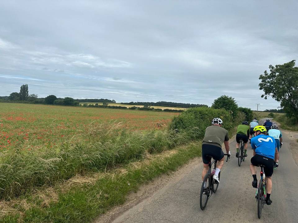
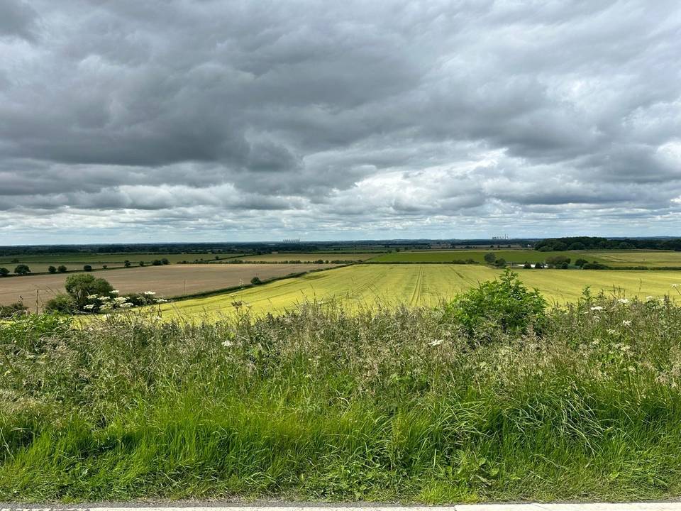
2 photographs from the road

Photo: Chris Morgan · CC BY-SA 2.0 · Wikimedia Commons · Photo: Brian Westlake · CC BY-SA 2.0 · Wikimedia Commons · Photo: Jo and Steve Turner · CC BY-SA 2.0 · Wikimedia Commons

About this route

Date ridden
Route line
Built from a GPS recording of the ride.
Elevation
Recalculated from the Copernicus GLO-90 terrain model every 50 m, not the device’s barometer.
Roads, surface, services
Measured along the line from OpenStreetMap extracts.
GPX
Generated from the route line: track points only, no timestamps or personal data.
Page added
Page last updated

See something wrong with this ride?

More climbing

More rides from Scothern