
Cyclists.com

Sudbrooke – Kirton in Lindsey

59 km road cycling loop107 m climbing2–3 hoursGPX

Scothern, England, United Kingdom · Road

A flat 59 km road cycling loop from Scothern, England through Dunholme, Spridlington and Normanby-by-Spital, with 107 m of climbing.
Route contributed by Richard Chapman · Created from a ride on Saturday 22nd June 2024

Download GPXMap

At a glance

Best for
Flat, steady riding
Distance
59.1 km
Loop
Elevation gain
107 m
2 m per km
Riding time
2–3 hours
moving time, estimated
Difficulty
Moderate
Bike
Road bike
from the mapped surface
Surface
Paved
99% paved · 1% unpaved
Traffic
Some main roads
26 km on main roads without a cycle lane · 5.9 km where the limit is 80 km/h or more
Food & water
Regular
12 cafés and restaurants · 3 shops · 2 petrol stations
Navigation
GPX download
free, no sign-in
Start and finish
Scothern

Map and elevation profile

On the road: Sudbrooke – Kirton in Lindsey, Scothern

Elevation profile

Total ascent
107 m
Distance
59 km
020406080m0 km204059 km68 m · highest, at 34.3 kmStartFinish · back at the start

Route description

  1. Scothern
  2. Dunholmekm 3
  3. Spridlingtonkm 9
  4. Normanby-by-Spitalkm 13
  5. Bishop Nortonkm 19
  6. Waddinghamkm 23
  7. Hemswellkm 35
  8. Ingham Cliffkm 43
  9. Brattlebykm 46
  10. Scothernkm 59

The route starts in Scothern and proceeds through Dunholme at 2.5 km, Welton at 3.8 km, and continues via several villages including Spridlington, Owmby-by-Spital, Glentham, and Bishop Norton. It reaches its highest elevation of 68 m near 33.8 km close to Willoughton and Hemswell. The route is a loop, returning to Scothern at 59.1 km.

Surface is 99% paved with minor gravel sections and the roads include 49% minor roads, 44% main roads, 5% quiet streets, and small portions of paths and major roads. Longest named road ridden is Middle Street for 18.6 km. There are 26 km of main roads without cycle lanes and 5.9 km on roads with 80 km/h or greater speed limits.

Food and drink options are available at several points: The Falconer restaurant at 4.4 km; pubs The Crown Inn at 15.7 km, Royal Oak Inn at 21.6 km, Windmill at 43.3 km; cafes like Uncle Henry's at 27.4 km and Starbucks at 51.2 km; and bar Butcher Nook at 35 km. Shops include a supermarket at 2.5 km and convenience stores at 15.6 and 51.3 km. Petrol stations appear close to 15.8 and 51.3 km. The longest stretch without any café, shop or water is 11.2 km between 4.4 and 15.6 km.

Highlights

  • Highest point at 68 m near Willoughton
  • Longest named road: Middle Street, 18.6 km
  • Fillingham Castle off-route at 40.5 km
  • Scampton Viewpoint near 49.5 km

Along the route

Measured from the route line, the Copernicus elevation model and OpenStreetMap.

Places passed

  1. Dunholme 2.5 km
  2. Welton 3.8 km
  3. Spridlington 8.7 km
  4. East Firsby 9.8 km
  5. Owmby-by-Spital 12.3 km
  6. Normanby-by-Spital 12.9 km
  7. Caenby 14.9 km
  8. Glentham 16 km
  9. Bishop Norton 19 km
  10. Atterby 19.5 km
  11. Snitterby 21.5 km
  12. Waddingham 23.1 km
  13. Grayingham 29.4 km
  14. Willoughton 33 km
  15. Hemswell 34.9 km
  16. Harpswell 35.8 km
  17. Glentworth 38.1 km
  18. Ingham Cliff 43.3 km
  19. Ingham 44.4 km
  20. Cammeringham 45.1 km
  21. Brattleby 46.3 km
  22. Aisthorpe 46.9 km
  23. Scampton 48.1 km

Traffic, surface and gradient

Measured from OpenStreetMap along the track and the elevation profile.

Expect stretches on main roads without a cycle lane (26 km in all) between quieter sections.

Roads
49% minor road · 44% main road · 5% quiet street · 1% path · 1% other roads and tracks
Main roads
26 km on main roads without a cycle lane — likely busier
Fast roads
5.9 km on roads with a limit of 80 km/h or more
Main roads used
Middle Street (19 km), Hackthorn Road (4 km), Bishop Norton Road (4 km), Horncastle Lane (4 km)
Surface
Paved: 99% of the route is mapped as paved, 1% as unpaved.
Gradient
3% climbing · 2% descending · 95% flat

Food, water and services

Within a few hundred metres of the track, from OpenStreetMap. Opening hours change — treat this as where to look, not a promise.

No stretch is longer than 15 km without a café, shop or water. Along the route: 12 cafés and restaurants, 3 shops and 2 petrol stations.
Food, water and shops in ride order

  1. 2.5 kmLincolnshire Co-op · supermarket · 70 m off route
  2. 3.8 kmLincolnshire Co-op Pharmacy · pharmacy · 490 m off route
  3. 4.4 kmThe Falconer · restaurant · 60 m off route
  4. 15.6 kmGlentham Village Store · convenience store · on the route
  5. 15.7 kmThe Crown Inn · pub · on the route
  6. 15.8 kmPetrol station · 250 m off route
  7. 21.6 kmRoyal Oak Inn · pub · 60 m off route
  8. 27.4 kmUncle Henry's · café · on the route
  9. 35 kmButcher Nook · bar · 260 m off route
  10. 43.3 kmWindmill · pub · 80 m off route
  11. 51.2 kmStarbucks · café · 140 m off route
  12. 51.3 kmSpar · convenience store · 90 m off route
  13. 51.3 kmEG On the Move · petrol station · 80 m off route
  14. 58.2 kmBottle & Glass · pub · on the route

Worth a stop

  • 40.5 kmFillingham Castle (castle)
  • 49.5 kmScampton Viewpoint (viewpoint)

Start and access

Starts and finishes at Scothern. Mapped within a short walk of the start, from OpenStreetMap.

At the start and finish

Food and coffee
Bottle & Glass (130 m)

Know before you go

  • 26 km on main roads without a cycle lane
  • 5.9 km on roads with 80 km/h or more speed limit
  • Longest no café/shop/water stretch 11.2 km from 4.4 to 15.6 km

Routes are for inspiration. Roads, surfaces and conditions change — check locally and ride within your limits.

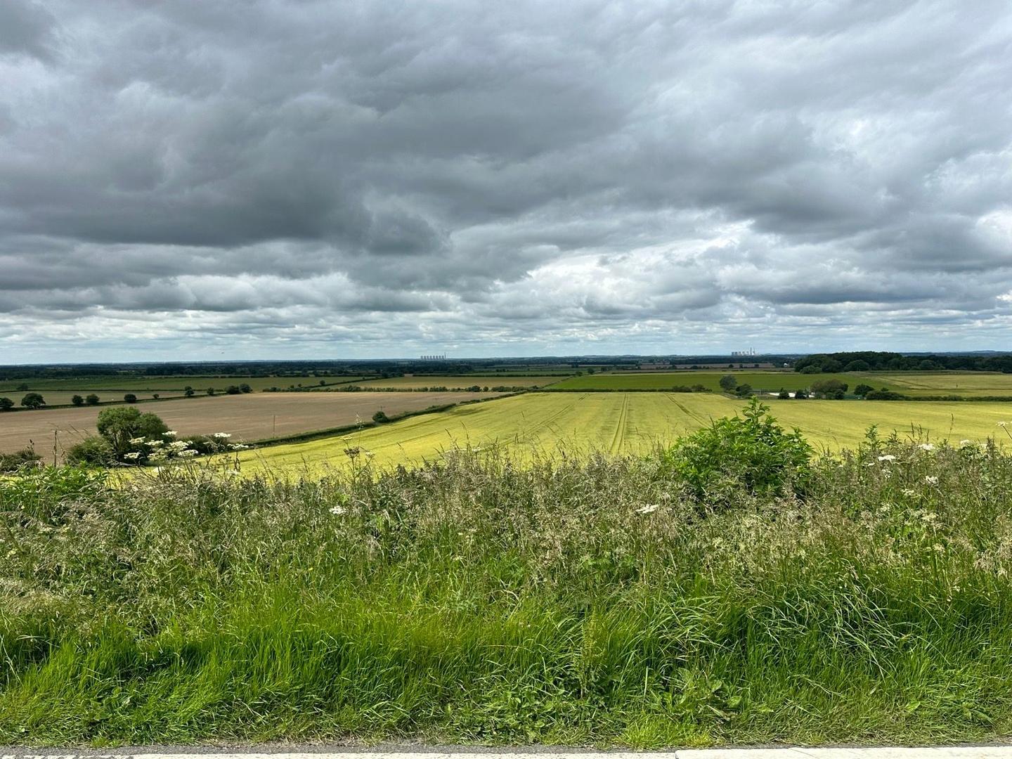
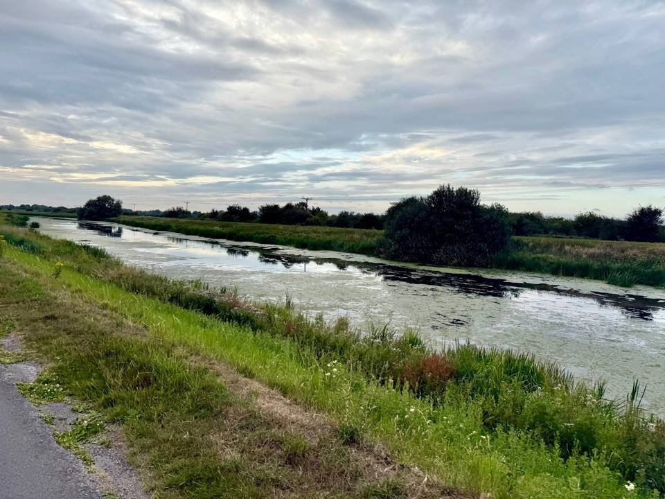
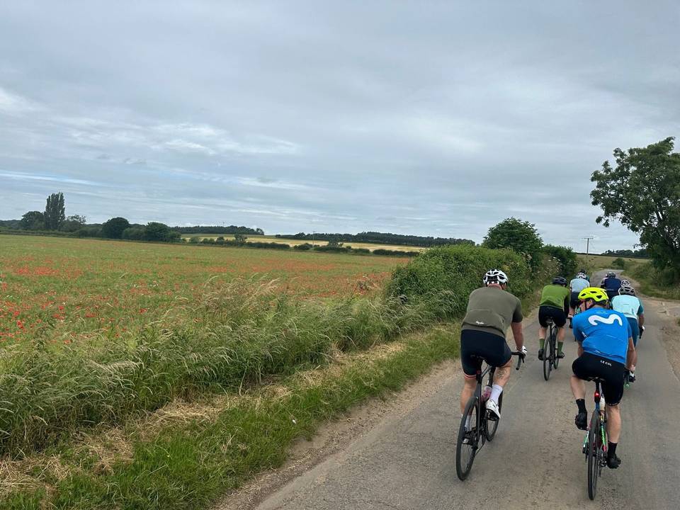
3 photographs from the road

About this route

Date ridden
Route line
Built from a GPS recording of the ride.
Elevation
Recalculated from the Copernicus GLO-90 terrain model every 50 m, not the device’s barometer.
Roads, surface, services
Measured along the line from OpenStreetMap extracts.
GPX
Generated from the route line: track points only, no timestamps or personal data.
Page added
Page last updated

See something wrong with this ride?

Similar length from Scothern

More climbing