
Cyclists.com

Skellingthorpe – Navenby

47 km road cycling loop79 m climbing1½–2½ hoursGPX

Skellingthorpe, England, United Kingdom · Road

A flat 47 km road cycling loop from Skellingthorpe, England through Doddington, Eagle Moor and Harby, with 79 m of climbing.
Route contributed by Richard Chapman · Created from a ride on Friday 11th July 2025

Download GPXMap

At a glance

Best for
Flat, steady riding
Distance
46.5 km
Loop
Elevation gain
79 m
2 m per km
Riding time
1½–2½ hours
moving time, estimated
Difficulty
Easy
Bike
Road bike
from the mapped surface
Surface
Paved
97% paved · 0% unpaved · 2% no data
Traffic
Mostly minor roads
6.6 km where the limit is 80 km/h or more · 2.8 km on cycle paths or lanes
Food & water
Regular
26 cafés and restaurants · 7 shops · 1 petrol station · 1 public toilet · 5 bike shops
Navigation
GPX download
free, no sign-in
Start and finish
Skellingthorpe

Map and elevation profile

On the road: Skellingthorpe – Navenby, Skellingthorpe

Elevation profile

Total ascent
79 m
Distance
47 km
02040m0 km1020304047 km36 m · highest, at 3.8 kmStartFinish · back at the start

Route description

  1. Skellingthorpe
  2. Doddingtonkm 5
  3. Eagle Moorkm 8
  4. Harbykm 12
  5. Eaglekm 19
  6. Haddingtonkm 25
  7. Aubournkm 26
  8. Bassinghamkm 33
  9. North Hykehamkm 42
  10. Skellingthorpekm 47

Starting at Skellingthorpe, the route heads to Doddington at 5.3 km, then passes Eagle Moor, Swinethorpe, Harby, and Wigsley. The highest point is 36 m at 3.8 km. The terrain is mostly flat, with 93% flat sections and minimal climbing. The profile includes a 1.2 km descent starting near 9 km.

The ride covers 46.5 km on predominantly paved surfaces (97%) and mostly minor roads (85%). Other road types include 2.8 km of cycle paths and 1.8 km of quiet streets. Main roads are minimal at 0.9 km with 6.6 km on roads with speed limits of 80 km/h or more. Long stretches without shops, cafés, or water occur between 18.7 km and 31.4 km.

Along the route, several places offer refreshment options: cafés near the start at 0.8 km, pubs at 11.8 km, 18.7 km, and 33.2 km, and cafés close to 42.6 km. There are two supermarkets near 33.6 and 41.9 km and bike shops at 0.2 km and 42.6 km. A railway station at Hykeham (43.4 km) provides a bail-out point.

Highlights

  • Highest point 36 m at 3.8 km
  • Pubs at Harby and Eagle
  • Doddington Hall near 5.3 km
  • Cycle path sections total 2.8 km

Along the route

Measured from the route line, the Copernicus elevation model and OpenStreetMap.

Places passed

  1. Doddington 5.3 km
  2. Eagle Moor 8.3 km
  3. Swinethorpe 10.8 km
  4. Harby 11.8 km
  5. Wigsley 13.7 km
  6. Eagle 18.7 km
  7. Thorpe on the Hill 22.5 km
  8. Haddington 25.4 km
  9. Aubourn 26.1 km
  10. Carlton le Moorland 31.2 km
  11. Bassingham 33.2 km
  12. South Hykeham 40.1 km
  13. North Hykeham 42.1 km

Traffic, surface and gradient

Measured from OpenStreetMap along the track and the elevation profile.

Mostly minor roads and streets on the map.

Roads
85% minor road · 6% cycle path · 4% quiet street · 2% path · 3% other roads and tracks
Fast roads
6.6 km on roads with a limit of 80 km/h or more
Cycle paths
2.8 km on cycle paths or roads with a cycle lane
Main roads used
Whisby Road (5 km), Bassingham Road (4 km), Wigsley Road (3 km)
Surface
Paved: 97% of the route is mapped as paved and 2% has no surface data.
Gradient
3% climbing · 4% descending · 93% flat

Food, water and services

Within a few hundred metres of the track, from OpenStreetMap. Opening hours change — treat this as where to look, not a promise.

No stretch is longer than 15 km without a café, shop or water. Along the route: 26 cafés and restaurants, 7 shops, 1 petrol station, 1 public toilet and 5 bike shops.

Food, water and shops in ride order

  1. 0.2 kmKingsley Road · bike rental · on the route
  2. 0.8 kmCosta Drive Thru · café · 100 m off route
  3. 5.3 kmCafé · 110 m off route
  4. 5.3 kmToilets · 80 m off route
  5. 11.8 kmBottle & Glass · pub · 190 m off route
  6. 18.7 kmThe Struggler · pub · 40 m off route
  7. 33.2 kmBugle Horn · pub · on the route
  8. 33.6 kmSpar (Hickson's of Bassingham) · supermarket · 100 m off route
  9. 41.9 kmLincolnshire Co-operative · supermarket · 60 m off route
  10. 42.6 kmSimply Divine Coffee House · café · 40 m off route
  11. 42.6 kmArrow Cycles · bike shop · 60 m off route
  12. 42.6 kmCrossroads Pharmacy - Lincolnshire Co-operative · pharmacy · on the route
  13. 45.8 kmBP · petrol station · 200 m off route

Need to bail out?

  • 43.4 kmHykeham (station), on the route

Whether bikes are carried depends on the service — check before relying on it.

Worth a stop

  • 5.3 kmDoddington Hall (attraction)

Start and access

Starts and finishes at Skellingthorpe. Mapped within a short walk of the start, from OpenStreetMap.

At the start and finish

Bikes and repair
Kingsley Road (220 m)
Food and coffee
Damons (140 m), Café Repleat (670 m), Costa Drive Thru (870 m)

Know before you go

  • 12.7 km longest stretch without café, shop or water from 18.7 to 31.4 km
  • 6.6 km on roads with 80 km/h speed limits
  • 0.9 km on main roads without cycle lane

Routes are for inspiration. Roads, surfaces and conditions change — check locally and ride within your limits.

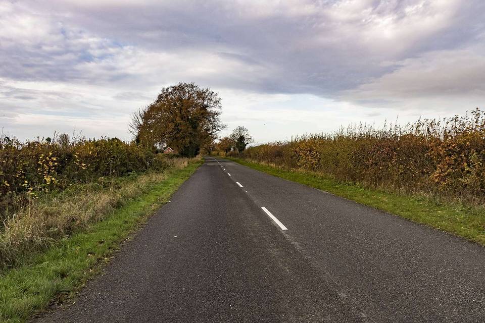
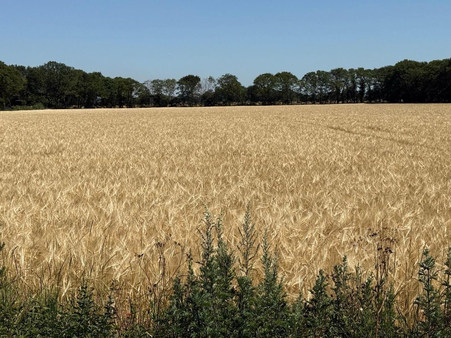
2 photographs from the road

About this route

Date ridden
Route line
Built from a GPS recording of the ride.
Elevation
Recalculated from the Copernicus GLO-90 terrain model every 50 m, not the device’s barometer.
Roads, surface, services
Measured along the line from OpenStreetMap extracts.
GPX
Generated from the route line: track points only, no timestamps or personal data.
Page added
Page last updated

See something wrong with this ride?

More rides from Skellingthorpe