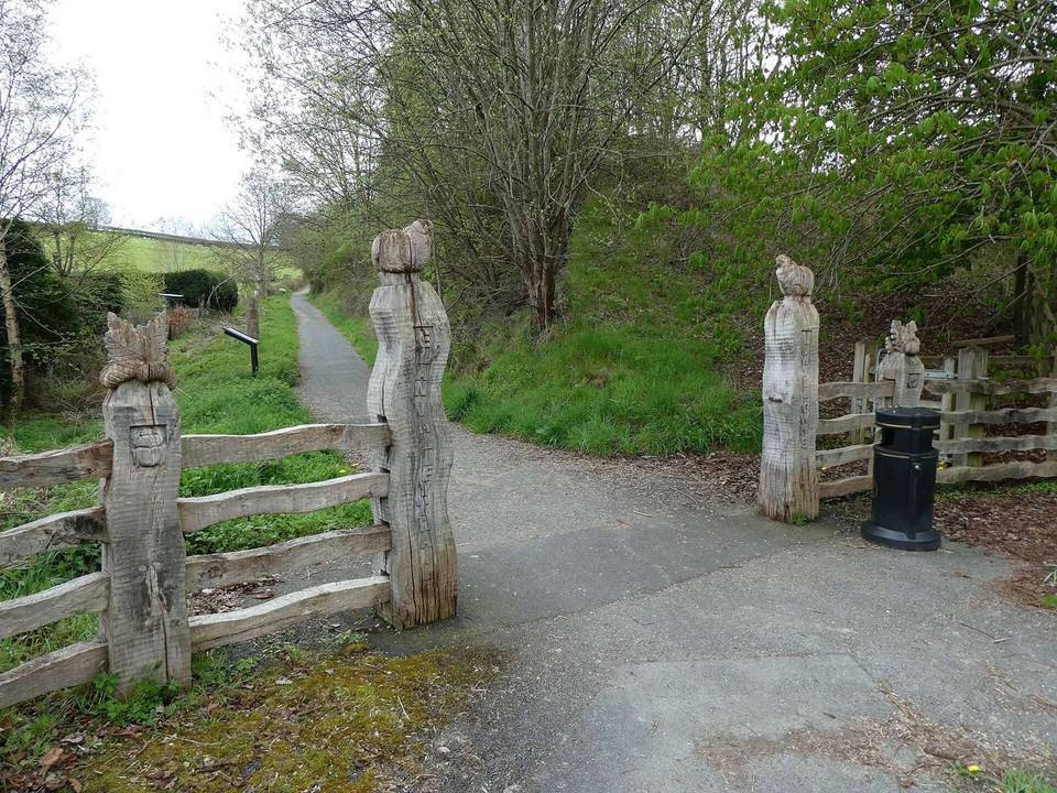
Road · United Kingdom
Stage 2 of 2 · Trans Cambrian Way← Stage 1
A mountainous 106 km gravel route from Elan Village, Powys to Eglwys Fach through Ysbyty Ystwyth, Pont-rhyd-y-groes and Cwmystwyth, with 1,914 m of climbing. There is a 63 km stretch without a café, shop or water (km 37–100). Mixed surface: 42% is mapped as paved and 57% as gravel or unpaved.
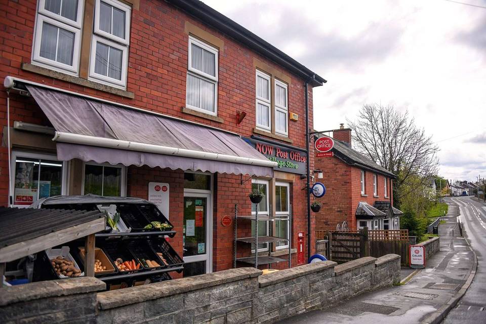
The route starts in Elan Village at 0 km, climbing steadily in the first 2.7 km with gradients up to 13.8%, reaching 402 m. Early climbing continues with several moderate ascents at up to 7 km in length. The terrain fluctuates with climbs and descents including a notable 5.1 km descent starting near km 33. For surface, the route is 42% paved and 57% gravel or unpaved, with minor roads covering 38%, tracks 37%, paths 20%, and quiet streets 3%. There is 4.2 km on roads with speed limits of 80 km/h or more. Water springs are near km 27 and 37, although these are off-route by about 120-240 m and the route lacks cafés or shops for 63 km after km 37. Toilets are located near km 10.7 and 65.6. The ride passes through or near the places of Ysbyty Ystwyth (36.1 km), Pont-rhyd-y-groes (37.3 km), Cwmystwyth (42.9 km), and Rhyd-y-benwch (65.6 km). The highest point is reached around km 51.2 at 527 m elevation. The route ends near a railway station at Dovey Junction (100 km), accessible for bailout. Peaks near the road include Carn Gafallt early on and Y Glog near km 43.4.
| Climb | Starts at | On this ride | Top on this ride |
|---|---|---|---|
| Unnamed climb | 0 km | 2.7 km · 194 m · 7.1 % · max 13.8 % | 402 m |
| Unnamed climb | 10.6 km | 1.8 km · 54 m · 3.1 % · max 6.6 % | 372 m |
| Unnamed climb | 22.1 km | 3 km · 66 m · 2.2 % · max 4.3 % | 444 m |
| Unnamed climb | 28.4 km | 2.5 km · 82 m · 3.3 % · max 6.8 % | 463 m |
| Unnamed climb | 37.6 km | 1.8 km · 42 m · 2.4 % · max 8 % | 315 m |
| Unnamed climb | 46.1 km | 2.6 km · 172 m · 6.7 % · max 11.8 % | 433 m |
| Unnamed climb | 49.2 km | 2 km · 109 m · 5.5 % · max 11.5 % | 527 m |
| Unnamed climb | 59 km | 4.4 km · 120 m · 2.7 % · max 6 % | 442 m |
| Unnamed climb | 71.8 km | 7.1 km · 190 m · 2.7 % · max 8.7 % | 493 m |
| Unnamed climb | 86.9 km | 1.8 km · 73 m · 4.1 % · max 8.3 % | 209 m |
| Unnamed climb | 89.5 km | 2.8 km · 131 m · 4.8 % · max 9.8 % | 300 m |
Mostly minor roads and streets on the map.
The longest stretch without a café, shop or water is 63 km, from km 37 to 100. Along the route: 2 water points and 2 public toilets.