Cyclists.com

Llansantffraed-Cwmdeuddwr to Llanelwedd

Llansantffraed-Cwmdeuddwr, Powys, United KingdomRoad

Signed route The waymarked Lôn Las Cymru (Central) (National Cycle Network 8), traced from OpenStreetMap and measured against the terrain model; no member has recorded it yet. Stage 2 of 2 of the Lôn Las Cymru (Central). Ridden it? Add your recording and photos.

30 km
Distance
298 m
Elevation gain
Easy
Difficulty
Paved
Surface
Download GPXMap

Elevation profile

Total ascent
298 m
Distance
30 km
050100150200250300m0 km102030 km249 m · highest, at 13.4 kmStartFinish

Route overview

Suitable for riders comfortable with moderate climbing over a 30 km distance.

Stage 2 of 2 of the Lôn Las Cymru (Central): 29.9 km from Llansantffraed-Cwmdeuddwr to Llanelwedd with 298 m of climbing, on the signed route.

Starting at Llansantffraed-Cwmdeuddwr, the route heads through Llanwrthwl at 6.2 km and then Newbridge on Wye at 16.3 km. The first half mainly consists of climbing, as 66% of the elevation gain occurs before halfway. There are three climbs: first at 8.1 km with 59 m gain averaging 5.6%, next at 11.2 km with 77 m gain averaging 3.7%, and a final one at 20.9 km with 41 m gain averaging 2%. The highest point is 248 m at 13.3 km. From there, it descends to near 124 m at 27.7 km. The route surface is 90% paved with 10% gravel or unpaved sections. It covers 19.4 km on minor roads, 4.4 km on cycle paths, 2.8 km on tracks, and smaller distances on major roads, quiet streets, and main roads. There are 1.8 km on main roads lacking cycle lanes. Facilities along the way include pubs, cafés, shops, petrol stations, bike shops, and toilets concentrated near towns, but there is an 11.4 km stretch between 16.4 km and 27.8 km without cafes, shops, or water. A bailout point is at Builth Road station at 25.4 km.

Highlights

  • Climb at 8.1 km averaging 5.6%
  • Passes through Llanwrthwl and Newbridge on Wye
  • Longest descent of 2.1 km starting at 24.3 km
  • Builth Wells near the end of route

Along the route

Measured from the recorded track and OpenStreetMap.

Places passed

  1. Llanwrthwl 6.2 km
  2. Newbridge on Wye 16.3 km
  3. Builth Wells 27.6 km

Climbs

ClimbStarts atLengthGainAverageMaxTop
8.1 km1.1 km59 m5.6 %8.6 %247 m
11.2 km2.1 km77 m3.7 %6.5 %248 m
20.9 km2.1 km41 m2 %3.5 %200 m

High point 248 m at 13.3 km; low point 124 m.

What this ride is like

Measured from OpenStreetMap along the track and the elevation profile.

Roads
65% minor road · 15% cycle path · 9% track · 4% major road
Main roads
1.8 km on main roads without a cycle lane — likely busier
Cycle paths
4.4 km on cycle paths or roads with a cycle lane
Surface
Paved throughout
Gradient
26% climbing · 29% descending · 45% flat
Steep sections
1.5 km over 5% · 0.4 km over 8% · steepest 500 m averages 17.7% at 0 km
Longest descent
2.1 km from 24.3 km, dropping 78 m

Along the way

Within a few hundred metres of the track, from OpenStreetMap. Opening hours change — treat this as where to look, not a promise.

Food, water and shops

  1. 0 kmTriangle Inn · pub · 140 m off route
  2. 0 kmToilets · 160 m off route
  3. 0 kmNeil's Wheels · bike shop · 220 m off route
  4. 0 kmRowlands Pharmacy · pharmacy · 450 m off route
  5. 6.5 kmGreggs · fast food · 160 m off route
  6. 6.5 kmSpar · convenience store · 170 m off route
  7. 6.5 kmPetrol station · 170 m off route
  8. 16.2 kmThe Golden Lion · pub · on the route
  9. 16.2 kmConvenience store · on the route
  10. 16.4 kmToilets · 80 m off route
  11. 16.4 kmPace · petrol station · 210 m off route
  12. 26.8 kmRepair stand · on the route
  13. 27.7 kmToilets · on the route
  14. 27.8 kmCwtch Cafe · café · 50 m off route
  15. 27.8 kmBoots · pharmacy · 60 m off route
  16. 28.1 kmTuffins · convenience store · 70 m off route
  17. 28.1 kmSmithfield Garage · petrol station · 60 m off route

Need to bail out?

  • 25.4 kmBuilth Road (station), 990 m off route

Whether bikes are carried depends on the service — check before relying on it.

Worth a stop

  • 0 kmRhayader Castle (castle)
  • 27.8 kmBuilth Castle (ruins)

At the start

  • Triangle Inn · pub · 140 m
  • Neil's Wheels · bike shop · 220 m
  • The Lost ARC · café · 280 m
  • Clive Powell Mountain Bikes · bike shop · 380 m
  • The Horseshoe · pub · 350 m

Stay after this ride

  • Lion Hotel · hotel · 1.5 km from the finish
  • White Horse · hotel · 1.6 km from the finish
  • Bronwye Guest House · guest house · 1.8 km from the finish
  • Greyhound · hotel · 1.9 km from the finish

Practical information

Surface
Paved
Route shape
Point to point
Riding time
2 h 08 min
Best months
Jun to Sep — daily highs of 16–19 °C in those months

Know before you go

  • 11.4 km without cafe, shop or water between 16.4 km and 27.8 km
  • 1.8 km on main roads without cycle lanes
  • 10% gravel or unpaved surface

Routes are for inspiration. Roads, surfaces and conditions change — check locally and ride within your limits.

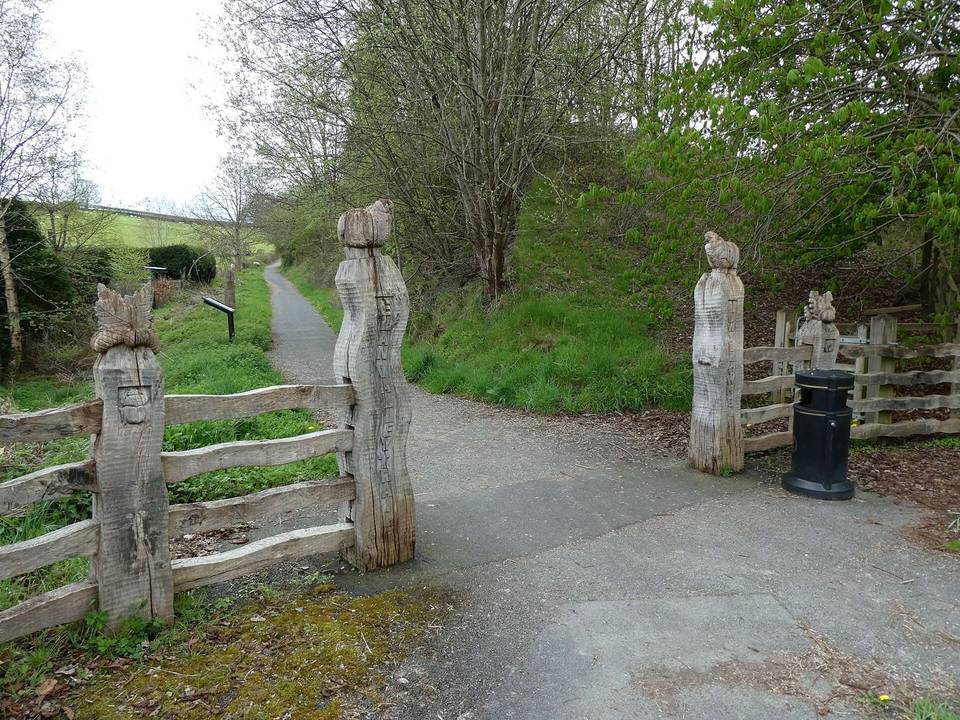
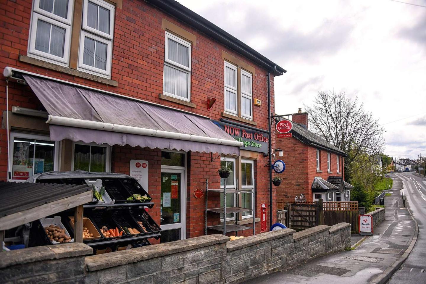
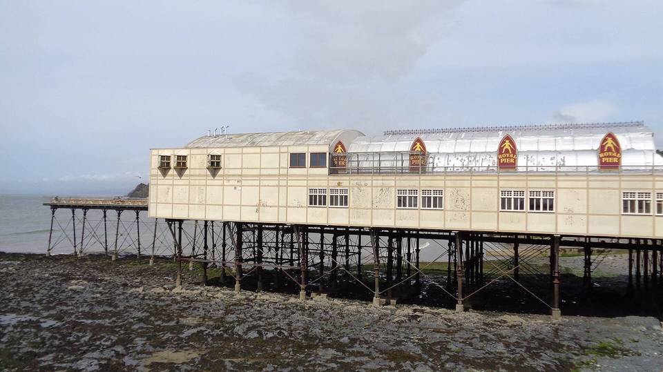
2 photographs from the road

Photo: Lewis Clarke · CC BY-SA 2.0 · Wikimedia Commons · Photo: David Smith · CC BY-SA 2.0 · Wikimedia Commons · Photo: Eirian Evans · CC BY-SA 2.0 · Wikimedia Commons

Stage of

More rides from Llansantffraed-Cwmdeuddwr