Cyclists.com

Llansantffraed-Cwmdeuddwr to Abergavenny

Llansantffraed-Cwmdeuddwr, Powys, United KingdomRoad

Signed route The waymarked EuroVelo 2 from Llanddwywe (EuroVelo EV2), traced from OpenStreetMap and measured against the terrain model; no member has recorded it yet. Stage 2 of 3 of the EuroVelo 2 from Llanddwywe. Ridden it? Add your recording and photos.

98 km
Distance
956 m
Elevation gain
Hard
Difficulty
Paved
Surface
Download GPXMap

Elevation profile

Total ascent
956 m
Distance
98 km
0200400600m0 km2040608097 km541 m · highest, at 70.3 kmStartFinish

Route overview

Riders fit for nearly 100 km with 956 m climbing including some sustained gradients.

Stage 2 of 3 of the EuroVelo 2 from Llanddwywe: 97.5 km from Llansantffraed-Cwmdeuddwr to Abergavenny with 956 m of climbing, on the signed route.

This 97.5 km route begins at Llansantffraed-Cwmdeuddwr and heads towards Llanwrthwl at 6 km, then passes through Newbridge on Wye at 15.8 km, Builth Wells at 26.8 km, Hay on Wye at 60.3 km, and Llanthony at 78.3 km before finishing at Abergavenny at 95.2 km. The ride includes several climbs: two early climbs beginning at 7.3 km and 10.9 km, each around 1-1.6 km long with average gradients between 3.4% and 4.4%. A moderate climb of 2.7 km starts at 51.4 km, and the longest climb of 8.7 km with an average gradient of 5.1% and max of 12.7% begins at 59.9 km, reaching the highest point of 541 m near 68.6 km. The highest and lowest elevations on the route are 541 m and 53 m respectively. The profile includes about 20% climbing, 26% descending, and 54% flat sections, with 5 km of sustained gradients over 5%, including 1.1 km over 8% and 0.8 km over 10%.

Highlights

  • Climb to 541 m near 68.6 km
  • Passes through Builth Wells at 26.8 km
  • Highest peak nearby: Hay Bluff at 677 m
  • Longest climb 8.7 km at 5.1% gradient

Along the route

Measured from the recorded track and OpenStreetMap.

Places passed

  1. Llanwrthwl 6 km
  2. Newbridge on Wye 15.8 km
  3. Builth Wells 26.8 km
  4. Llanelwedd 27.9 km
  5. Llais-yr-afon 29.9 km
  6. Llanfaredd 30.9 km
  7. Aberedw 34.5 km
  8. Pontsioni 34.9 km
  9. Erwood 39.7 km
  10. Llanstephan 42.7 km
  11. Boughrood 45 km
  12. Llyswen 45.9 km
  13. Cwmbach 50.4 km
  14. Glasbury 51.4 km
  15. Ffordd-las 55.1 km
  16. Llanigon 56.8 km
  17. Hay on Wye 60.3 km
  18. Capel-y-ffin 72.8 km
  19. Llanthony 78.3 km
  20. Stanton 85.8 km
  21. Pantygelli 90 km
  22. Mardy 92.2 km
  23. Abergavenny 95.2 km

Climbs

ClimbStarts atLengthGainAverageMaxTop
7.3 km1.2 km42 m3.4 %9.5 %227 m
10.9 km1.6 km70 m4.4 %6.5 %244 m
51.4 km2.7 km72 m2.7 %3.6 %157 m
59.9 km8.7 km445 m5.1 %12.7 %541 m

High point 541 m at 68.6 km; low point 53 m. Passes beneath Allt y Fran, Paddocks Hill, Hay Bluff.

What this ride is like

Measured from OpenStreetMap along the track and the elevation profile.

Roads
68% minor road · 17% main road · 5% cycle path · 4% track
Main roads
16.5 km on main roads without a cycle lane — likely busier
Fast roads
25.6 km on roads with a limit of 80 km/h or more
Cycle paths
4.7 km on cycle paths or roads with a cycle lane
Main roads used
B4567 (9 km), B4350 (6 km), Old Hereford Road (5 km)
Surface
Paved throughout
Gradient
20% climbing · 26% descending · 54% flat
Steep sections
5 km over 5% · 1.1 km over 8% · 0.8 km over 10% · steepest 500 m averages 17.6% at 0 km
Longest descent
8.3 km from 70.3 km, dropping 289 m

Along the way

Within a few hundred metres of the track, from OpenStreetMap. Opening hours change — treat this as where to look, not a promise.

Longest stretch without a café, shop or water: 18 km, from 61 km to 78 km.

Food, water and shops

  1. 0 kmTriangle Inn · pub · 140 m off route
  2. 0 kmNeil's Wheels · bike shop · 220 m off route
  3. 6.3 kmSpar · convenience store · 170 m off route
  4. 15.7 kmThe Golden Lion · pub · on the route
  5. 15.9 kmToilets · 80 m off route
  6. 26.1 kmRepair stand · 40 m off route
  7. 27.1 kmToilets · 50 m off route
  8. 27.3 kmAsda Express · convenience store · 80 m off route
  9. 38.5 kmErwood Station Craft Centre Cafe · café · on the route
  10. 51.6 kmPublic Toilets · toilets · on the route
  11. 51.8 kmGulf · petrol station · 50 m off route
  12. 60 kmSpar · convenience store · 220 m off route
  13. 60.5 kmDrover Cycles · bike shop · 60 m off route
  14. 78 kmHalf Moon Inn · pub · 70 m off route
  15. 78.5 kmDrinking Water · drinking water · 200 m off route
  16. 90.3 kmThe Crown · pub · 30 m off route
  17. 94.2 kmH. Shackleton · pharmacy · 60 m off route
  18. 95 kmOasis Sandwich Bar · café · 30 m off route

Need to bail out?

  • 24.9 kmBuilth Road (station), 1000 m off route
  • 95 kmAbergavenny (station), 420 m off route

Whether bikes are carried depends on the service — check before relying on it.

Worth a stop

  • 0 kmRhayader Castle (castle)
  • 27.1 kmBuilth Castle (ruins)
  • 56.9 kmLlanthomas Castle Mound (castle)
  • 60.1 kmHay Castle (castle)
  • 66.3 kmPen-y-Beacon Stone Circle (archaeological site)
  • 72.8 kmThe Monastery Church, Capel-y-Ffin (ruins)

At the start

  • Triangle Inn · pub · 140 m
  • Neil's Wheels · bike shop · 220 m
  • The Lost ARC · café · 290 m
  • Clive Powell Mountain Bikes · bike shop · 380 m
  • The Horseshoe · pub · 350 m

At the finish

  • Oasis Sandwich Bar · café · 190 m
  • Tithe Barn Café · café · 180 m
  • Angel Bakery · bakery · 240 m
  • Tŷ Fferm · supermarket · 210 m
  • Aldi · supermarket · 260 m

Stay after this ride

  • Abergavenny Hotel · hotel · 240 m from the finish
  • Abergavenny B&B · guest house · 220 m from the finish
  • Pegasus Court · apartment · 260 m from the finish
  • Premier Inn Abergavenny hotel · hotel · 1.1 km from the finish

Practical information

Surface
Paved
Route shape
Point to point
Riding time
6 h 58 min
Best months
Jun to Sep — daily highs of 16–19 °C in those months

Know before you go

  • 17.5 km without café, shop or water from km 60.5 to 78
  • 16.5 km on main roads without cycle lanes
  • 25.6 km on roads with speed limits of 80 km/h or more
  • 5% of route on gravel or unpaved surfaces

Routes are for inspiration. Roads, surfaces and conditions change — check locally and ride within your limits.

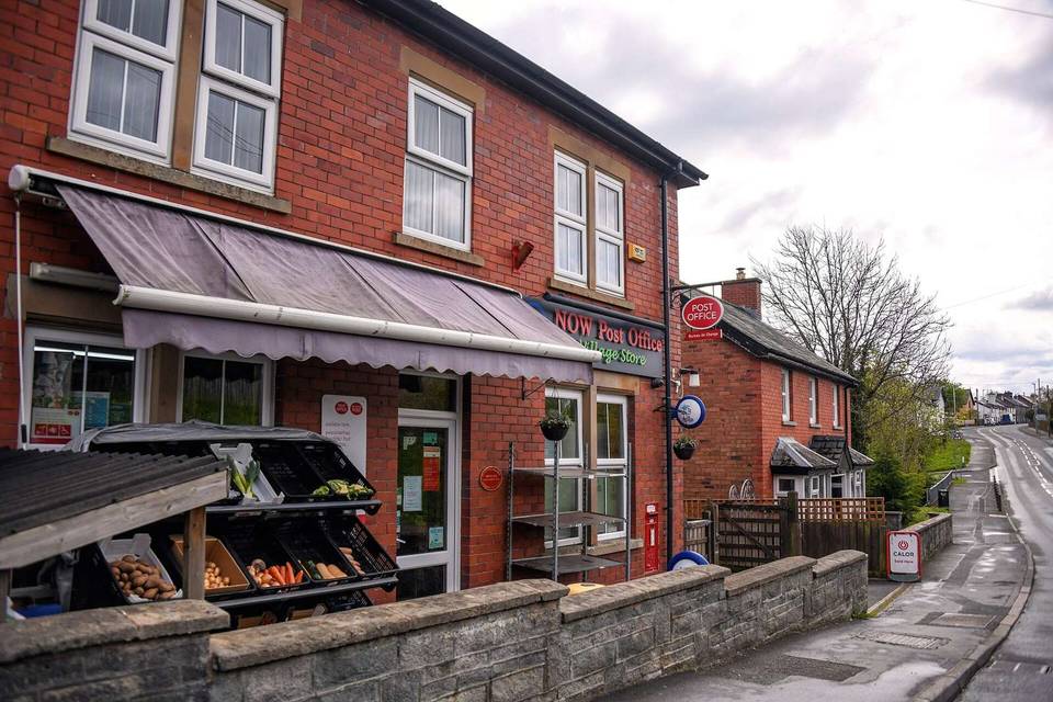
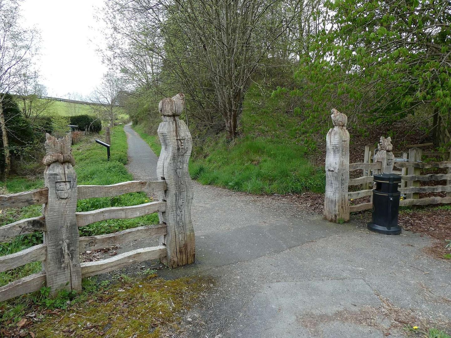
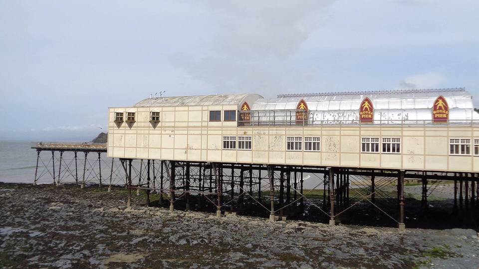
5 photographs from the road

Photo: John H Darch · CC BY-SA 2.0 · Wikimedia Commons · Photo: David Smith · CC BY-SA 2.0 · Wikimedia Commons · Photo: Fabian Musto · CC BY-SA 2.0 · Wikimedia Commons · Photo: Ethan Doyle White · CC BY-SA 4.0 · Wikimedia Commons · Photo: Peter Evans · CC BY-SA 2.0 · Wikimedia Commons · Photo: David Medcalf · CC BY-SA 2.0 · Wikimedia Commons

Stage of

More rides from Llansantffraed-Cwmdeuddwr