Cyclists.com

Stage 1 of 2 · Trans Cambrian WayStage 2 →

Knucklas to Elan Village

54 km gravel route952 m climbing4 h 29 minGPX

Knucklas, Powys, United Kingdom · Gravel

A mountainous 54 km gravel route from Knucklas, Powys to Elan Village, with 952 m of climbing.

Signed route The waymarked Trans Cambrian Way, traced from OpenStreetMap and measured against the terrain model; no member has recorded it yet. Stage 1 of 2 of the Trans Cambrian Way. Ridden it? Add your recording and photos.

Download GPXMap

At a glance

Best for
Short, climbing-heavy rides
Distance
53.8 km
Point to point
Elevation gain
952 m
18 m per km
Riding time
4 h 29 min
moving time, estimated
Difficulty
Moderate
Bike
Gravel bike
Surface
Mixed surface
Best months
Jun to Sep
Knucklas climate, 10 years
Navigation
GPX download
free, no sign-in
Start → finish
Knucklas → Elan Village

Map and elevation profile

Elevation profile

Total ascent
952 m
Distance
54 km
0100200300400500600m0 km204054 km486 m · highest, at 30.9 kmStartFinish

Route description

  1. Knucklas
  2. Elan Villagekm 54

Stage 1 of 2 of the Trans Cambrian Way: 53.8 km from Knucklas to Elan Village with 952 m of climbing, on the signed route.
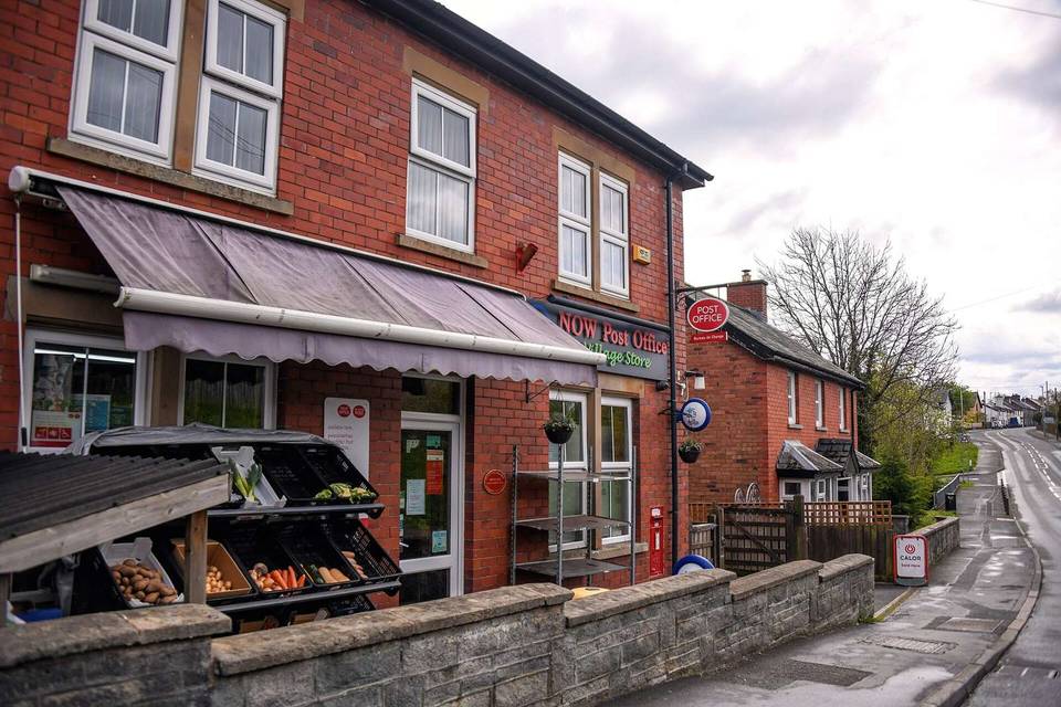
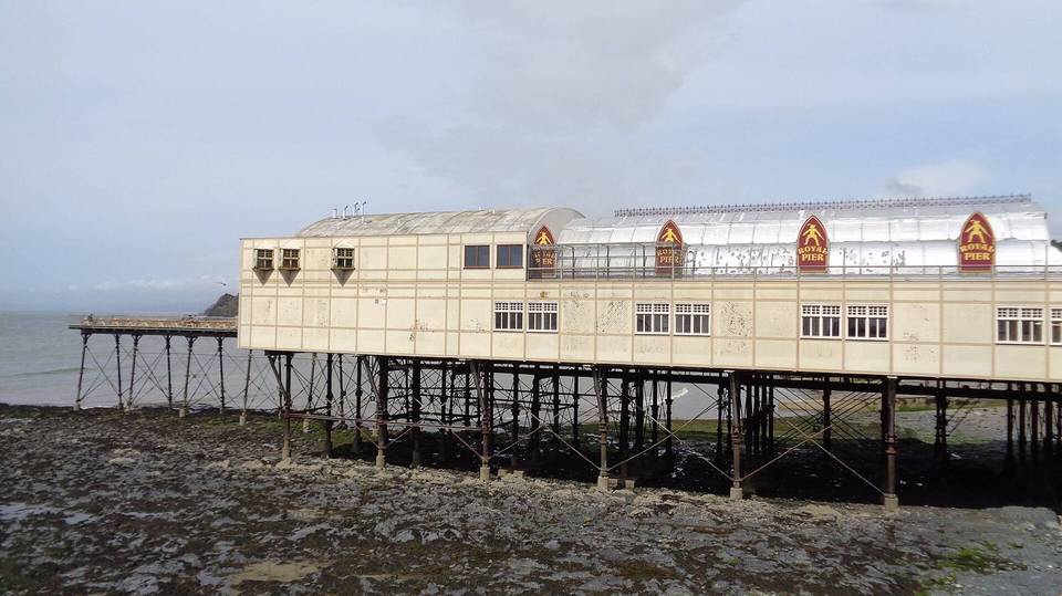
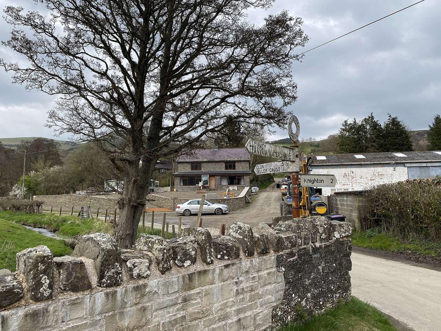
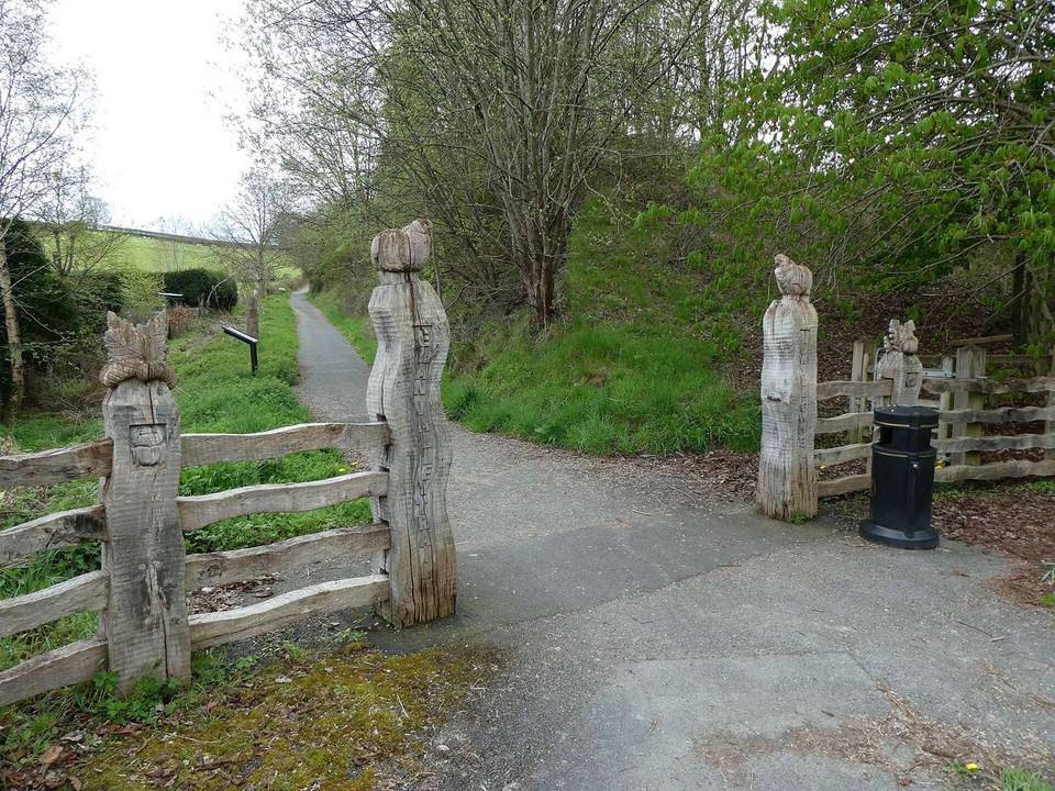
2 photographs from the road

Photo: Alan Hughes · CC BY-SA 2.0 · Wikimedia Commons · Photo: David Smith · CC BY-SA 2.0 · Wikimedia Commons · Photo: Dave Kelly · CC BY-SA 2.0 · Wikimedia Commons

Stage of

About this route

Route line
Traced from the waymarked route’s relation in OpenStreetMap.
Elevation
Recalculated from the Copernicus GLO-90 terrain model every 50 m, not the device’s barometer.
Best months
Ten years of ERA5 weather for Knucklas (Open-Meteo).
GPX
Generated from the route line: track points only, no timestamps or personal data.
Page added
Page last updated

See something wrong with this ride?

Rides starting nearby