Welshpool to Rhayader
- 72 km
- 743 m
- Hard
- Mixed
Elevation profile
- 743 m
- 72 km
Route overview
Suitable for cyclists ready for a moderately long ride with some climbing and mixed surfaces.
Stage 1 of 2 of the National Cycle Route 81 (Wales section): 71.7 km from Welshpool to Rhayader with 743 m of climbing, on the signed route.
The route starts in Welshpool at 78 m altitude and heads through Bronybuckley, Belan, Berriew, and Abermule, passing several places to stop for refreshments including pubs and cafés within the first 35 km. The surface is 74% paved and 25% gravel or unpaved, with roads consisting mainly of minor roads (59%), cycle paths (30%), and some quiet streets and paths. From Newtown (around 22.5 km) to Caersws (34.2 km), there are supermarkets, cafés, and bike shops for supplies or bailouts by train stations at Welshpool, Newtown, and Caersws.
Highlights
- Climbs reaching up to 338 m
- Dol-Llys Fach peak near the road at 43.7 km
- Pen Y Banc peak at 310 m near 48 km
- Longest stretch without café/shop for 16.3 km from 54.1 km to 70.4 km
Along the route
Places passed
Climbs
| Climb | Starts at | Length | Gain | Average | Max | Top |
|---|---|---|---|---|---|---|
| — | 25.5 km | 4.3 km | 196 m | 4.6 % | 7.5 % | 314 m |
| — | 36 km | 1.9 km | 74 m | 3.8 % | 7.2 % | 198 m |
| — | 38.6 km | 2.5 km | 93 m | 3.8 % | 5.5 % | 246 m |
| — | 42 km | 1.4 km | 58 m | 4.2 % | 7.6 % | 246 m |
| — | 47.8 km | 4.9 km | 158 m | 3.2 % | 8.8 % | 338 m |
What this ride is like
- Roads
- 59% minor road · 30% cycle path · 3% quiet street · 3% path
- Main roads
- 2.4 km on main roads without a cycle lane — likely busier
- Fast roads
- 3.3 km on roads with a limit of 80 km/h or more
- Cycle paths
- 21.3 km on cycle paths or roads with a cycle lane
- Surface
- 74% paved · 25% gravel or unpaved
- Gradient
- 22% climbing · 16% descending · 62% flat
- Steep sections
- 3.6 km over 5% · 0.6 km over 8% · steepest 500 m averages 8% at 52.3 km
- Longest descent
- 3.3 km from 30.5 km, dropping 187 m
Along the way
Longest stretch without a café, shop or water: 16 km, from 54 km to 70 km.
Food, water and shops
- 0 kmCosta · café · 170 m off route
- 0 kmToilets · 190 m off route
- 0 kmTesco Petrol Station · petrol station · 230 m off route
- 0.2 kmMorrisons · supermarket · 120 m off route
- 7.9 kmSpar · supermarket · 240 m off route
- 10.1 kmThe Nag's Head · pub · 40 m off route
- 21.9 kmBP · petrol station · 90 m off route
- 22.4 kmDrinking water · 150 m off route
- 22.5 kmToilets · 70 m off route
- 22.8 kmSpar · supermarket · 110 m off route
- 27.2 kmDolau Inn · pub · 160 m off route
- 34.2 kmPremier · convenience store · 80 m off route
- 46.4 kmLlanidloes War Memorial Hospital · hospital · 60 m off route
- 46.6 kmSPAR · convenience store · on the route
- 46.7 kmTravellers Rest · café · on the route
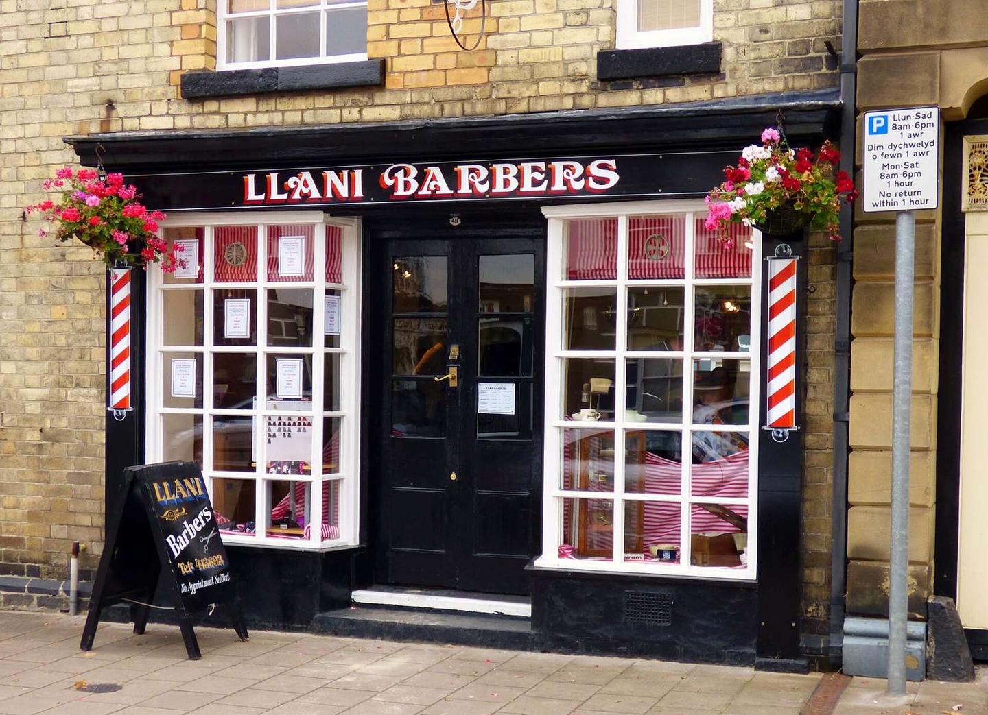
- 46.8 kmLlani Bikes · bike shop · on the route
- 70.4 kmTriangle Inn · pub · 140 m off route
- 70.4 kmNeil's Wheels · bike shop · 220 m off route
Need to bail out?
- 0 km — Welshpool (station), 370 m off route
- 22.5 km — Newtown (station), 310 m off route
- 34.4 km — Caersws (station), on the route
Worth a stop
- 8.7 km — The Naissance Experience (attraction)
- 23.3 km — Newtown Hall Castle Mound (archaeological site)
- 43.7 km — Dol-Llys Fach (peak)
- 46.8 km — Old Market Hall (attraction)
- 70.4 km — Rhayader Castle (castle)
At the start
- Morrisons · supermarket · 140 m
- Costa · café · 170 m
- The Bay Tree · café · 200 m
- The Wellington Arms · pub · 180 m
- Welshpool Kebab House · fast food · 150 m
At the finish
- Triangle Inn · pub · 140 m
- Neil's Wheels · bike shop · 220 m
- The Lost ARC · café · 280 m
- Clive Powell Mountain Bikes · bike shop · 380 m
- The Horseshoe · pub · 350 m
Stay after this ride
- Lion Royal Hotel · hotel · 460 m from the finish
- Crown Inn · hotel · 490 m from the finish
- Ty Morgans · hotel · 520 m from the finish
- Bryncoed Guest House · guest house · 620 m from the finish
- Wyeside Caravan & Camping Park · campsite · 780 m from the finish
Practical information
- Mixed
- Point to point
- 5 h 07 min
- May to Sep — daily highs of 16–20 °C in those months
Know before you go
- 16.3 km without café, shop or water from 54.1 km
- 2.4 km on main roads without a cycle lane
- 3.3 km on roads with posted 80 km/h or more
- 25% gravel or unpaved surface