
Cyclists.com

Regional Cycle Route 12

Llanwddyn, Powys, United KingdomRoad

Signed route The waymarked Regional Cycle Route 12 (regional route), traced from OpenStreetMap and measured against the terrain model; no member has recorded it yet. Ridden it? Add your recording and photos.

38 km
Distance
632 m
Elevation gain
Moderate
Difficulty
Paved
Surface
Download GPXMap

Elevation profile

Total ascent
632 m
Distance
38 km
0200400600m0 km10203038 km534 m · highest, at 29.8 kmStartFinish · back at the start

Route overview

Suitable for riders prepared for moderate climbing over a 38 km distance.

38.4 km loop cycling route from Llanwddyn in Powys with 632 m climbing.

This 38.4 km loop starts and finishes at Llanwddyn in Powys. The initial 4 km includes the major climb of 234 m at an average gradient of 5.9%, reaching a top height of 494 m near Braich-yr-Owen (500 m) and Yr Eithin (571 m). The route passes the places Rhos-y-gwaliau at 13 km, Bala at 14.5 km, and Llangywer at 18.3 km. The route has a mixture of road types: 27.5 km on minor roads, 7.4 km on main roads (all without cycle lanes). Around 19.7 km is on fast roads with speed limits of 80 km/h or more, including a 6.8 km section on the B4403. The surface is mostly paved (98%) with 2% gravel or unpaved sections. There are two further climbs after km 20: one 2.9 km climb gaining 88 m at an average 3.1%, and a longer 4.6 km climb with 258 m gain averaging 5.6% gradient, peaking at 534 m near Foel Y Groes (582 m). Descents include a longest 5.5 km drop near the end with 212 m loss. There is a long 18.2 km stretch without café, shop or water from the start until near Llangywer. The Station Café at 21.5 km offers food and water slightly off route. Toilets are available at 18.5 km alongside a water tap nearby. A railway station (Pentrepiod Halt) lies at 19.7 km just off the route, providing a bailout option.

Highlights

  • Climb to 494 m near Braich-yr-Owen and Yr Eithin
  • Pass through Bala at 14.5 km
  • Peak near Foel Y Groes at 29.7 km
  • Eunant Viewpoint at 36.7 km

Along the route

Measured from the recorded track and OpenStreetMap.

Places passed

  1. Rhos-y-gwaliau 13 km
  2. Bala 14.5 km
  3. Llangywer 18.3 km

Climbs

ClimbStarts atLengthGainAverageMaxTop
0 km4 km234 m5.9 %11.1 %494 m
21.1 km2.9 km88 m3.1 %5.8 %278 m
Clipiau Duon25.1 km4.6 km258 m5.6 %9.5 %534 m

High point 534 m at 29.7 km; low point 165 m. Passes beneath Braich-yr-Owen, Yr Eithin, Bwlan.

Clipiau Duon · starts at 25 km

4.6 km at 5.7% · 263 m
300350400450500m6.5%7.0%6.9%0 km12344.6 km539 msteepest 7.0%
< 4%4 – 7%7 – 10%> 10%

What this ride is like

Measured from OpenStreetMap along the track and the elevation profile.

Roads
72% minor road · 19% main road · 6% other · 2% track
Main roads
7.4 km on main roads without a cycle lane — likely busier
Fast roads
19.7 km on roads with a limit of 80 km/h or more
Main roads used
B4403 (7 km)
Surface
Paved throughout
Gradient
32% climbing · 34% descending · 34% flat
Steep sections
5.5 km over 5% · 1.2 km over 8% · 0.6 km over 10% · steepest 500 m averages 21.9% at 0 km
Longest descent
5.5 km from 31 km, dropping 212 m

Along the way

Within a few hundred metres of the track, from OpenStreetMap. Opening hours change — treat this as where to look, not a promise.

Longest stretch without a café, shop or water: 18 km, from 0 km to 18 km.

Food, water and shops

  1. 18.2 kmWater tap · 170 m off route
  2. 18.5 kmToilets · on the route
  3. 21.5 kmStation Café · café · 190 m off route
  4. 21.5 kmDrinking water · 230 m off route

Need to bail out?

  • 19.7 kmPentrepiod Halt (station), 30 m off route

Whether bikes are carried depends on the service — check before relying on it.

Worth a stop

  • 3.7 kmFoel Y Garnedd (peak, 532 m)
  • 7.2 kmFoel y Ddinas (peak, 489 m)
  • 29.7 kmFoel Y Groes (peak, 582 m)
  • 36.7 kmEunant Viewpoint (viewpoint)

Practical information

Surface
Paved
Route shape
Loop
Riding time
2 h 45 min
Best months
Jun to Aug — daily highs of 16–17 °C in those months

Know before you go

  • 18.2 km longest stretch without café, shop, or water from 0 to 18.2 km
  • 7.4 km on main roads without cycle lanes
  • 19.7 km on roads with speed limits 80 km/h or higher
  • 1.2 km gradient over 8%, max 11.1% at start

Routes are for inspiration. Roads, surfaces and conditions change — check locally and ride within your limits.

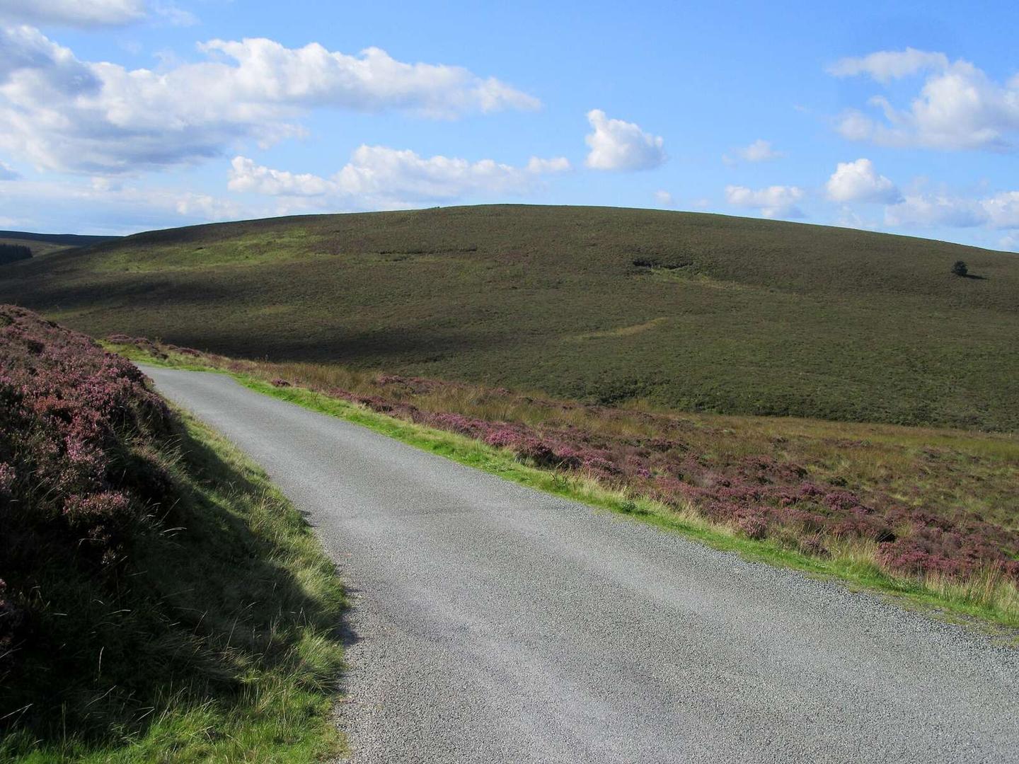
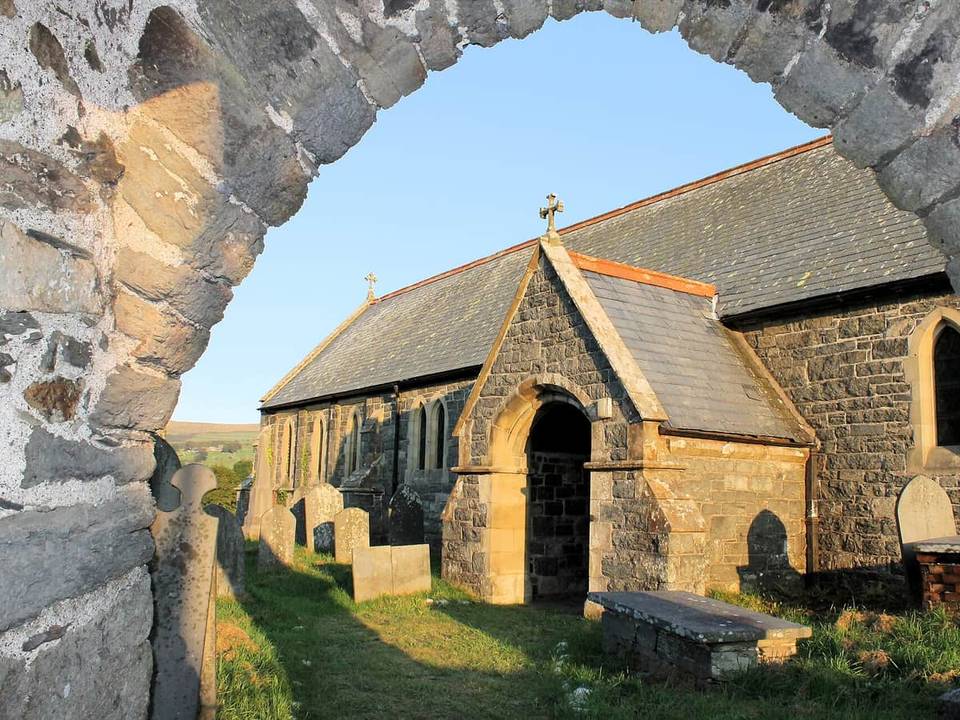
2 photographs from the road

Photo: John H Darch · CC BY-SA 2.0 · Wikimedia Commons · Photo: Mat Fascione · CC BY-SA 2.0 · Wikimedia Commons · Photo: Gareth James · CC BY-SA 2.0 · Wikimedia Commons