Road · United Kingdom
A mountainous 9 km road cycling route from Llanuwchllyn, with 371 m of climbing over Clipiau Duon.
The route starts in Llanuwchllyn at 168 m, quickly reaching a first climb beginning at 0.6 km lasting 2.9 km with an average gradient of 3.6%, gaining 104 m up to 278 m. Following a short flat section, the main climb starts at 4.7 km, extending 4.6 km with an average gradient of 5.7%, peaking at 539 m at 9.3 km. The steepest sections reach up to 9.6%, with a maximum of 12% over 500 m at the start.
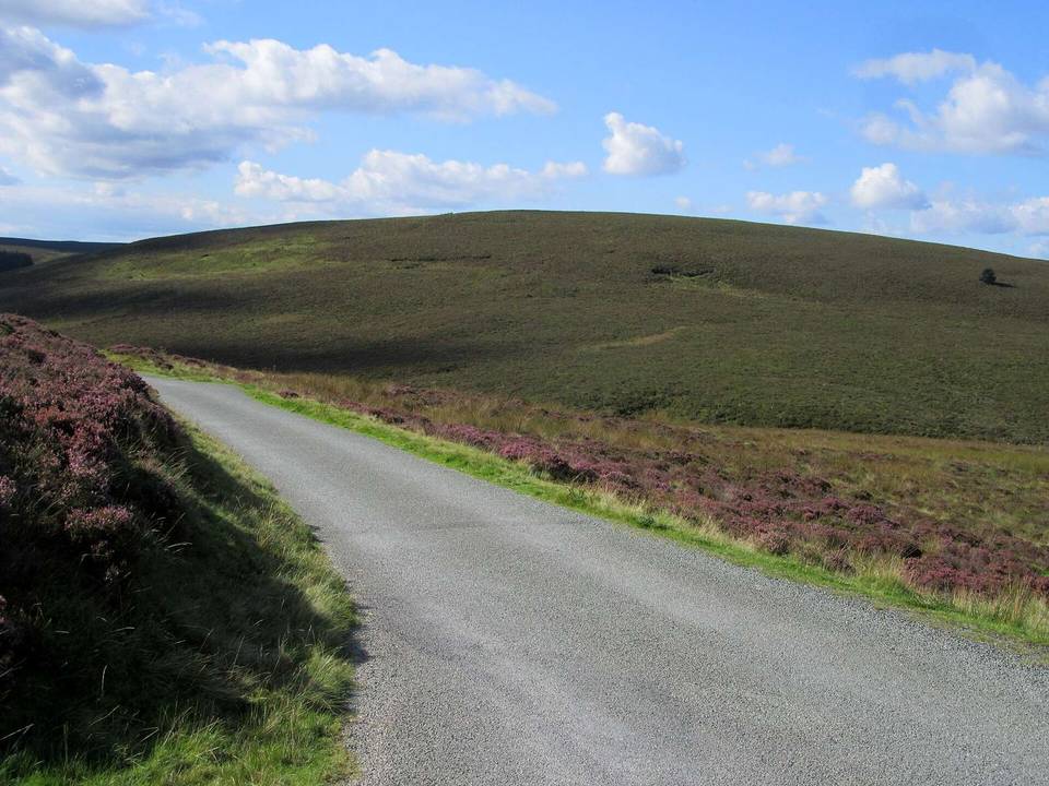
Nearly all the route is on paved roads, predominantly minor roads covering 87% of the distance, and 10% on main roads. However, 7.2 km of the ride is on roads with speed limits of 80 km/h or greater. There are no gravel sections. Facilities are limited with a café at 1.1 km slightly off-route, and toilets near the start at 0.3 km. After 1.1 km there are no shops, cafés, or water for 8.2 km.
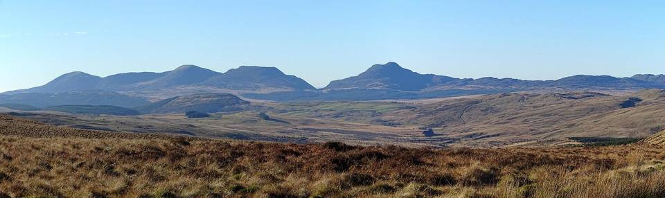
The ride passes beneath peaks including Garth Fach at 2 km, Moel Maes-y-llech at 4.6 km, and Foel Y Groes near the finish at 9.2 km. The petrol station, station, and pub lie close to the start in Llanuwchllyn, which also serves as a bailout point.
| Climb | Starts at | On this ride | Full ascent | Top on this ride |
|---|---|---|---|---|
| Unnamed climb | 0.6 km | 2.9 km · 104 m · 3.6 % · max 6.8 % | — | 278 m |
| Clipiau Duon | 4.7 km | 4.6 km · 263 m · 5.7 % · max 9.6 % | 4.6 km · 263 m · 5.7 % | 539 m |