
Cyclists.com

Regional Cycle Route 13

Llanuwchllyn, United KingdomRoad

Signed route The waymarked Regional Route (regional route 13), traced from OpenStreetMap and measured against the terrain model; no member has recorded it yet. Ridden it? Add your recording and photos.

19 km
Distance
465 m
Elevation gain
Easy
Difficulty
Paved
Surface
Download GPXMap

Elevation profile

Total ascent
465 m
Distance
19 km
0200400600m0 km5101519 km522 m · highest, at 12.4 kmStartFinish

Route overview

This route suits riders who can handle moderate climbing over a 19 km distance.

Regional Route is a 19 km point-to-point ride in Gwynedd from Llanuwchllyn, climbing 465 m.

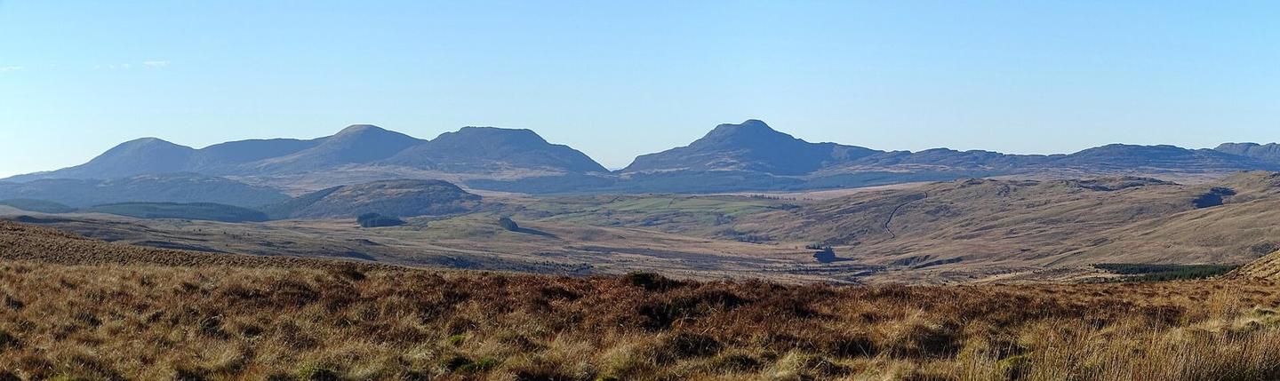
The route starts at Llanuwchllyn near the station and café. It heads toward Dolhendre at 4.2 km, passing beneath peaks such as Carndochan at 346 m near km 4 and Wenallt at 322 m near km 5. The first half contains 60% of the total climbing, with three main climbs beginning at km 3.6, 7.3, and 10.3. These climbs vary from 2.1 to 2.8 km in length with average gradients around 5-6% and maximum gradients up to 13.1%. The highest point reached is 521 m at 12.4 km, near Foel Boeth at 615 m and Foel Ystrodur Fawr at 518 m. The route descends for up to 4.6 km after the highest point, dropping 256 m. The final climb starts at 17.9 km and rises 55 m over 1.2 km before finishing near Dolhendre. The surface is 99% paved with just 1% gravel or unpaved. The roads are mostly minor (91%) with some main, major, and quiet street sections. There are 1.2 km on main roads without a cycle lane and 8.9 km on roads with posted limits of 80 km/h or more. Amenities include a café and toilets near the start at Llanuwchllyn, a petrol station at 1.3 km, and bailout options from the start station. After km 1.3, there is a 17.8 km stretch with no café, shop, or water. Notable points nearby include the peak Bryn Cau at 9 km and the archaeological site Bedd Porus near 18.3 km.

Highlights

  • Climbs to 521 m peak
  • Starts at Llanuwchllyn with café and station
  • Bryn Cau peak at 9 km nearby
  • Longest descent 4.6 km dropping 256 m

Along the route

Measured from the recorded track and OpenStreetMap.

Places passed

  1. Dolhendre 4.2 km

Climbs

ClimbStarts atLengthGainAverageMaxTop
3.6 km2.8 km146 m5.2 %13.1 %324 m
7.3 km2.2 km118 m5.3 %8.3 %422 m
10.3 km2.1 km126 m6.1 %9 %521 m
17.9 km1.2 km55 m4.6 %6.5 %323 m

High point 521 m at 12.4 km; low point 165 m. Passes beneath Carndochan, Wenallt, Moel Hafod-yr-wyn.

What this ride is like

Measured from OpenStreetMap along the track and the elevation profile.

Roads
91% minor road · 4% main road · 3% quiet street · 3% major road
Main roads
1.2 km on main roads without a cycle lane — likely busier
Fast roads
8.9 km on roads with a limit of 80 km/h or more
Surface
Paved throughout
Gradient
38% climbing · 33% descending · 29% flat
Steep sections
4.7 km over 5% · 1.5 km over 8% · 0.7 km over 10% · steepest 500 m averages 12.5% at 4.6 km
Longest descent
4.6 km from 12.4 km, dropping 256 m

Along the way

Within a few hundred metres of the track, from OpenStreetMap. Opening hours change — treat this as where to look, not a promise.

Longest stretch without a café, shop or water: 18 km, from 1 km to 19 km.

Food, water and shops

  1. 0 kmStation Café · café · 190 m off route
  2. 0.9 kmToilets · on the route
  3. 1.3 kmEssar · petrol station · on the route

Need to bail out?

  • 0 kmLlanuwchllyn (station), 180 m off route

Whether bikes are carried depends on the service — check before relying on it.

Worth a stop

  • 9 kmBryn Cau (peak, 463 m)
  • 18.3 kmBedd Porus (archaeological site)

At the start

  • Station Café · café · 190 m
  • Llanuwchllyn · station · 180 m
  • Eagles Inn · pub · 930 m

Stay after this ride

  • Rhiw Goch Bunkhouse · hostel · 610 m from the finish
  • Cae Gwyn Farm Holidays · campsite · 2.4 km from the finish
  • Old Mill Farmhouse · guest house · 3.5 km from the finish

Practical information

Surface
Paved
Route shape
Point to point
Riding time
1 h 22 min
Best months
Jun to Sep — daily highs of 16–18 °C in those months

Know before you go

  • 17.8 km with no café, shop or water after 1.3 km
  • 1.2 km on main roads without cycle lane
  • 8.9 km on roads with speed limit 80 km/h or more

Routes are for inspiration. Roads, surfaces and conditions change — check locally and ride within your limits.

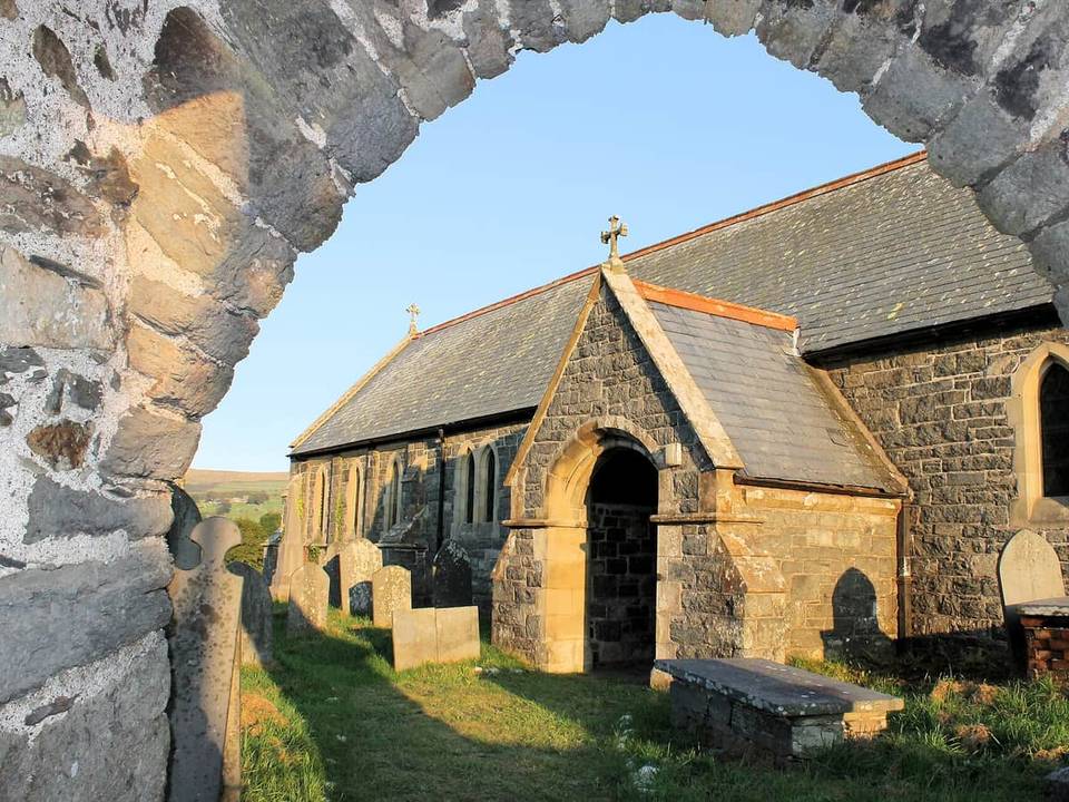
2 photographs from the road

Photo: John Lucas · CC BY-SA 2.0 · Wikimedia Commons · Photo: David Purchase · CC BY-SA 2.0 · Wikimedia Commons · Photo: Ian Medcalf · CC BY-SA 2.0 · Wikimedia Commons

More rides from Llanuwchllyn