
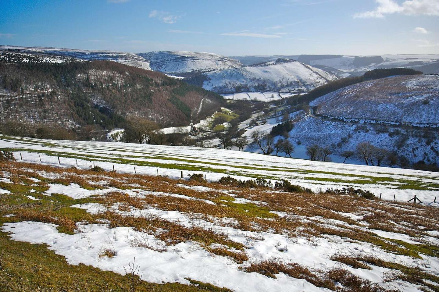
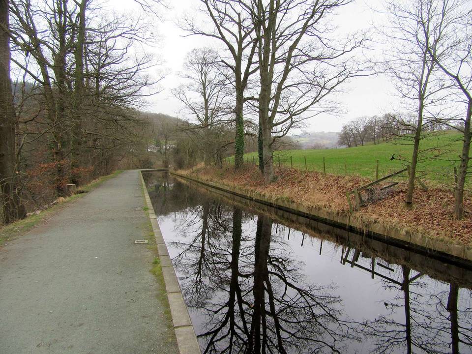
Horseshoe Pass from Llangollen
- 7 km
- 292 m
- Easy
- Paved
Elevation profile
- 292 m
- 7 km
Route overview
This ride suits cyclists looking for a moderate 7 km climb with 292 m of elevation gain.
A 7.1 km climb from Llangollen to the Horseshoe Pass in the UK, gaining 292m elevation.
Starting from Llangollen at 84m elevation, the route immediately faces a climb beginning at 1.2 km that rises 285m over 5.9 km to reach 376m at the Horseshoe Pass. The average gradient of the climb is 4.8%, with a maximum of 8.7% and the steepest 500m section at 8.6% around 4.5 km. The route is fully paved and mainly follows the A542 for 6 km, with 93% on main roads and 7% on quiet streets. The road mostly climbs, with 69% uphill, 1% descending, and 30% flat. There are 3.3 km with gradients over 5% and 1.1 km over 8%. The ride includes 2.2 km sections where the speed limit is 80 km/h or more. Facilities at the start in Llangollen include cafés, bike shops, toilets, a supermarket, and a petrol station. The longest section without café, shop, or water runs for 2.8 km from 4.3 km to the top at 7.1 km. Nearby peaks along the route include Barber's Hill at 340m near 0.9 km, Llwyn Twr at 200m near 1.7 km, Velvet Hill at 230m near 2.7 km, Fron Fawr at 378m near 3.7 km, and Moel y Faen at 548m near the top at 7.1 km.
Highlights
- Climb of 5.9 km gaining 285 m
- Top at Horseshoe Pass, 376 m elevation
- Peaks nearby: Barber's Hill, Fron Fawr, Moel y Faen
- Route follows 6 km of A542 main road
Along the route
Climbs
| Climb | Starts at | Length | Gain | Average | Max | Top |
|---|---|---|---|---|---|---|
| Moel y Faen | 1.2 km | 5.9 km | 285 m | 4.8 % | 8.7 % | 376 m |
Moel y Faen · starts at 1.2 km
What this ride is like
- Roads
- 93% main road · 7% quiet street
- Main roads
- 6.6 km on main roads without a cycle lane — likely busier
- Fast roads
- 2.2 km on roads with a limit of 80 km/h or more
- Main roads used
- A542 (6 km)
- Surface
- Paved throughout
- Gradient
- 69% climbing · 1% descending · 30% flat
- Steep sections
- 3.3 km over 5% · 1.1 km over 8% · steepest 500 m averages 8.6% at 4.5 km
Along the way
Food, water and shops
- 0 kmStans Of Llangollen · supermarket · 60 m off route
- 0 kmToilets · on the route
- 0 kmTexaco · petrol station · 70 m off route
- 0.2 kmDrosi Bikes · bike shop · on the route
- 0.3 kmRowlands Pharmacy · pharmacy · 530 m off route
- 0.4 kmFinley's Sandwich Bar · café · on the route
Need to bail out?
- 0.5 km — Llangollen (station), 40 m off route
Worth a stop
- 0.4 km — Llangollen Wharf Horse Drawn Boat Trips (attraction)
At the start
- George’s Cafe · café · 40 m
- Drosi Bikes · bike shop · 120 m
- Let's Avocuddle · café · 60 m
- Bear Trax · bike shop · 70 m
- Gerrards · bakery · 80 m
Stay after this ride
- Abbey Grange Hotel · hotel · 2.8 km from the finish
- Abbey Farm · campsite · 3.4 km from the finish
- The Chainbridge Hotel · hotel · 3.9 km from the finish
Practical information
- Paved
- Point to point
- 30 min
Know before you go
- 6.6 km on main roads without cycle lane
- 2.2 km on roads with 80 km/h+ speed limit
- Longest stretch without café or shop for 2.8 km from 4.3 to 7.1 km
