
Cyclists.com

National Cycle Route 85

Llangollen, United KingdomMixed

Signed route The waymarked National Cycle Route 85 (National Cycle Network), traced from OpenStreetMap and measured against the terrain model; no member has recorded it yet. Ridden it? Add your recording and photos.

10 km
Distance
11 m
Elevation gain
Easy
Difficulty
Mixed
Surface
Download GPXMap

Elevation profile

Total ascent
11 m
Distance
10 km
0255075100125m0 km246810 km103 m · highest, at 0.0 kmStartFinish

Route overview

Suitable for riders seeking a short, mostly flat route with mixed surfaces.

National Cycle Route 85 is a 9.9 km route from Berwyn to Acrefair in Denbighshire, mostly flat and surfaced mainly with cycle paths.

National Cycle Route 85 starts at Berwyn station (0 km, 103 m) beneath Velvet Hill (230 m) and Llwyn Twr (200 m). It proceeds mainly west to Llangollen (2.6 km), passing near Pen-y-Coed (218 m at 3.5 km). The route is mostly on a cycle path (8.8 km), with 45% paved and 54% gravel or unpaved surfaces. The profile is very flat with only 11 m elevation gain over 9.9 km, the highest point at the start and the lowest around 7.3 km (92 m). The ride is 95% flat with only 0.1 km exceeding a 5% gradient. There are no climbs. Facilities include cafés near Llangollen Wharf at 2.5 km and Chapel Tearoom at 9.4 km, shops and a water point near Llangollen at 2.9 km. The longest stretch without a café, shop, or water is 3.3 km from 5.5 to 8.8 km. Bail-out points include Llangollen station at 2.5 km and multiple toilets at 2.9 km and 9.4 km.

Highlights

  • Near Velvet Hill (230 m) and Llwyn Twr (200 m)
  • Passes Llangollen at 2.6 km
  • Cycle path for 8.8 km
  • Ends near Trevor and Acrefair

Along the route

Measured from the recorded track and OpenStreetMap.

Places passed

  1. Llangollen 2.6 km

What this ride is like

Measured from OpenStreetMap along the track and the elevation profile.

Roads
89% cycle path · 5% quiet street
Cycle paths
8.8 km on cycle paths or roads with a cycle lane
Surface
45% paved · 54% gravel or unpaved
Gradient
4% climbing · 1% descending · 95% flat

Along the way

Within a few hundred metres of the track, from OpenStreetMap. Opening hours change — treat this as where to look, not a promise.

Food, water and shops

  1. 2.5 kmLlangollen Wharf · café · on the route
  2. 2.5 kmDrosi Bikes · bike shop · 180 m off route
  3. 2.9 kmCo-operative · supermarket · 260 m off route
  4. 2.9 kmLlangollen Water Point · water point · on the route
  5. 2.9 kmToilets · on the route
  6. 3.1 kmRowlands Pharmacy · pharmacy · 40 m off route
  7. 9.1 kmTrevor Convenience Store · convenience store · 150 m off route
  8. 9.3 kmDrinking water · on the route
  9. 9.4 kmChapel Tearoom · café · 100 m off route
  10. 9.4 kmToilets · 30 m off route

Need to bail out?

  • 2.5 kmLlangollen (station), 90 m off route

Whether bikes are carried depends on the service — check before relying on it.

Worth a stop

  • 2.5 kmLlangollen Wharf Horse Drawn Boat Trips (attraction)

At the start

  • Berwyn · station · 110 m

At the finish

  • Chapel Tearoom · café · 420 m
  • Telford Inn · pub · 440 m
  • Trevor Convenience Store · convenience store · 520 m
  • Aussie Rooster · pub · 860 m

Stay after this ride

  • Cefn Mawr Barber · hotel · 830 m from the finish
  • Bryn Howel Hotel · hotel · 2.5 km from the finish

Practical information

Surface
Mixed
Route shape
Point to point
Riding time
42 min
Best months
May to Sep — daily highs of 16–20 °C in those months

Know before you go

  • 3.3 km without café, shop or water from km 5.5 to 8.8

Routes are for inspiration. Roads, surfaces and conditions change — check locally and ride within your limits.

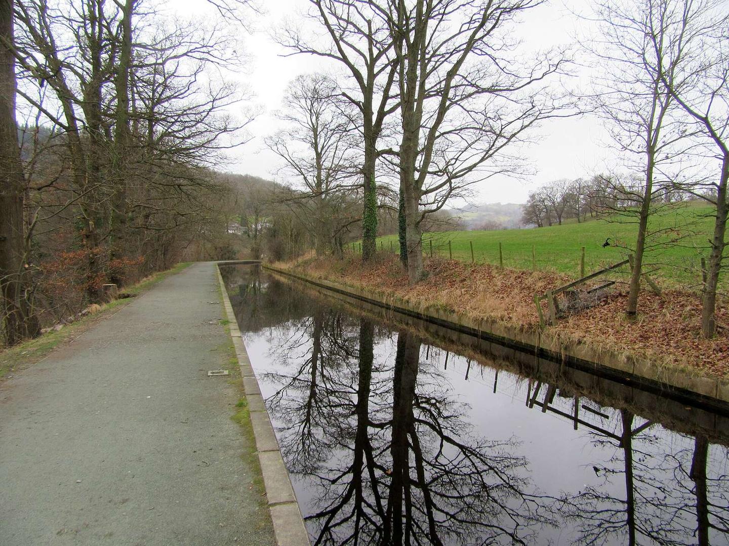
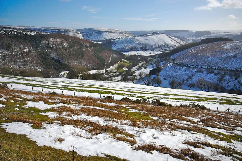
2 photographs from the road

Photo: ARG_Flickr · CC BY 2.0 · Wikimedia Commons · Photo: Geraint Roberts · CC BY-SA 2.0 · Wikimedia Commons · Photo: John H Darch · CC BY-SA 2.0 · Wikimedia Commons

More rides from Llangollen