
Around Al Ain
- 73 km
- 827 m
- Hard
- Paved
Elevation profile
- 827 m
- 73 km
Route overview
Suitable for strong cyclists comfortable with longer climbs and moderate distance.
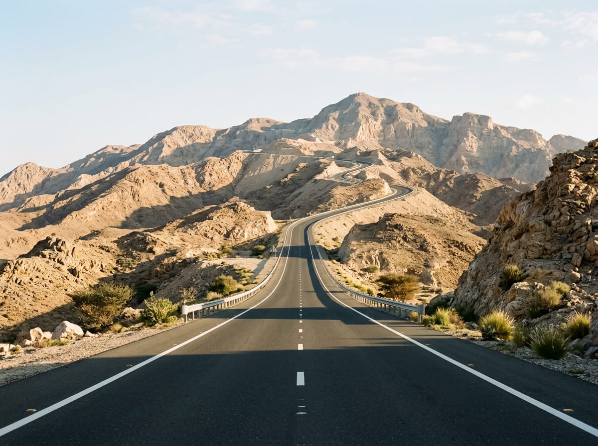
73 km loop in Abu Dhabi from Al Bateen with 827 m climbing including a 10 km ascent to Jabal Hafeet.
The ride starts at Al Bateen and heads north through Al Maqam and Zakhir before reaching the base of the main climb near 25 km. The profile features a high point at 1040 m near 35 km on Jabal Hafeet; this is reached by a 10 km climb gaining 766 m at an average gradient of 7.7%, with sections up to 13.2%. The route includes mainly paved roads (99%) including 52% main roads with no cycle lanes, 36% minor roads, and 11% quiet streets. The longest descent is 11.3 km from 37.7 km with a drop of 767 m.
Highlights
- Jabal Hafeet peak near 36 km
- 10 km climb gaining 766 m
- Longest descent 11.3 km dropping 767 m
- Al Bateen start and finish
Along the route
Places passed
Climbs
| Climb | Starts at | Length | Gain | Average | Max | Top |
|---|---|---|---|---|---|---|
| Jebel Hafeet | 25.1 km | 10 km | 766 m | 7.7 % | 13.2 % | 1040 m |
Jebel Hafeet · starts at 25.1 km
< 4%4 – 7%7 – 10%> 10%
What this ride is like
- Roads
- 52% main road · 36% minor road · 11% quiet street
- Main roads
- 36.8 km on main roads without a cycle lane — likely busier
- Fast roads
- 15.5 km on roads with a limit of 80 km/h or more
- Main roads used
- Jabal Hafeet Street (25 km), Tawam Street (10 km), Hazza Bin Sultan Street (6 km), Tuwam Street (5 km)
- Surface
- Paved throughout
- Gradient
- 15% climbing · 16% descending · 69% flat
- Steep sections
- 7.9 km over 5% · 5.9 km over 8% · 1.4 km over 10% · steepest 500 m averages 16% at 0 km
- Longest descent
- 11.3 km from 37.7 km, dropping 767 m
Along the way
Food, water and shops
- 6.7 kmChicken Hut · restaurant · 240 m off route
- 6.7 kmConvenience store · 230 m off route
- 6.7 kmBudoor Pharmacy · pharmacy · 230 m off route
- 11.1 kmRugby Club Restaurant · pub · 380 m off route
- 19.9 kmAl Ali Restaurant · restaurant · 70 m off route
- 20.1 kmADNOC · petrol station · 70 m off route
- 20.2 kmSabir Grocery · convenience store · 130 m off route
- 24.6 kmAl Sahra · restaurant · 400 m off route
- 32.4 kmToilets · 40 m off route
- 33.1 kmAl Khayma · café · 300 m off route
- 39.8 kmLavazza · café · 40 m off route
- 53.6 kmBaqala · convenience store · 390 m off route
- 56 kmJust Fresh · fast food · 60 m off route
- 60.6 kmSupermarket · 50 m off route
- 63.1 kmDrinking water · 60 m off route
- 65.6 kmBurjeel Royal Asharej Hospital · hospital · 350 m off route
- 70.3 kmLa Brioche · café · 140 m off route
- 70.6 kmADNOC · petrol station · 70 m off route
Worth a stop
- 55.9 km — نادي العين الرياضي . فرع زاخر (viewpoint)
At the start and finish
- La Brioche · café · 300 m
- Starbucks · café · 370 m
- McDonald's · fast food · 270 m
- BaskinRobbins · ice cream · 280 m
Practical information
- Paved
- Loop
- 3–4 hours riding
- April, temperatures at 27 °C.
Know before you go
- 36.8 km on main roads without cycle lanes
- 15.5 km on roads with 80 km/h+ speed limits
- No café, shop or water from 39.8 km to 53.6 km (13.8 km)