
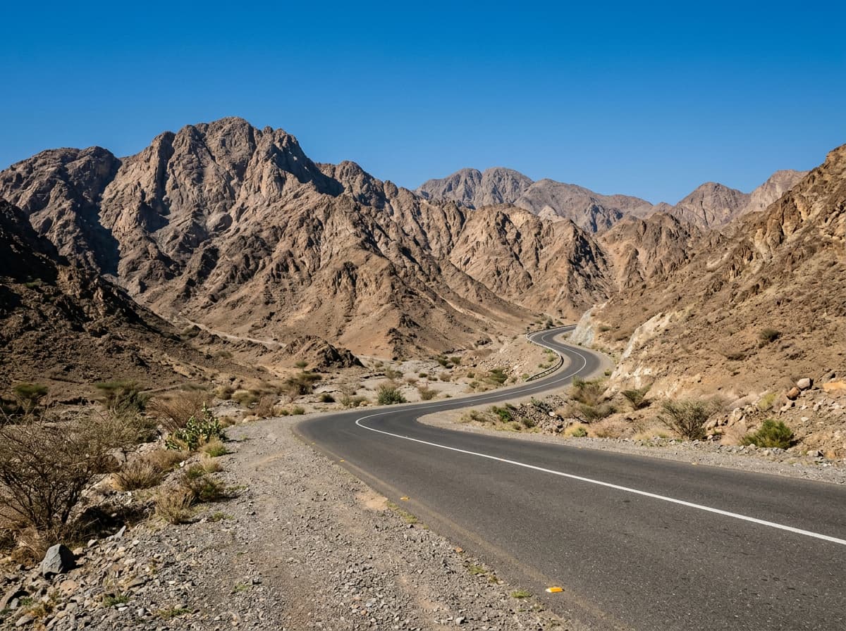
 AI image
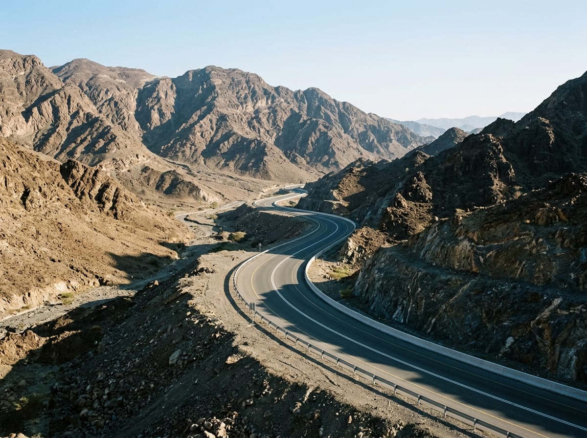
Road · United Arab Emirates
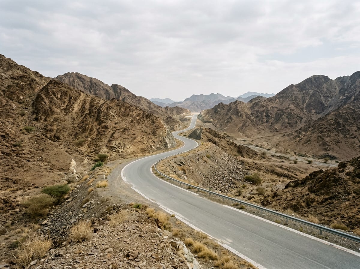
Cyclists suited for a moderate distance with steady climbing over 559 m.
47.9 km out-and-back cycle route in the Hajar Mountains from Al Fujayrah, UAE, with 559 m climbing.
The route starts from Al Fujayrah and passes through Sufayri at 20.4 km and Hatta at 22.1 km before reaching Huwaylat at 39 km. It covers almost entirely paved roads with 98% tarmac and only 1% gravel or unpaved surface. Most of the 47.9 km ride is on main roads (87%), with some sections on major roads, quiet streets, and minor roads. The D30 road is the longest named road segment at 5.1 km. The first half includes most of the climbing, with a 5.9 km climb beginning at 8.8 km that gains 189 m at an average gradient of 3.2%, reaching an altitude of 407 m. Other shorter climbs follow shortly after passing Hatta and around Huwaylat, with gradients ranging from 2.4% to 4.7%. The highest point is at 32.7 km at 407 m. Descents total 32% of the route including a longest descent of 5.7 km dropping 184 m starting at 33 km. The route has long stretches on main roads without cycle lanes, including 43.4 km total, and a 1.7 km section on fast roads with speed limits of 80 km/h or more. Cafés, shops, and water can be found near the first 27.9 km of the route, including Al Yamm Cafe at 19.9 km and a convenience store at 23.7 km. After 27.9 km there is a 19.6 km stretch without any café, shop or water. Toilets are located near 19.6 km and 24.7 km, with a viewpoint called Tower also off route by 212 m at 24.7 km. A petrol station is located close to 8.2 km. The route lies beneath the 550 m peak of Jabal Abu Samasimah near 23.7 km.
| Climb | Starts at | Length | Gain | Average | Max | Top |
|---|---|---|---|---|---|---|
| As Simsimānīyah climb | 8.8 km | 5.9 km | 189 m | 3.2 % | 8.9 % | 407 m |
| — | 21.1 km | 1.7 km | 40 m | 2.4 % | 4 % | 367 m |
| — | 28.9 km | 2.1 km | 81 m | 4 % | 5.8 % | 386 m |
| — | 31.5 km | 1.2 km | 54 m | 4.7 % | 7.7 % | 407 m |
| — | 44.5 km | 1.1 km | 43 m | 3.9 % | 6.1 % | 278 m |
Longest stretch without a café, shop or water: 20 km, from 28 km to 48 km.
AI imageRoad · United Arab Emirates
 AI image
Road · United Arab Emirates
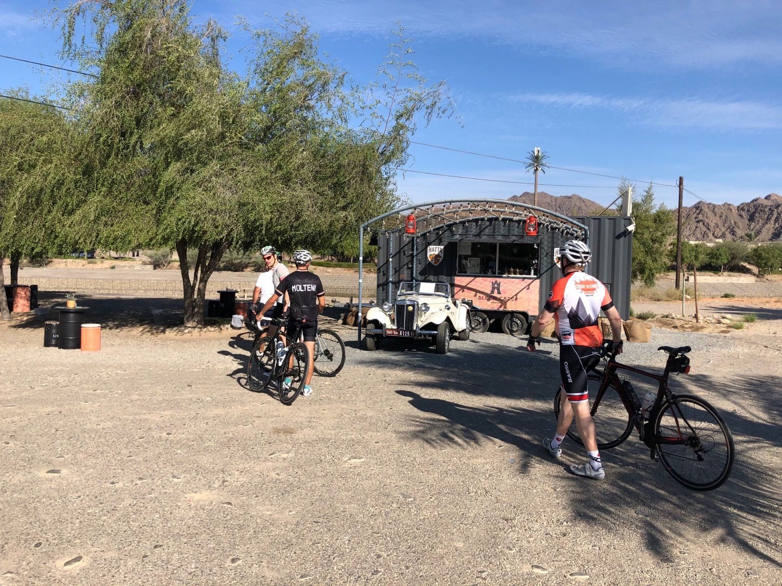
Road · United Arab Emirates
 AI image
Road · United Arab Emirates
 AI image
Road · United Arab Emirates
 AI image
Road · United Arab Emirates
 AI image
Road · United Arab Emirates
 AI image
Road · United Arab Emirates