
 AI image
Road · United Kingdom
Suitable for riders comfortable with moderate distance and nearly 1000m of climbing.
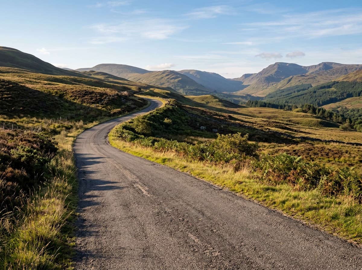
A 66.6km loop from Balfron in Scotland with 981m of climbing, passing villages and hamlets.
The Balfron – Balloch loop starts near Balfron, passing Gartmore at 0.6km and Aberfoyle at 3.7km. The route begins with an early climb starting at 2.2km, rising 47m over 2.1km averaging 2.2%, reaching about 79m high. Higher terrain appears as the route continues through Milton at 7.5km and Kinlochard at 11.9km, with a series of climbs between 13km and 35.2km offering gradients up to 10.3%. These climbs include a notable 2.3km section starting at 22.3km that gains 101m at an average 5.3%, peaking at 332m around 24.2km, the highest point on the route. The second half of the loop features more gentle climbs and undulating terrain with further smaller ascents between 52.8km and 55.4km before returning to Balfron. The elevation lows and highs range from 18m at the start to 332m at the highest point, with about 52% of the elevation gain occurring in the first half of the ride. The route passes near several peaks including Doon Hill, Kirton Hill, Uamh Mhor, and others, providing consistent upland terrain throughout.
| Starts at | Length | Gain | Average | Max | Top |
|---|---|---|---|---|---|
| 2.2 km | 2.1 km | 47 m | 2.2 % | 4.9 % | 79 m |
| 13 km | 1.5 km | 65 m | 4.5 % | 8.1 % | 135 m |
| 19.9 km | 1.5 km | 57 m | 3.8 % | 7.9 % | 244 m |
| 22.3 km | 1.9 km | 101 m | 5.3 % | 9.7 % | 332 m |
| 30.9 km | 2.6 km | 101 m | 3.9 % | 7.9 % | 212 m |
| 35.2 km | 1.3 km | 73 m | 5.6 % | 10.3 % | 284 m |
| 52.8 km | 1.4 km | 57 m | 4.2 % | 7.3 % | 119 m |
| 55.4 km | 1.5 km | 41 m | 2.8 % | 4 % | 123 m |