
Cyclists.com

Bayswater – Blackheath

34 km road cycling loop48 m climbing2½–3½ hoursGPX

Bayswater, England, United Kingdom · Road

A flat 34 km road cycling loop from Bayswater, England through Westminster, Chinatown and Whitechapel, with 48 m of climbing.

Route contributed by Richard Chapman · Created from a ride on Thursday 19th August 2021

Download GPXMap

At a glance

Best for
Easy, flat rides
Distance
33.7 km
Loop
Elevation gain
48 m
1 m per km
Riding time
2½–3½ hours
moving time, estimated
Difficulty
Easy
Bike
Road bike
from the mapped surface
Surface
Paved
87% paved · 1% unpaved · 12% no data
Traffic
Mostly minor roads
3.6 km on main roads without a cycle lane · 12 km on cycle paths or lanes
Food & water
Regular
2157 cafés and restaurants · 252 shops · 29 water points · 5 petrol stations · 67 public toilets · 232 bike shops
Navigation
GPX download
free, no sign-in
Start and finish
Bayswater

Map and elevation profile

Elevation profile

Total ascent
48 m
Distance
34 km
02040m0 km102034 km30 m · highest, at 29.6 kmStartFinish · back at the start

Route description

  1. Bayswater
  2. Westminsterkm 3
  3. Chinatownkm 4
  4. Whitechapelkm 8
  5. Limehousekm 10
  6. Greenwichkm 16
  7. Walworthkm 24
  8. Lambethkm 26
  9. Belgraviakm 30
  10. Bayswaterkm 34

The route starts in Bayswater and heads through Westminster, Victoria, and central London including Chinatown and Covent Garden. It continues along the Thames through Southwark, the City of London, Whitechapel, and Limehouse before crossing the Isle of Dogs to Greenwich.

From Greenwich, the ride goes to Deptford, New Cross and through South London areas such as Old Kent Road, Walworth, Kennington and Lambeth. It then follows the river back through Waterloo, Soho, Mayfair, and Belgravia, finishing near Kensington. The terrain is mostly flat with a total elevation gain of 48 m and a highest point at 30 m near Mayfair.

The surface is predominantly paved (87%) with a mixture of path (36%), cycle path (21%), roads with cycle lanes (16%), and some main roads (10%). There are 3.6 km of main roads without cycle lanes. Cafés, shops, water points, toilets and bike shops are frequent along the route, with no long stretches lacking amenities. Notable stops include cafés at 3.8 km and 26.1 km and supermarkets near the start and finish.

Highlights

  • Passes through Westminster and Covent Garden
  • Crosses Isle of Dogs to Greenwich
  • Highest point 30 m at Mayfair
  • Cycle paths cover 21% of route

Along the route

Measured from the route line, the Copernicus elevation model and OpenStreetMap.

Places passed

  1. Westminster 2.8 km
  2. Victoria 2.8 km
  3. London 3.7 km
  4. Chinatown 3.8 km
  5. Covent Garden 4.5 km
  6. Southwark 5.7 km
  7. City of London 6.3 km
  8. Whitechapel 8.4 km
  9. Wapping 8.7 km
  10. Shadwell 9.4 km
  11. Stepney 9.9 km
  12. Limehouse 10.4 km
  13. Poplar 11.5 km
  14. Canary Wharf 13 km
  15. Isle of Dogs 14.2 km
  16. Greenwich 16.4 km
  17. Deptford 17.4 km
  18. New Cross 17.9 km
  19. Old Kent Road 22.7 km
  20. Walworth 23.7 km
  21. Kennington 24.6 km
  22. Elephant and Castle 24.8 km
  23. The Borough 24.8 km
  24. Lambeth 25.6 km
  25. Waterloo 25.9 km
  26. Soho 28.5 km
  27. Mayfair 28.6 km
  28. Belgravia 29.8 km
  29. Knightsbridge 30.7 km
  30. South Kensington 31.7 km

Traffic, surface and gradient

Measured from OpenStreetMap along the track and the elevation profile.

Mostly minor roads and streets on the map; 3.6 km is on main roads without a cycle lane.

Roads
36% path · 21% cycle path · 16% road with cycle lane · 10% main road · 17% other roads and tracks
Main roads
3.6 km on main roads without a cycle lane — likely busier
Cycle paths
12 km on cycle paths or roads with a cycle lane
Surface
Paved: 87% of the route is mapped as paved, 1% as unpaved and 12% has no surface data.
Gradient
3% climbing · 5% descending · 92% flat

Food, water and services

Within a few hundred metres of the track, from OpenStreetMap. Opening hours change — treat this as where to look, not a promise.

No stretch is longer than 15 km without a café, shop or water. Along the route: 2157 cafés and restaurants, 252 shops, 29 water points, 5 petrol stations, 67 public toilets and 232 bike shops.

Food, water and shops in ride order

  1. 0.1 kmToilets · 90 m off route
  2. 2.3 kmGreen Park 5 · drinking water · on the route
  3. 3.8 kmCaffe Concerto · café · on the route
  4. 7.8 kmDrinking water · 90 m off route
  5. 8.4 kmFoffa · bike shop · 40 m off route
  6. 8.6 kmTexaco · petrol station · 170 m off route
  7. 11.5 kmToilets · 140 m off route
  8. 14.6 kmFodal Oriental Supermarket · supermarket · on the route
  9. 16.4 kmCutty Sark Toilets · toilets · 100 m off route
  10. 17.2 kmCycles UK · bike shop · on the route
  11. 19.4 kmSylva Restaurant · café · on the route
  12. 20.8 kmCostcutter · convenience store · 300 m off route
  13. 24.2 kmWater tap · 70 m off route
  14. 25.8 kmSpar · supermarket · on the route
  15. 26.6 kmCityLoos · toilets · 60 m off route
  16. 29.8 kmKnightsbridge · bike rental · on the route
  17. 31.9 kmPalace Gate Kiosk · café · on the route
  18. 32.5 kmDrinking water · on the route

Need to bail out?

  • 0 kmLancaster Gate (station), 920 m off route
  • 6.5 kmLondon Cannon Street (station), 40 m off route
  • 12.6 kmCanary Wharf (ferry), 50 m off route
  • 20.8 kmSouth Bermondsey (station), 30 m off route
  • 29.7 kmHyde Park Corner (station), on the route

Whether bikes are carried depends on the service — check before relying on it.

Worth a stop

  • 2.3 kmWimbourne House (castle)
  • 7.1 kmBillingsgate Roman House & Baths (archaeological site)
  • 24.4 kmElephant & Castle (monument)
  • 28.1 kmMarlborough House (castle)
  • 31.4 kmThe Albert Memorial (attraction)

Start and access

Starts and finishes at Bayswater. Mapped within a short walk of the start, from OpenStreetMap.

At the start and finish

Water
Hyde Park 6 (190 m)
Bikes and repair
Serpentine Car Park (150 m)
Food and coffee
The Courts Café at Hyde Park (200 m), Colicci (160 m)

Know before you go

  • 3.6 km on main roads without cycle lanes
  • Longest stretch without café or water is 0.6 km from km 19.4 to 20

Routes are for inspiration. Roads, surfaces and conditions change — check locally and ride within your limits.

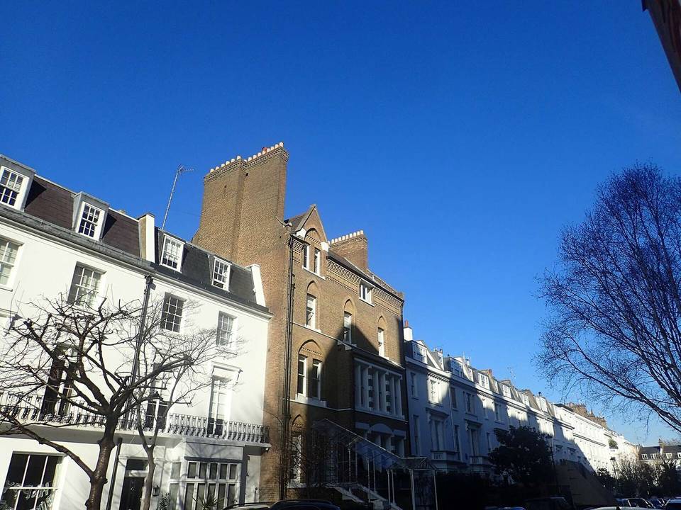
3 photographs from the road

About this route

Date ridden
Route line
Built from a GPS recording of the ride.
Elevation
Recalculated from the Copernicus GLO-90 terrain model every 50 m, not the device’s barometer.
Roads, surface, services
Measured along the line from OpenStreetMap extracts.
GPX
Generated from the route line: track points only, no timestamps or personal data.
Page added
Page last updated

See something wrong with this ride?

Rides starting nearby