Mixed · Malaysia
Batang Berjuntai – Kampung Tanjung Karang
A flat 104 km road cycling loop from Bestari Jaya, Selangor through Kampung Parit Serong, Kampung Seri Tiram Jaya and Sekinchan, with 22 m of climbing. Most of it (69.2 km) is on main roads without a cycle lane, 12.1 km where the limit is 80 km/h or more. The first 46 km has no café, shop or water.
At a glance
- Best for
- Flat, steady riding for confident riders at ease in traffic
- Distance
- 103.6 km
- Elevation gain
- 22 m
- Riding time
- 3–4 hours
- Difficulty
- Moderate
- Bike
- Road bike
- Surface
- Paved
- Traffic
- Mostly main roads
- Food & water
- Longest gap 46 km
- Navigation
- GPX download
- Start and finish
- Bestari Jaya
Map and elevation profile
Elevation profile
- 22 m
- 104 km
Route description
- Bestari Jaya
- Kampung Parit Serong
- Kampung Seri Tiram Jaya
- Sekinchan
- Site B Sekinchan
- Tanjong Karang
- Kampung Tiram Setia
- Kampung Sri Makmur
- Kampung Rantau Panjang
- Bestari Jaya
The ride starts and ends in Bestari Jaya, covering 103.6 km on a 99% paved surface. It passes through several villages including Kampung Parit Serong, Sekinchan, and Tanjong Karang. The route forms a loop, climbing only 22 m overall, with the highest point at 24 m reached near km 97. The elevation profile is predominantly flat, with 99% of the route flat and just 1% climbing.
The loop features a mix of road types: 56% on main roads, 27% on minor roads, 12% on major roads and 4% on quiet streets. Key roads include B42 for 47.4 km and Route 5 for nearly 12 km. The ride includes 69.8 km on main roads without a cycle lane and 12.2 km on roads with speed limits of 80 km/h or more.
Food and drink options are available at the start, including a restaurant, café and convenience store. The first 45.5 km include the longest stretch without cafés, shops or water. After that, there are several eateries, supermarkets, petrol stations and a public toilet near Sekinchan. The route concludes back at Bestari Jaya with fast food and other amenities nearby.
Highlights
- Sekinchan at 50 km
- Tanjong Karang at 63 km
- B42 road for 47 km
- Highest point at 24 m near 97 km
Along the route
Places passed
Traffic, surface and gradient
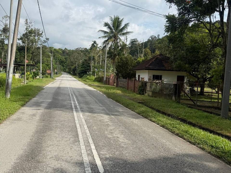
This is not a cycle-track route: 67% is on main roads without a cycle lane, 12.1 km of it where the limit is 80 km/h or more. Riders should be comfortable sharing the road with faster traffic.
- Roads
- 56% main road · 27% minor road · 12% major road · 5% quiet street
- Main roads
- 69.2 km on main roads without a cycle lane — likely busier
- Fast roads
- 12.1 km on roads with a limit of 80 km/h or more
- Main roads used
- Jalan Raja Musa (47 km), Jalan Terusan Utama (13 km), Jalan Kuala Selangor-Teluk Intan (11 km), Jalan Tali Air 5 (6 km)
- Surface
- Paved: 99% of the route is mapped as paved, 1% as unpaved.
- Gradient
- 1% climbing · 0% descending · 99% flat
Food, water and services
The longest stretch without a café, shop or water is 46 km, from the start. Along the route: 22 cafés and restaurants, 17 shops, 11 petrol stations and 1 public toilet.
Food, water and shops in ride order
- 0 kmRestoran Nasi Korek - Korek · restaurant · 350 m off route
- 0 kmjoeyshoppe · convenience store · 400 m off route
- 0 kmBHPetrol · petrol station · on the route
- 0 kmSai Policlinic · clinic · 290 m off route
- 45.9 kmHay Cafe · café · 100 m off route
- 50.1 kmTandas Awam · toilets · 80 m off route
- 50.2 kmVR Sekinchan Jie Yuan · restaurant · 40 m off route
- 50.4 kmWatsons · pharmacy · 310 m off route
- 50.6 km99 Speedmart · supermarket · 80 m off route
- 52.6 kmPetron · petrol station · 100 m off route
- 55 kmKek Ghumoh Kafe · café · 110 m off route
- 63 kmBaker's Cottage · bakery · 100 m off route
- 63 km99 Speedmart · supermarket · 80 m off route
- 63.2 kmShell · petrol station · 50 m off route
- 63.4 kmKlinik Mediviron · clinic · 80 m off route
- 71.5 km99 Speedmart · supermarket · 70 m off route
- 102.5 kmBurger King · fast food · on the route
- 102.5 kmCaltex · petrol station · 70 m off route
Worth a stop
- 49.9 km — Ah Ma House (attraction)
Start and access
At the start and finish
- Food and coffee
- Burger King (250 m), Restoran Nasi Korek - Korek (350 m)
- Shops
- joeyshoppe (400 m)
Know before you go
- Longest stretch of 45.5 km without café, shop or water at start
- 69.8 km on main roads without cycle lane
- 12.2 km on roads with speed limit 80 km/h or above