Road · Malaysia
Serendah – Batang Berjuntai
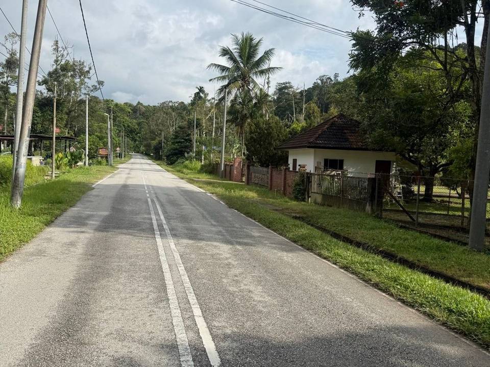
A rolling 70 km mixed-surface cycling loop from Serendah, Selangor through Ladang Sungai Tinggi, Kampung Rantau Panjang and Bukit Beruntung, with 326 m of climbing. The first 66 km has no café, shop or water. Mixed surface: 83% is mapped as paved and 15% as gravel or unpaved and 2% has no surface data.
At a glance
- Best for
- Rolling day rides
- Distance
- 69.9 km
- Elevation gain
- 326 m
- Riding time
- 3–4½ hours
- Difficulty
- Moderate
- Bike
- Road bike with sturdy tyres, or gravel bike
- Surface
- Mixed surface
- Traffic
- Mostly minor roads
- Food & water
- Longest gap 66 km
- Navigation
- GPX download
- Start and finish
- Serendah
Map and elevation profile
Elevation profile
- 326 m
- 70 km
Route description
- Serendah
- Ladang Sungai Tinggi
- Kampung Rantau Panjang
- Bukit Beruntung
- Serendah
The route starts in Serendah and heads through Ladang Sungai Tinggi at 21.9 km, Kampung Rantau Panjang at 26.7 km, and Bukit Beruntung near 67 km before returning to Serendah. The profile is mostly flat with 75% flat terrain, 13% climbing and 12% descending. The highest point is 66 m at 48.1 km, and the lowest point is 8 m at 35.3 km. The route includes a short steep section of 0.1 km over 10% near 55.6 km with the steepest 500 m segment at 4.1% gradient.
Highlights
- Passing Ladang Sungai Tinggi at 21.9 km
- Passing Kampung Rantau Panjang at 26.7 km
- Near peak Bukit Merbau Dulang at 42.8 km
- Highest point at 66 m around 48.1 km
Along the route
Places passed
Traffic, surface and gradient
Mostly minor roads and streets on the map; 10.1 km is on main roads without a cycle lane.
- Roads
- 67% minor road · 15% main road · 13% track · 3% quiet street · 1% other roads and tracks · 2% unmapped
- Main roads
- 10.1 km on main roads without a cycle lane — likely busier
- Fast roads
- 3 km on roads with a limit of 80 km/h or more
- Main roads used
- Jalan Rawang (3 km)
- Surface
- Mixed surface: 83% is mapped as paved and 15% as gravel or unpaved and 2% has no surface data.
- Gradient
- 13% climbing · 12% descending · 75% flat
Food, water and services
The longest stretch without a café, shop or water is 66 km, from the start. Along the route: 5 cafés and restaurants and 6 shops.
Food, water and shops in ride order
- 0.3 km99 Speedmart · supermarket · 350 m off route
- 66.2 kmRestoran Jasen Jaya · restaurant · 50 m off route
- 66.2 km99 Speedmart · supermarket · 70 m off route
Worth a stop
- 42.8 km — Bukit Merbau Dulang (peak)
Start and access
At the start and finish
- Food and coffee
- Restoran Jasen Jaya (910 m), Salam 1 Cafe (980 m)
- Shops
- 99 Speedmart (420 m), Pasar Mini Salam Sentosa (980 m)
Know before you go
- 65.9 km stretch with no café, shop, or water from 0.3 to 66.2 km
- 10 km on main roads without a cycle lane
- 2.9 km on roads with posted speed limits of 80 km/h or more
- Gravel or unpaved sections making up 15% of the surface