Cyclists.com

Tignes from Bourg-Saint-Maurice

Bourg-Saint-Maurice, FranceRoad

Routed from the map This classic road was traced on OpenStreetMap and measured against the terrain model; no member has recorded it yet. Ridden it? Add your recording and photos.

30 km
Distance
1,380 m
Elevation gain
Hard
Difficulty
Paved
Surface

Elevation profile

Total ascent
1,380 m
Distance
30 km
Elevation (m)05001,0001,5002,0002,5000 km10 km20 km30 kmHighest point2,095 m at 29.9 kmStart0 kmFinish30 km

Route overview

Suitable for experienced riders prepared for a long climb with 1380 m of elevation gain over 30 km.

A 29.9 km point-to-point climb from Bourg-Saint-Maurice to Tignes in France with 1380 m elevation gain.

This route starts near Bourg-Saint-Maurice at 809 m and climbs to 2094 m over 29.9 km, primarily following paved surfaces with 97% paved and 3% gravel or unpaved. The ride includes two main climbs: the first from 3.7 km to 9.8 km, gaining 243 m at an average of 4%, with a maximum gradient of 8.6%. The second climb starts at 11.1 km and lasts 18.5 km, gaining 1067 m at an average of 5.8%, reaching a maximum gradient of 12.2%.

Highlights

  • Climb to 2094 m elevation
  • First climb 6.1 km at 4% avg
  • Longest climb 18.5 km at 5.8% avg
  • Route starts and finishes in Bourg-Saint-Maurice and Tignes

Along the route

Measured from the recorded track and OpenStreetMap.

Climbs

ClimbStarts atLengthGainAverageMaxTop
Bourg-Saint-Maurice climb3.7 km6.1 km243 m4 %8.6 %1097 m
Bourg-Saint-Maurice climb11.1 km18.5 km1067 m5.8 %12.2 %2094 m

High point 2094 m at 29.6 km; low point 809 m.

Bourg-Saint-Maurice climb · starts at 3.7 km

6.1 km at 4% · 243 m
90095010001050ELEVATION (M)5.9%5.7%3.8%1.4%0 km123456.0 kmDISTANCE (KM)Bourg-Saint-Maurice climb · 1,097 mSTEEPEST 6.1%
< 4%4 – 7%7 – 10%> 10%

Bourg-Saint-Maurice climb · starts at 11.1 km

18.5 km at 5.8% · 1067 m
12001400160018002000ELEVATION (M)2.2%6.3%6.4%3.6%4.5%5.7%6.1%3.1%6.8%7.0%7.3%2.3%6.8%5.3%7.4%8.1%0 km123456789101112131415161718.5 kmDISTANCE (KM)Bourg-Saint-Maurice climb · 2,094 mSTEEPEST 10.9%
< 4%4 – 7%7 – 10%> 10%

What this ride is like

Measured from OpenStreetMap along the track and the elevation profile.

Roads
56% main road · 28% minor road · 13% path · 2% quiet street
Main roads
16.5 km on main roads without a cycle lane — likely busier
Fast roads
9.6 km on roads with a limit of 80 km/h or more
Main roads used
D 902 (10 km), D 84b (7 km), D 87A (4 km)
Surface
Paved throughout
Gradient
77% climbing · 8% descending · 15% flat
Steep sections
14.2 km over 5% · 4.2 km over 8% · 1 km over 10%

Along the way

Within a few hundred metres of the track, from OpenStreetMap. Opening hours change — treat this as where to look, not a promise.

Food, water and shops

  1. 0 kmDrinking water · on the route
  2. 0 kmAllez! Café Vélo · bike shop · 120 m off route
  3. 0 kmPharmacie du Haut Bourg · pharmacy · 30 m off route
  4. 0.4 kmPAUSE Coffee & Kürtös · café · on the route
  5. 1 kmIntermarché · supermarket · 60 m off route
  6. 1.1 kmToilets · 70 m off route
  7. 4.9 kmRestaurant · 40 m off route
  8. 8.9 kmLa Ferme · restaurant · 190 m off route
  9. 9.8 kmDrinking water · on the route
  10. 9.9 kmToilets · on the route
  11. 9.9 kmRepair stand · 30 m off route
  12. 14.8 kmDrinking water · on the route
  13. 25.3 km01800 Brasserie du Mont Blanc MGM Constructeur · restaurant · 110 m off route
  14. 29.4 kmToilets · 50 m off route
  15. 29.6 kmThe Break · fast food · on the route
  16. 29.6 kmSherpa · supermarket · 30 m off route
  17. 29.6 kmDrinking water · 110 m off route
  18. 29.6 kmEvolution 2 · bike rental · 40 m off route

Need to bail out?

  • 0.2 kmBourg-Saint-Maurice (station), 110 m off route

Whether bikes are carried depends on the service — check before relying on it.

Worth a stop

  • 5 kmParcours aventure / Accrobranche (attraction)

At the start

  • 3G · bakery · 50 m
  • Aux Délices de Tarentaise · bakery · 20 m
  • Café Fiore · café · 40 m
  • Café de la Gare · café · 100 m
  • Bourg-Saint-Maurice · station · 170 m

At the finish

  • Sherpa · supermarket · 30 m
  • Pharmacie du Lac · pharmacy · 60 m
  • The Break · fast food · 60 m
  • La Croisse · fast food · 50 m
  • Restaurant de la Caleche · restaurant · 40 m

Stay after this ride

  • Maeva · hotel · 70 m from the finish
  • Langley Hotel Tignes 2100 · hotel · 90 m from the finish
  • Le Refuge · hotel · 220 m from the finish
  • L'Arbina · hotel · 220 m from the finish
  • Le Levanna · hotel · 210 m from the finish

Practical information

Surface
Paved
Route shape
Point to point
Riding time
2 h 08 min
Best months
May to Oct — daily highs of 17–25 °C in those months

Know before you go

  • 16.5 km on main roads without cycle lanes
  • 9.6 km on roads with 80 km/h or more speed limit
  • 7.9 km longest stretch with no café, shop or water from km 14.8 to 22.7
  • 4.2 km climbing over 8% gradient

Routes are for inspiration. Roads, surfaces and conditions change — check locally and ride within your limits.

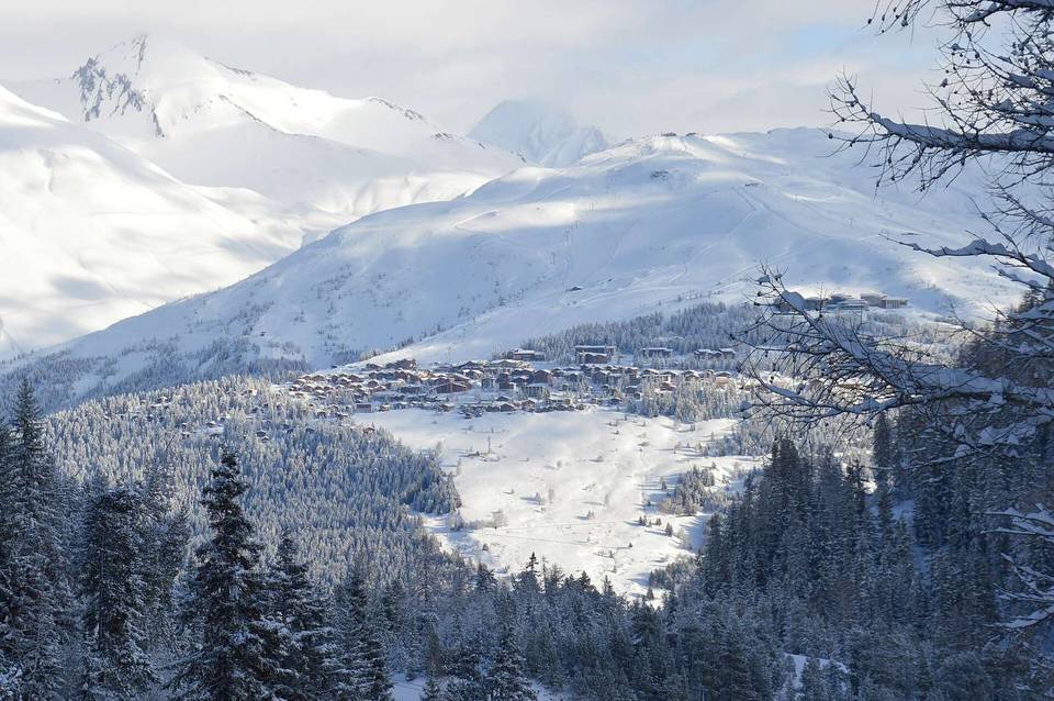
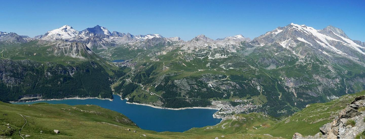
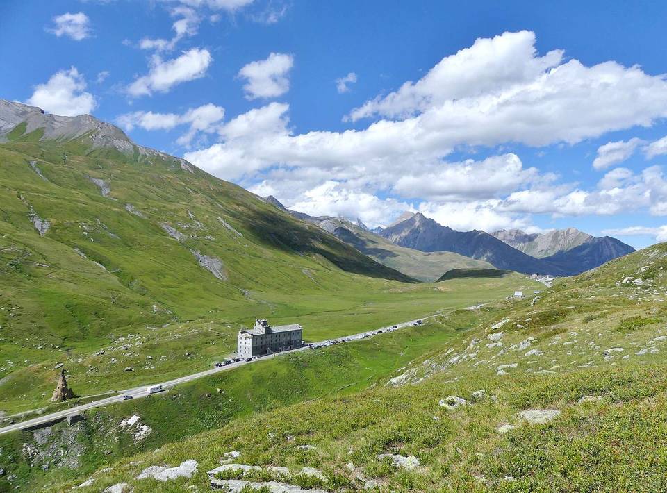
2 photographs from the road

Photo: Tiia Monto · CC BY-SA 4.0 · Wikimedia Commons · Photo: Rémih · CC BY-SA 4.0 · Wikimedia Commons · Photo: Florentc59 · CC0 · Wikimedia Commons

More rides from Bourg-Saint-Maurice