
Road · France
A mountainous 12 km road cycling route from Briançon through Le Fontenil, L'Envers de Fontenil and La Vachette, with 610 m of climbing over the Le Fontenil climb. Most of it (8.8 km) is on main roads without a cycle lane.
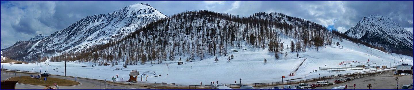
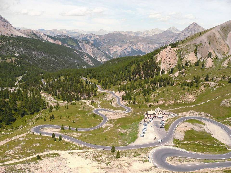
Starting in Briançon, this route heads towards Le Fontenil and L'Envers de Fontenil within the first 2.3 km. From here begins a 9.9 km climb gaining 573 m at an average gradient of 5.8%, reaching a maximum of 8.7%, culminating at the Col de Montgenèvre at 1851 m. The lowest point of the route is at 1277 m near the 2.2 km mark.
The surface is almost entirely paved (98%), with a small 2% gravel section. Most of the ride (8.8 km, 72%) is on main roads, including 8.6 km on the N 94, without cycle lanes. Minor roads account for 2.4 km and quiet streets 0.7 km. Climbing dominates 82% of the route with some descending and flat sections.
Facilities include several cafés, bakeries, supermarkets, and drinking water mostly near the start and finish. A notable stretch of 5.6 km from 6 km to 11.6 km lacks cafés, shops, or water. The Belvédère Panoramique Montgenèvre-Clarée viewpoint lies near 9.4 km. Bail out points and bike shops are near the start and finish in Briançon.
| Climb | Starts at | On this ride | Full ascent | Top on this ride |
|---|---|---|---|---|
| Le Fontenil climb | 2.3 km | 9.9 km · 573 m · 5.8 % · max 8.7 % | 9.9 km · 573 m · 5.8 % | 1851 m |
This is not a cycle-track route: 72% is on main roads without a cycle lane. Riders should be comfortable sharing the road with faster traffic.
No stretch is longer than 15 km without a café, shop or water. Along the route: 42 cafés and restaurants, 3 shops, 10 water points, 9 public toilets and 4 bike shops.