
Cyclists.com

Fedaia Pass from Caprile

14 km road cycling route1,048 m climbing1 hGPX

Caprile, Italy · Road

A mountainous 14 km road cycling route from Caprile through Pezzè, Troi and Rocca Pietore, with 1,048 m of climbing over the Caprile climb. Most of it (10.1 km) is on main roads without a cycle lane.

Routed from the map This classic road was traced on OpenStreetMap and measured against the terrain model; no member has recorded it yet. Ridden it? Add your recording and photos.

Download GPXMap

At a glance

Best for
Short, climbing-heavy rides for confident riders at ease in traffic
Distance
14 km
Point to point
Elevation gain
1,048 m
75 m per km
Riding time
1 h
moving time, estimated
Difficulty
Moderate
Bike
Road bike
from the mapped surface
Surface
Mostly paved
96% paved · 3% unpaved · 1% no data
Traffic
Mostly main roads
10.1 km on main roads without a cycle lane
Food & water
Regular
13 cafés and restaurants · 3 shops · 15 water points · 1 public toilet
Best months
Jun to Oct
Caprile climate, 10 years
Navigation
GPX download
free, no sign-in
Start → finish
Caprile

Map and elevation profile

Elevation profile

Total ascent
1,048 m
Distance
14 km
05001,0001,5002,0002,500m0 km51014 km2,049 m · highest, at 14.0 kmStartFinish

Route description

  1. Caprile
  2. Caprile climb
  3. Pezzèkm 1
  4. Troikm 2
  5. Rocca Pietorekm 2
  6. Col di Roccakm 4
  7. Bosco Verdekm 4
  8. Piankm 5
  9. Sottogudakm 6

The route starts in Caprile at 1001 m, passing through Savinèr di Laste, Pezzè, Troi and Rocca Pietore within the first 2 km. The road continues past several places including Sorarù, Col di Rocca, Bosco Verde and Sottoguda before reaching Malga Ciapela at 8.6 km. The climb is steady, averaging 7.5%, with sections up to 13.2% gradient, gaining 1048 m to reach 2049 m at Fedaia Pass after 14 km.

The surface is mainly paved (96%) with a small portion of gravel and unpaved sections (3%). Most of the route (10.1 km) is on main roads, specifically on SP641 for 8.7 km. Minor roads and quiet streets cover the remaining distance. There are no cycle lanes on the main roads. Refuelling is possible at the start in Caprile with a bakery and supermarket near km 0, and further cafés and restaurants such as La Montanara at 5.8 km and Baita Dovich at 9.9 km. There is a 2.7 km stretch without café, shop or water between 1.8 and 4.5 km.

Why ride this route?

  • Climbs the Caprile climb (14 km at 7.5 %).
  • Tops out at 2,049 m, 14 km in.

Highlights

  • Climb to Fedaia Pass (2049 m)
  • Passes Rocca Pietore at 1.8 km
  • SP641 main road for 8.7 km
  • Peaks Col dai Pióge and Col de la Mitraglia nearby

Along the route

Measured from the route line, the Copernicus elevation model and OpenStreetMap.

Places passed

  1. Sorarù 2.8 km
  2. Col di Rocca 3.7 km
  3. Bosco Verde 4.4 km
  4. Palue 5.2 km
  5. Pian 5.4 km
  6. Sottoguda 5.8 km
  7. Malga Ciapela 8.6 km

Climbs

Climbs in ride order: where each starts, what this ride climbs, and the full named ascent
ClimbStarts atOn this rideFull ascentTop on this ride
Caprile climb0 km14 km · 1047 m · 7.5 % · max 13.2 %14 km · 1047 m · 7.5 %2049 m

High point 2049 m at 14 km; low point 1001 m. Passes beneath Col dai Pióge, Col de la Mitraglia, Còl Maór.

On this ride: the part this route climbs, cut from its own elevation profile. Full ascent: the whole named climb, measured the same way on every ride that uses it (its climb page).

Caprile climb · full ascent, starts at 0 km

14 km at 7.5% · 1047 m
1,2001,4001,6001,8002,000m2.7%5.9%10%5.2%5.5%12%12%11%10%11%0 km1234567891011121313.9 km2,049 msteepest 11.6%
< 4%4 – 7%7 – 10%> 10%

Traffic, surface and gradient

Measured from OpenStreetMap along the track and the elevation profile.

This is not a cycle-track route: 72% is on main roads without a cycle lane. Riders should be comfortable sharing the road with faster traffic.

Roads
72% main road · 14% minor road · 11% quiet street · 3% other roads and tracks
Main roads
10.1 km on main roads without a cycle lane — likely busier
Main roads used
SP641 (9 km)
Surface
Predominantly paved: 96% is mapped as paved, 3% as unpaved or gravel.
Gradient
97% climbing · 1% descending · 2% flat
Steep sections
9.4 km over 5% · 6.7 km over 8% · 5.2 km over 10%

Food, water and services

Within a few hundred metres of the track, from OpenStreetMap. Opening hours change — treat this as where to look, not a promise.

No stretch is longer than 15 km without a café, shop or water. Along the route: 13 cafés and restaurants, 3 shops, 15 water points and 1 public toilet.
Food, water and shops in ride order

  1. 0 kmPanificio Levai · bakery · on the route
  2. 0.1 kmCoop · supermarket · on the route
  3. 0.1 kmFassa · pharmacy · on the route
  4. 0.6 kmDrinking water · on the route
  5. 4.5 kmDrinking water · 200 m off route
  6. 5.8 kmLa Montanara · restaurant · on the route
  7. 5.9 kmConvenience store · on the route
  8. 8.1 kmDrinking Fontain · drinking water · 80 m off route
  9. 8.8 kmToilets · 80 m off route
  10. 9.9 kmBaita Dovich Albergo & Ristorante · restaurant · on the route

Stay after this ride

  • Hotel Principe Marmolada · hotel · 3.3 km from the finish
  • Residence Edelweiss · hotel · 3.4 km from the finish
  • Tyrolia · hotel · 3.3 km from the finish
  • Albergo Malga Ciapela · hotel · 3.5 km from the finish
  • Malga Ciapela Marmolada · campsite · 3.3 km from the finish

Start and access

Starts at Caprile. Mapped within a short walk of the start and finish, from OpenStreetMap.

At the start

Food and coffee
Panificio Levai (40 m), Pizzeria Caffé da Giorgio (120 m), La Murada (990 m)
Shops
Coop (130 m)

At the finish

Food and coffee
Pizzeria Bar Ristorante La Cianel (520 m)

Know before you go

  • 10.1 km on main roads without cycle lanes
  • 2.7 km without café, shop or water from 1.8 to 4.5 km

Routes are for inspiration. Roads, surfaces and conditions change — check locally and ride within your limits.

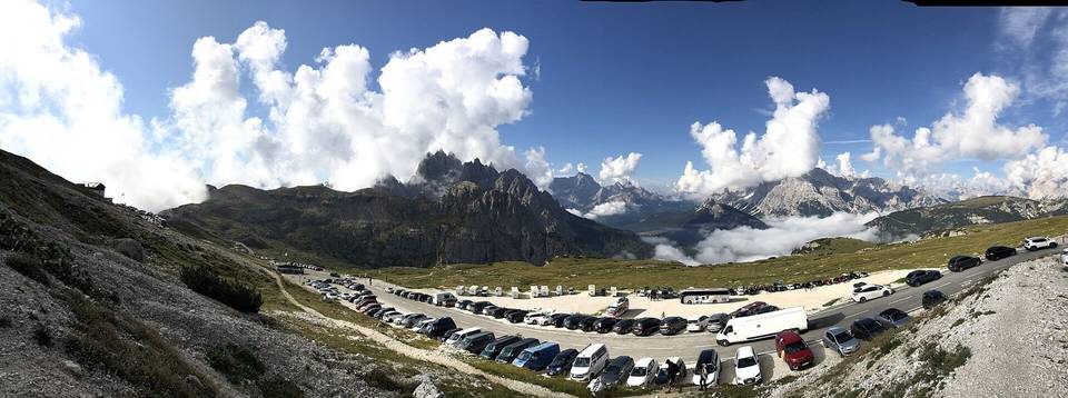
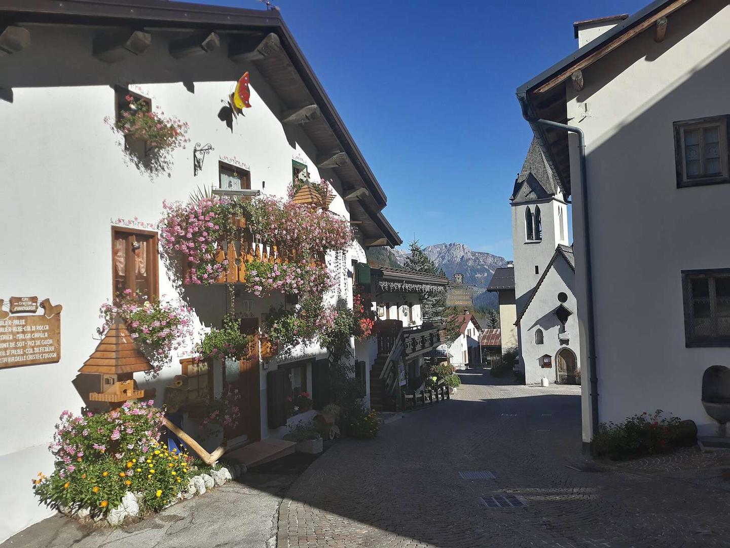
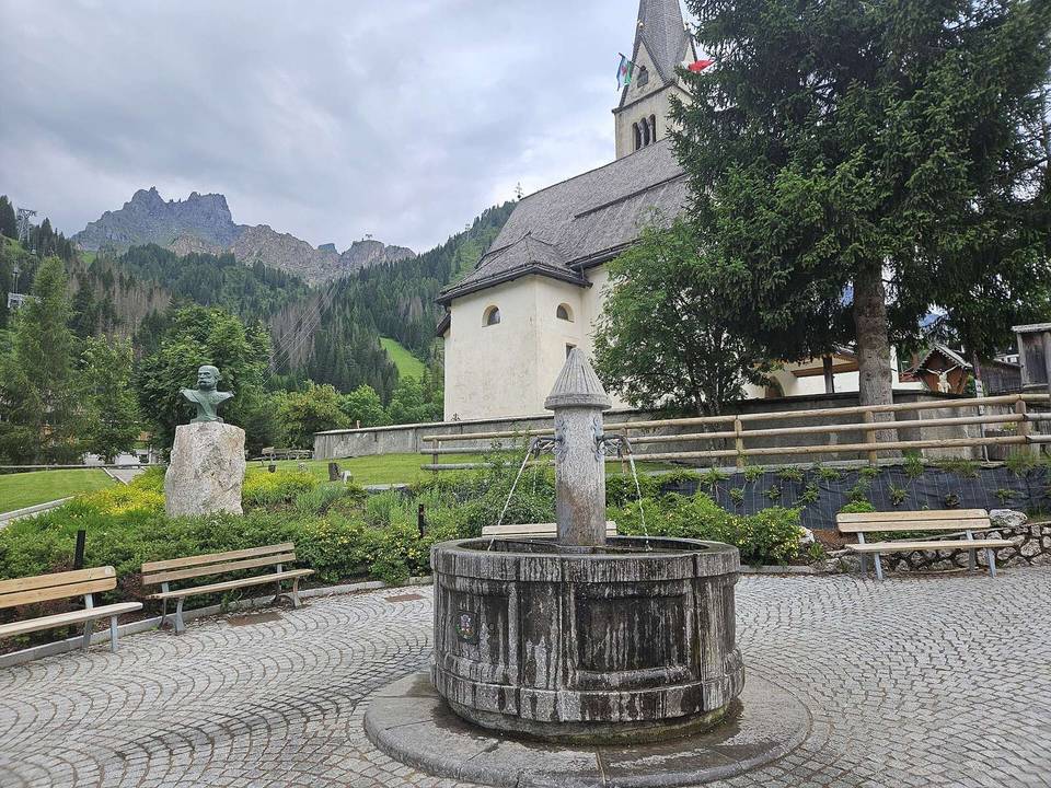
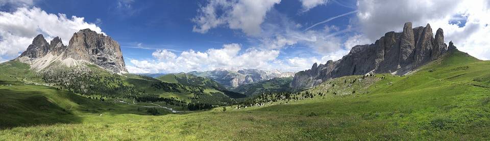
2 photographs from the road

Photo: Adert · CC BY-SA 4.0 · Wikimedia Commons · Photo: This Photo was taken by Wolfgang Moroder. Feel free to use my photos, but please mention me as the author and send me a message. This image is not in the public domain. Please respect the copyright protection. It may only be used according to the rules mentioned here. This specifically excludes use in social media, if applicable terms of the licenses listed here not appropriate. Please do not upload an updated image here without consultation with the Author. The author would like to make corrections only at his own source. This ensures that the changes are preserved.Please if you think that any changes should be required, please inform the author.Otherwise you can upload a new image with a new name. Please use one of the templates derivative or extract. · CC BY-SA 3.0 · Wikimedia Commons · Photo: Tiia Monto · CC BY-SA 3.0 · Wikimedia Commons

About this route

Route line
Routed on OpenStreetMap roads with bicycle routing, then measured like a recorded ride.
Elevation
Recalculated from the Copernicus GLO-90 terrain model every 50 m, not the device’s barometer.
Roads, surface, services
Measured along the line from OpenStreetMap extracts.
Best months
Ten years of ERA5 weather for Caprile (Open-Meteo).
GPX
Generated from the route line: track points only, no timestamps or personal data.
Page added
Page last updated

See something wrong with this ride?

Rides starting nearby