
Mixed · Italy
Stage 10 of 15 · Munich to Venice via Brenner, Lake Garda and Bologna← Stage 9Stage 11 →
Carpi Centro to Bologna
A flat 90 km road cycling route from Carpi Centro, Emilia-Romagna to Bologna through Quartirolo, Lesignana and San Cataldo, with 69 m of climbing.
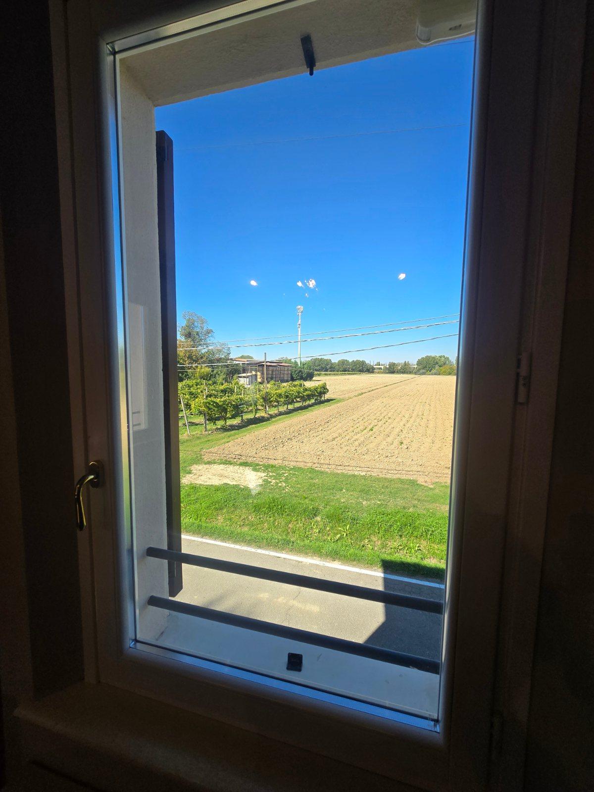
9 photographs from the road
At a glance
- Best for
- Flat, steady riding
- Distance
- 89.5 km
- Elevation gain
- 69 m
- Riding time
- 3½–5 hours
- Difficulty
- Moderate
- Bike
- Ridley Kanzo Fast
- Surface
- Mostly paved
- Traffic
- Mostly minor roads
- Food & water
- Longest gap 16 km
- Navigation
- GPX download
- Start → finish
- Carpi Centro → Bologna
Map and elevation profile
Elevation profile
- 69 m
- 90 km
What it was like to ride
Sleeping and eating on this stage
Where Marcus actually stayed and ate on the day, and what it was like.
Where we slept
Where we ate
La Baracchina
Route description
- Carpi Centro
- Quartirolo
- Lesignana
- San Cataldo
- Torrazzi
- Bomporto
- San Giovanni in Persiceto
- Santa Viola
- Malpighi
- Bologna
This route begins at Carpi Centro and travels 89.5km to Bologna. The ride passes through numerous places including Quartirolo at 1.7km, Modena at 23.4km, Sant'Agata Bolognese at 50km, and San Giovanni in Persiceto at 56.5km. The profile is mostly flat with 99% of the route on flat terrain, and just 0.1km above 5% gradient, gaining 69m in total elevation with the highest point at 75m near 83km.
Surfaces are predominantly paved (95%) with a small portion (3%) gravel or unpaved, plus some unmapped sections. The ride uses a mix of road types: about half on minor roads (43.3km), 15.7km on cycle paths, and 11.2km on main roads, with 11.4km of main roads lacking cycle lanes. Named roads include Ciclopedonale Modena-Bastiglia (6.8km). There is a longest stretch without a café, shop, or water for 15.6km between 2.5km and 18.1km.
Amenities along the way include cafés, bakeries, restaurants, supermarkets, and petrol stations near key towns such as Modena and Bologna. Bailout points with stations are available at Soliera Modenese, Modena, San Giovanni in Persiceto, and Bologna Borgo Panigale. At the start, facilities include restaurants and supermarkets; at the finish in Bologna, there are stations, supermarkets, restaurants, and cafés.
Highlights
- Passes Modena at 23km
- Cycle path Ciclopedonale Modena-Bastiglia (6.8 km)
- Highest point 75m near 83 km
- Longest stretch without café/shop/water: 15.6 km
Along the route
Places passed
Traffic, surface and gradient
Mostly minor roads and streets on the map; 11.4 km is on main roads without a cycle lane.
- Roads
- 50% minor road · 18% cycle path · 13% main road · 9% quiet street · 11% other roads and tracks
- Main roads
- 11.4 km on main roads without a cycle lane — likely busier
- Cycle paths
- 17 km on cycle paths or roads with a cycle lane
- Main roads used
- Ciclopedonale Modena-Bastiglia (7 km), Via Guercinesca est (3 km), Via molino di sotto (3 km), Via Canale Naviglio (3 km)
- Surface
- Predominantly paved: 95% is mapped as paved, 3% as unpaved or gravel and 3% has no surface data.
- Gradient
- 0% climbing · 1% descending · 99% flat
Food, water and services
The longest stretch without a café, shop or water is 16 km, from km 3 to 18. Along the route: 958 cafés and restaurants, 164 shops, 35 water points, 21 petrol stations, 20 public toilets and 41 bike shops.
Food, water and shops in ride order
- 0.5 kmDrinking water · 40 m off route
- 1.2 kmBar Gorizia · café · 100 m off route
- 23 kmParcheggio Porta Nord · bike rental · on the route
- 24.8 kmConad City · supermarket · 100 m off route
- 25.5 kmAF petroli · petrol station · on the route
- 37.6 kmBakery · 80 m off route
- 50.2 kmCoop · supermarket · 50 m off route
- 55.6 kmPasticceria Dora · café · 40 m off route
- 56.3 kmBear's Garage · bike shop · 140 m off route
- 56.5 kmToilets · 80 m off route
- 62 kmRistorante Pizzeria San Bartolo · restaurant · 50 m off route
- 73.5 kmShell · petrol station · 40 m off route
- 74.5 kmFarmacia Della Scala Dott.sse Abelli · pharmacy · 60 m off route
- 75.2 kmLidl · supermarket · 80 m off route
- 80.1 kmRibike · bike shop · 30 m off route
- 81.8 kmAntico Caffe Scaletto · café · on the route
- 83 kmCastiglione · pharmacy · on the route
- 85.7 kmMondo Cicli · bike shop · 320 m off route
Need to bail out?
- 9.5 km — Soliera Modenese (station), 1.0 km off route
- 23.2 km — Modena (station), 130 m off route
- 55.6 km — San Giovanni in Persiceto (station), 330 m off route
- 75.2 km — Bologna Borgo Panigale (station), 160 m off route
- 84.9 km — Bologna Zanolini (station), 60 m off route
Worth a stop
- 23 km — Le pietre per parlare (monument)
- 56.3 km — Planetario (attraction)
- 77 km — Monumento ai caduti (monument)
- 82 km — Torre Azzoguidi (viewpoint)
Stay after this ride
- Camplus Bononia · hotel · 40 m from the finish
- B&B Carlotta · guest house · 230 m from the finish
- ABITABO - Il Villaggio · hotel · 190 m from the finish
- B&b i Ravanelli · guest house · 530 m from the finish
- La Casina · hostel · 240 m from the finish
Start and access
At the start
- Food and coffee
- L'incontro (70 m), McDonald's (90 m), Giustospirito (80 m)
- Shops
- Lidl (650 m)
At the finish
- Trains and ferries
- Bologna San Vitale (260 m), Bologna Zanolini (840 m)
- Food and coffee
- Antico Borgo (200 m), Blue Lou Bar (370 m), Megu Lab (280 m)
- Shops
- Lidl (430 m)
Know before you go
- 11.4 km on main roads without cycle lane
- 15.6 km stretch without café, shop or water from 2.5 km to 18.1 km
- 3% of route on gravel or unpaved