Port de la Bonaigua from Esterri d'Àneu
- 16 km
- 1,122 m
- Moderate
- Paved
Elevation profile
- 1,122 m
- 16 km
Route overview
This route suits cyclists prepared for a sustained 16 km climb with over 1100 m elevation gain.
16 km climb to Port de la Bonaigua from Esterri d'Àneu, Spain, 1122 m climbing over mainly main roads.
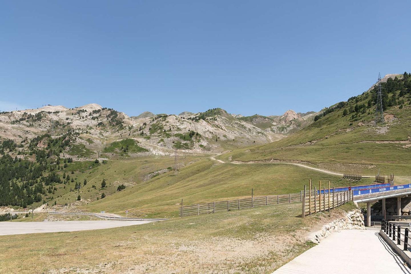
Starting at Esterri d'Àneu at 959 m, the route ascends 16.1 km to 2081 m at Port de la Bonaigua. The average gradient is 7%, with sections reaching 18.4%. The climb is mostly uphill, with 99% of the route gained in height and only 1% descending. Nearly 12 km involve gradients above 5%, including 3.7 km steeper than 8% and 2.1 km exceeding 10%. The surface is mostly paved (87%), but includes 12% gravel or unpaved, and 1% unmapped. Roads covered are mainly main road (71%), especially the C-28 for 11.3 km, with minor roads (15%) and some path (12%). There are 11.4 km on main roads without a cycle lane. Amenities near the start include drinking water, a supermarket, a pub, restaurants, a bar, and a bike shop. There is no café, shop, or water for a continuous 10.2 km stretch between 2.3 km and 12.5 km. At 12.5 km, there is a restaurant (Restaurant les Ares) nearby. At the finish, there are two restaurants, Cap del Port and el Refugi. The historic Pont romànic monument is close to the start, while La Peeter monument lies near the top.
Highlights
- Port de la Bonaigua at 2081 m
- Climb averaging 7%, max 18.4%
- Route follows C-28 main road
- Pont romànic monument near start
Along the route
Climbs
| Climb | Starts at | Length | Gain | Average | Max | Top |
|---|---|---|---|---|---|---|
| Esterri d'Àneu climb | 0 km | 16.1 km | 1122 m | 7 % | 18.4 % | 2081 m |
Esterri d'Àneu climb · starts at 0 km
What this ride is like
- Roads
- 71% main road · 15% minor road · 12% path
- Main roads
- 11.4 km on main roads without a cycle lane — likely busier
- Main roads used
- C-28 (11 km)
- Surface
- 87% paved · 12% gravel or unpaved
- Gradient
- 99% climbing · 1% descending · 0% flat
- Steep sections
- 11.7 km over 5% · 3.7 km over 8% · 2.1 km over 10%
Along the way
Food, water and shops
- 0 kmFont · drinking water · on the route
- 0 kmESIERRIBIKES · bike shop · 360 m off route
- 0 kmFarmàcia Escobar, Amalia - Brau, Rosa · pharmacy · 90 m off route
- 0.1 kmCerveseria · pub · on the route
- 0.3 kmCo Aliment · supermarket · on the route
- 12.5 kmRestaurant les Ares · restaurant · 100 m off route
Worth a stop
- 0 km — Pont romànic (monument, 960 m)
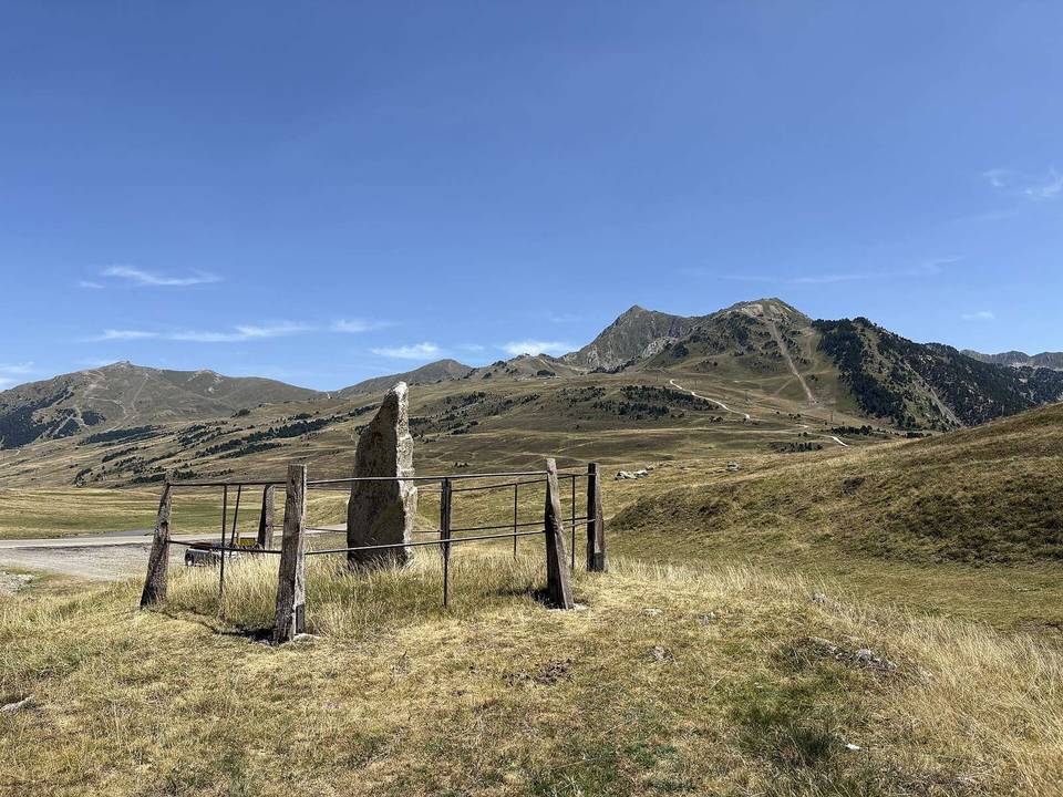
- 16.1 km — La Peeter (monument)
At the start
- Font · drinking water · 50 m
- Supermercat Carles · convenience store · 60 m
- Co Aliment · supermarket · 230 m
- Cerveseria · pub · 160 m
- L'Areny · restaurant · 40 m
At the finish
- Cap del Port · restaurant · 150 m
- el Refugi · restaurant · 380 m
Practical information
- Paved
- Point to point
- 1 h 09 min
- Jul to Oct — daily highs of 18–27 °C in those months
Know before you go
- 10.2 km with no café, shop or water from km 2.3 to 12.5
- 11.4 km on main roads without a cycle lane
- 12% gravel or unpaved surface sections