
Veleta from Granada
A mountainous 46 km road cycling route from Granada through Huétor Vega, Cájar and Barrio de la Vega, with 2,760 m of climbing over the Monachil climb and the Granada climb.
At a glance
- Best for
- Short, climbing-heavy rides for fit, experienced riders
- Distance
- 46.4 km
- Elevation gain
- 2,760 m
- Riding time
- 3 h 19 min
- Difficulty
- Hard
- Bike
- Road bike
- Surface
- Paved
- Best months
- Apr to Jun, Sep to Nov
- Navigation
- GPX download
- Start → finish
- Granada
Map and elevation profile
Elevation profile
- 2,760 m
- 46 km
Route description
- Granada
- Huétor Vega
- Cájar
- Barrio de la Vega
- Monachil climb
- Monachil
- Granada climb
The route starts in Granada at 671 m, passes through Huétor Vega, Cájar, Barrio de la Vega and Monachil by km 8.8. It climbs steadily on mainly paved roads with a mix including 27.3 km on minor roads and 10.4 km on main roads without cycle lanes. The first significant climb is 1.9 km at 4.5% gradient starting near km 5.4, then a longer climb of 6.6 km averaging 9.4% from km 8.6 around Monachil. After km 15, several shorter climbs of around 2-3 km follow before a final steep 24.5 km long climb averaging 7.3% to about 3356 m near Pico del Veleta at km 44.7.
The surface is 95% paved with some 5% gravel or unpaved sections. The route features a cycle lane or path along 3 km, and a quiet street for 1.4 km. Facilities to refuel include cafés, shops, water points and petrol stations near the start, with the longest stretch of 11.8 km without café, shop or water from km 22 to 33.8. Bailout points and bike shops are available within the first few kilometres.
Long named roads along the way include A-395 for 9 km and Carretera Antigua GR-420 for 8.4 km. The elevation rises from below 700 m almost continuously, with 33 km over 5% gradient including some sections exceeding 10% and a maximum slope of 14.7%.
Why ride this route?
- Climbs the Monachil climb (6.6 km at 9.4 %) and the Granada climb (24.4 km at 7.3 %).
- Tops out at 3,356 m, 44.7 km in.
Highlights
- Climb near Monachil (avg 9.4%, max 14%)
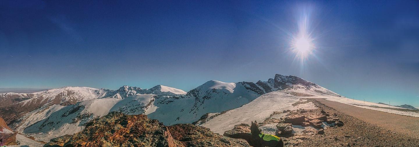
- Final climb to Pico del Veleta (3356 m)
- Longest stretch without café/shop/water: 11.8 km
- Starts in Granada at 671 m elevation
Along the route
Places passed
On the road
Climbs
| Climb | Starts at | On this ride | Full ascent | Top on this ride |
|---|---|---|---|---|
| Unnamed climb | 5.4 km | 1.9 km · 85 m · 4.5 % · max 6.9 % | — | 813 m |
| Monachil climb | 8.6 km | 6.6 km · 623 m · 9.4 % · max 14 % | 6.6 km · 623 m · 9.4 % | 1433 m |
| Unnamed climb | 15.3 km | 1.6 km · 47 m · 2.9 % · max 9.6 % | — | 1481 m |
| Unnamed climb | 17.5 km | 2.7 km · 129 m · 4.9 % · max 8.3 % | — | 1574 m |
| Granada climb | 20.3 km | 24.5 km · 1781 m · 7.3 % · max 14.7 % | 24.4 km · 1781 m · 7.3 % | 3356 m |
Monachil climb · full ascent, starts at 8.6 km
Granada climb · full ascent, starts at 20.2 km
Know before you go
- Longest stretch without café or shop for 11.8 km from km 22
- 10.4 km on main roads without cycle lane
- Sections with gradients over 10%, max 14.7%
- 5% of route is gravel or unpaved