
Road · France
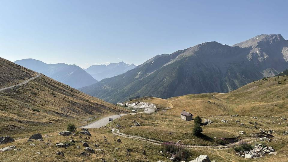
A mountainous 14 km road cycling route from Guillestre through Le Villaret, Risoul and Gaudissard, with 894 m of climbing over Guillestre climb (1873 m).
The route starts in Guillestre at 979 m and climbs 13.1 km gaining 893 m to a top elevation of 1873 m near Risoul. The climb begins just after 0.5 km and stays steep with an average gradient of 6.8% and sections up to 10.7%. The profile features mostly climbing (96%) and very little flat or descending.
Almost all the road is paved (99%) and 90% is on minor roads with about 1 km on quiet streets. The longest named road ridden is the D 186 for 9.2 km. There are 9.6 km on roads with posted speed limits of 80 km/h or more. Places en route include Le Villaret at 2 km, Risoul at 2.2 km, and Gaudissard at 4.8 km.
Available facilities near the start include cafés, bakeries, a bar, and water. There is no café, shop, or water for a stretch of 4.5 km from 5.4 to 9.9 km. Water is available at km 5.4 and 9.9. At the finish near Risoul there is a pub, convenience store, and several restaurants. No bail-out points are listed.
| Climb | Starts at | On this ride | Full ascent | Top on this ride |
|---|---|---|---|---|
| Guillestre climb (1873 m) | 0.5 km | 13.1 km · 893 m · 6.8 % · max 10.7 % | 13.1 km · 893 m · 6.8 % | 1873 m |