
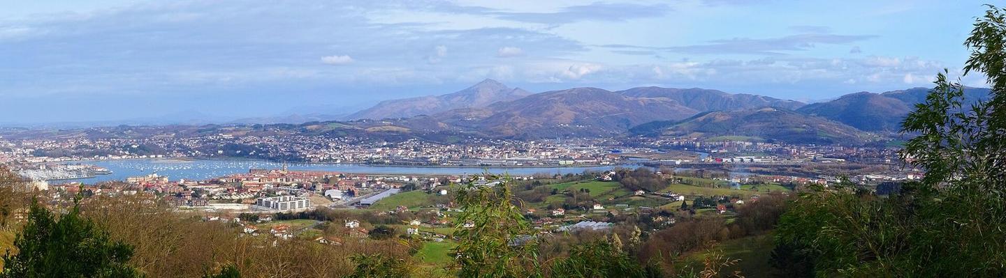
Jaizkibel from Hondarribia
A mountainous 4 km road cycling route from Hondarribia, with 185 m of climbing over the Hondarribia climb.
At a glance
- Best for
- Short, climbing-heavy rides
- Distance
- 4 km
- Elevation gain
- 185 m
- Riding time
- 17 min
- Difficulty
- Easy
- Bike
- Road bike
- Surface
- Paved
- Best months
- May to Oct
- Navigation
- GPX download
- Start → finish
- Hondarribia
Map and elevation profile
Elevation profile
- 185 m
- 4 km
Route description
- Hondarribia
- Hondarribia climb
Starting at Hondarribia (5 m), the route immediately begins a climb at 1 km that lasts for 2.7 km. The climb gains 180 m at an average gradient of 6.6%, with sections up to 12.2% gradient, peaking at 190 m at 3.7 km. The route is mostly on minor roads (83%) with 97% paved surface and 3% gravel or unpaved. Climbing accounts for 72% of the ride, with only 8% descending and 21% flat.
Along the route, facilities include a café slightly off route at 0 km and a supermarket at 0.3 km. Drinking water is available near the start and a water tap and toilets are found near 3.9 km. A bike shop and ferry point are close to the start. A stretch from 1.7 to 3.4 km has no café, shop, or water for 1.7 km.
Why ride this route?
- Climbs the Hondarribia climb (2.7 km at 6.6 %).
- Crosses a border: France and Spain.
Highlights
- Climb begins at 1 km and lasts 2.7 km
- Maximum gradient 12.2%
- Highest point 190 m at 3.7 km
- Route starts and finishes in Hondarribia
Along the route
Places passed· crosses into Spain
On the road
Climbs
| Climb | Starts at | On this ride | Full ascent | Top on this ride |
|---|---|---|---|---|
| Hondarribia climb | 1 km | 2.7 km · 180 m · 6.6 % · max 12.2 % | 2.7 km · 180 m · 6.6 % | 190 m |
Hondarribia climb · full ascent, starts at 1 km
Know before you go
- 1.7 km with no café, shop, or water from km 1.7 to 3.4
- 0.5 km with gradients over 10%
- Some gravel or unpaved surface (3%)