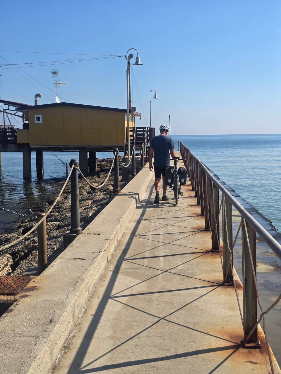
Mixed · Italy
Stage 12 of 15 · Munich to Venice via Brenner, Lake Garda and Bologna← Stage 11Stage 13 →
Imola to Casal Borsetti
A flat 75 km mixed-surface cycling route from Imola, Emilia-Romagna to Casal Borsetti through Campanella, San Prospero and Mordano, with 0 m of climbing. Mixed surface: 79% is mapped as paved and 18% as gravel or unpaved and 2% has no surface data.
At a glance
- Best for
- Flat, steady riding
- Distance
- 74.8 km
- Elevation gain
- 0 m
- Riding time
- 3–4 hours
- Difficulty
- Leisure
- Bike
- Road bike with sturdy tyres, or gravel bike
- Surface
- Mixed surface
- Traffic
- Mostly minor roads
- Food & water
- Regular
- Navigation
- GPX download
- Start → finish
- Imola → Casal Borsetti
Map and elevation profile
Elevation profile
- 0 m
- 75 km
What it was like to ride
Sleeping and eating on this stage
Where Marcus actually stayed and ate on the day, and what it was like.
Where we slept
Hotel Europa★★★★★
It was fine for our purposes. Large room with access to a large terrace that was useful for clothes drying. Breakfast was very reasonable.
Route description
- Imola
- Campanella
- San Prospero
- Mordano
- Villa San Martino
- San Potito
- Masiera
- Rossetta
- Sant'Alberto
- Casal Borsetti
Starting at Imola beneath 56 m altitude, the route heads east passing through places like Montebottone, Lugo, Fusignano and Alfonsine before reaching Marina Romea at 0 m. The profile is completely flat with zero elevation gain. The highest point is just 56 m at 0.4 km and it descends gradually to sea level near the end.
The surface is mainly paved (79%) with some gravel or unpaved sections covering 18% of the ride and a small unknown surface share. The ride uses a variety of road types: about 43% minor roads, 17% main roads without cycle lanes, 14% cycle paths, 13% quiet streets, 7% tracks, and a few paths and roads with cycle lanes. The longest main roads without cycle lanes total 12.5 km. Named roads include Via Destra Senio (6.5 km) and Via Provinciale Bagnara (6.1 km).
There are cafés and shops regularly along the route, including several supermarkets and bakeries. However, between km 43.8 and 53.9 there is a longest stretch of 10.1 km without café, shop or water. Bailout points with train stations exist at Imola, Lugo and Alfonsine. Toilets can be found at km 0.9 and 26.5. Petrol stations and bike shops are also available close to the start and mid-route.
Highlights
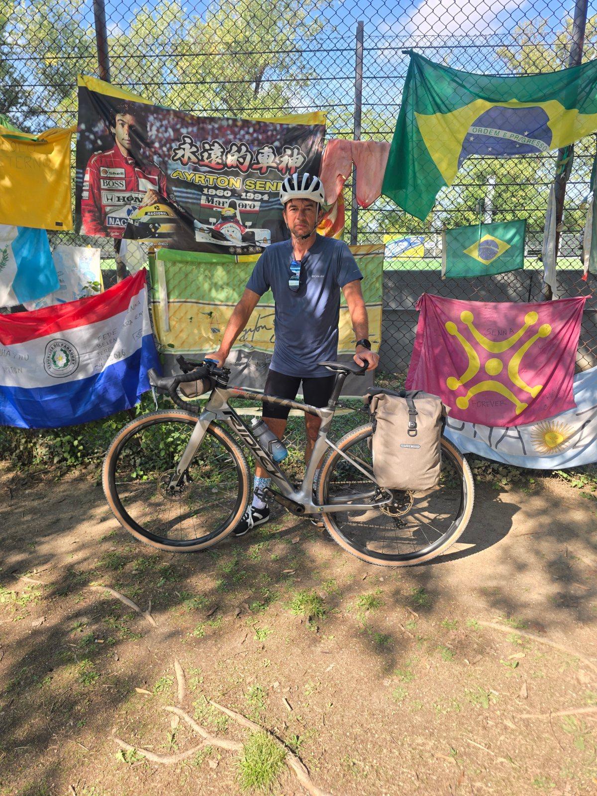
- Autodromo Enzo e Dino Ferrari near start
- Rocca di Bagnara castle at 16 km
- Valli di Comacchio viewpoint near 55 km
- Long stretch without cafe/shop/water: 43.8-53.9 km
Along the route
Places passed
Traffic, surface and gradient
Mostly minor roads and streets on the map; 12.5 km is on main roads without a cycle lane.
- Roads
- 43% minor road · 17% main road · 14% cycle path · 13% quiet street · 12% other roads and tracks · 1% unmapped
- Main roads
- 12.5 km on main roads without a cycle lane — likely busier
- Cycle paths
- 11.2 km on cycle paths or roads with a cycle lane
- Main roads used
- Via Destra Senio (7 km), Via Provinciale Bagnara (6 km), Via Mandriole (5 km), Via Rossetta (5 km)
- Surface
- Mixed surface: 79% is mapped as paved and 18% as gravel or unpaved and 2% has no surface data.
- Gradient
- 0% climbing · 0% descending · 100% flat
Food, water and services
No stretch is longer than 15 km without a café, shop or water. Along the route: 191 cafés and restaurants, 34 shops, 33 water points, 8 petrol stations, 6 public toilets and 22 bike shops.
Food, water and shops in ride order
- 0 kmConad · supermarket · 120 m off route
- 0.6 kmBiCi Ciclofficina · bike shop · 120 m off route
- 0.9 kmToilets · 80 m off route
- 3.6 kmTamoil · petrol station · 130 m off route
- 9.3 kmDrinking water · 50 m off route
- 15.8 kmCoop · supermarket · 60 m off route
- 16.1 kmBar del borgo · café · 90 m off route
- 20.9 kmBakery · 50 m off route
- 24.8 kmQ8 · petrol station · 30 m off route
- 26.5 kmToilets · 80 m off route
- 27.7 kmEuroSpin · supermarket · 110 m off route
- 42.6 kmDrinking water · on the route
- 43.6 kmEsso · petrol station · 70 m off route
- 56 kmBar Pasticceria "La Caffetteria" · café · 40 m off route
- 56 kmFarmacia Guerrini · pharmacy · 80 m off route
- 60.9 kmForno Merendi Cesare · bakery · 40 m off route
- 72.1 kmMarket Le Viole · supermarket · on the route
- 72.3 kmPharmacy · 30 m off route
Need to bail out?
- 0.6 km — Imola (station), 760 m off route
- 25.7 km — Lugo (station), 380 m off route
- 43.6 km — Alfonsine (station), 850 m off route
- 55.1 km — Ferry, 60 m off route
Worth a stop
- 1.6 km — Autodromo Enzo e Dino Ferrari (attraction)
- 16.1 km — Rocca di Bagnara (castle)
- 26.3 km — Palazzo del Consorzio (castle)
- 37.1 km — Sfondamento Linea Senio - 10 aprile 1945 (monument)
- 42.7 km — Monumento fontana e pigna (monument)
- 54.7 km — Valli di Comacchio (viewpoint)
Stay after this ride
- Hotel Europa · hotel · 20 m from the finish
- Bella Romagna · hotel · 370 m from the finish
- Camping Adria · campsite · 680 m from the finish
- Pineta · campsite · 1.5 km from the finish
Start and access
At the start
- Food and coffee
- Caffetteria Elise (120 m), XYZ Bar (120 m), Forno Le 3 Mani (120 m)
- Shops
- Conad (120 m), OrtoVerde (130 m)
At the finish
- Food and coffee
- Rosticceria Sale & Pepe (100 m), La Capannina sul Mare (100 m), San Marino Café (200 m)
- Shops
- Market Le Viole (190 m)
Know before you go
- 12.5 km on main roads without cycle lanes
- 10.1 km without café, shop or water from km 43.8 to 53.9
- 18% gravel or unpaved surface