Cyclists.com

Khawr Fakkan – Dibba Al-Fujairah

Khawr Fakkan, Hajar Mountains, United Arab EmiratesRoad

88 km
Distance
1,303 m
Elevation gain
Hard
Difficulty
Paved
Surface
Download GPXMap
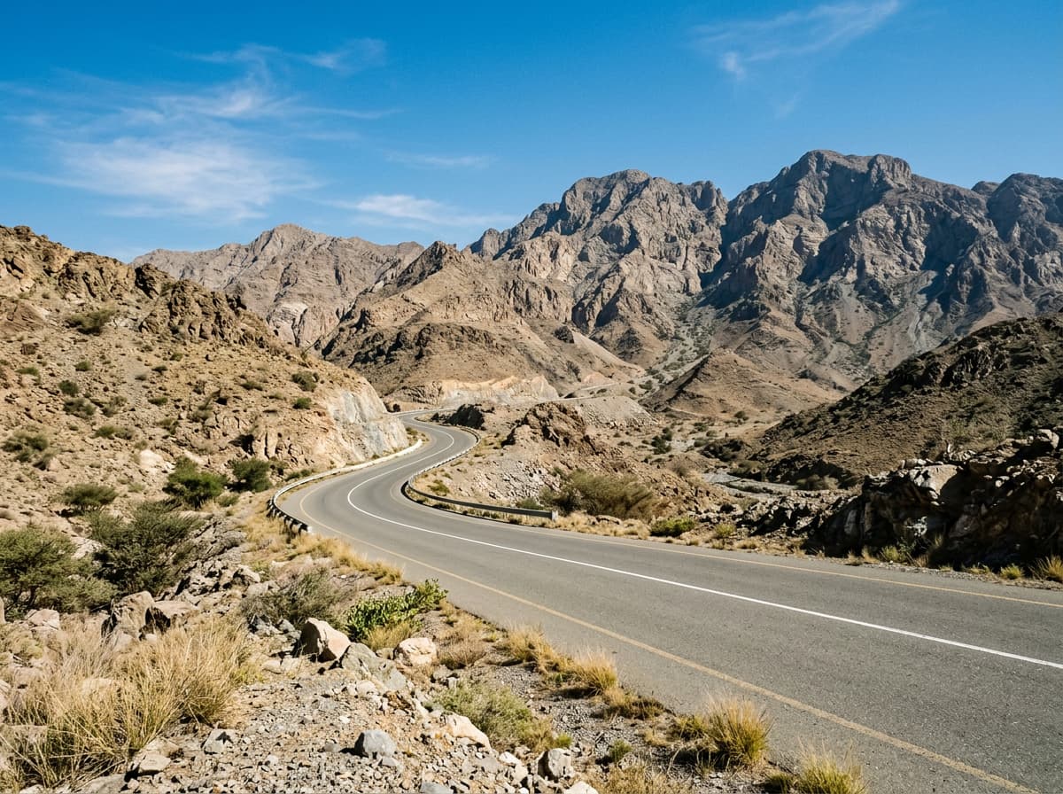
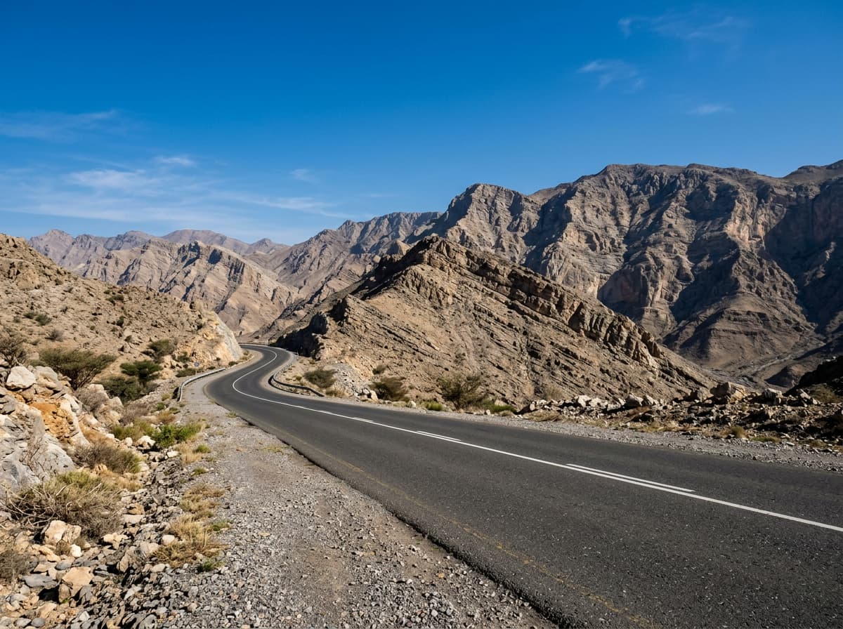
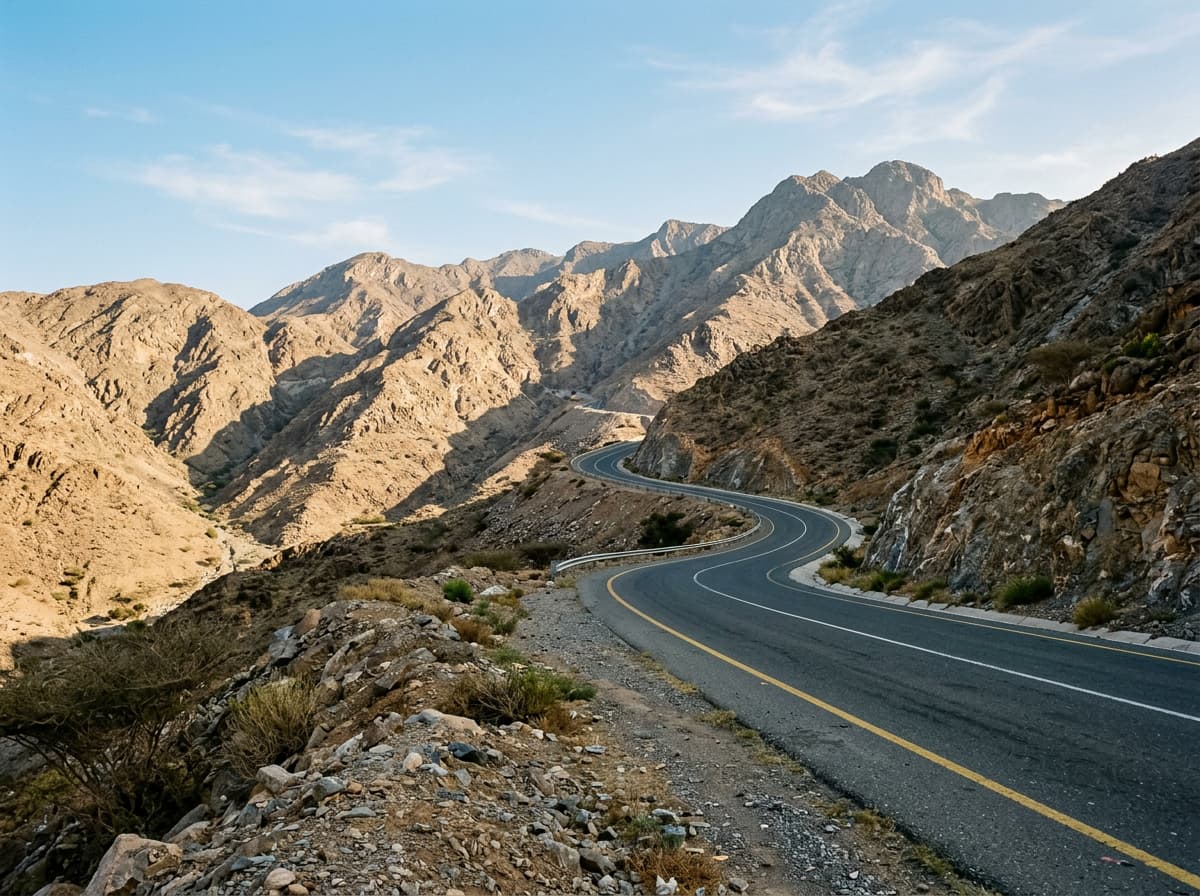
On the road: Khawr Fakkan – Dibba Al-Fujairah
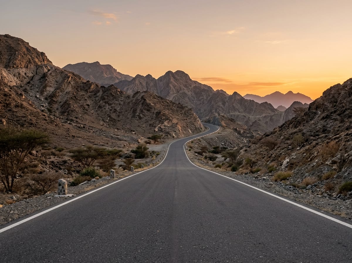
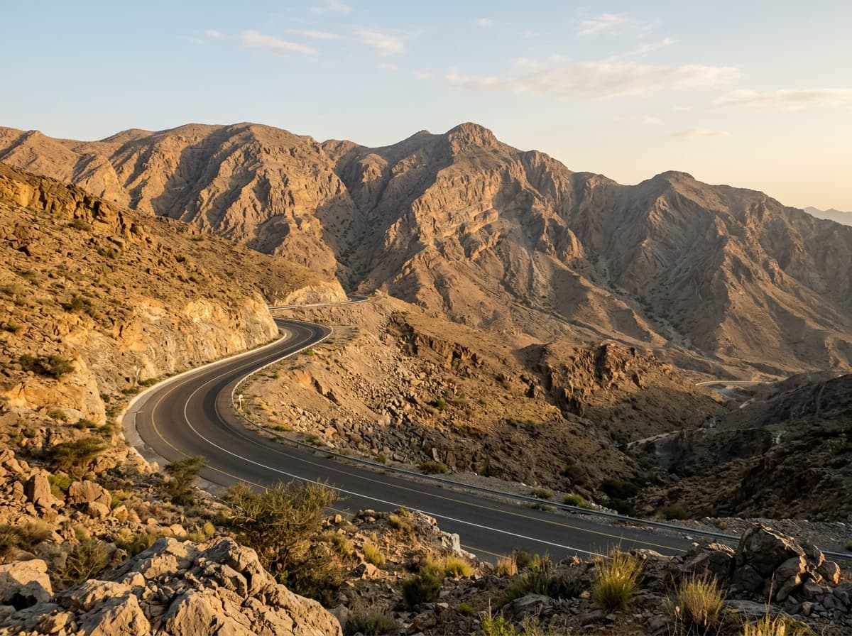
AI image

Elevation profile

Total ascent
1,303 m
Distance
88 km
0200400600800m0 km20406088 km616 m · highest, at 17.8 kmStartFinish · back at the start

Route overview

This ride suits cyclists prepared for long distance and significant climbing totaling 1303 m over 88 km.

An 88 km loop ride in the Hajar Mountains of UAE from Khawr Fakkan with 1303 m climbing.

The route starts in Khawr Fakkan and heads through Daftah at 4.3 km, beginning the main climbs early. The first climb starts at 3.6 km, gaining 255 m over 5.6 km with an average gradient of 4.6%, reaching 617 m elevation. After descending and passing Shis at 14.5 km, there is a second climb beginning at 13.9 km with a 7% average gradient over 3.3 km, reaching 622 m at the top. The road is mostly paved (98%), with a mix of minor roads (43% of route), major roads (42%) and a small share of main road (9%). The longest descent is 6.4 km starting at 17.9 km with a drop of 249 m. The route passes multiple places including Ghadf, Al Ghūnah, Al Khalabiya, and Yalah around the midpoint at 48.9 km, then continues through several smaller settlements before looping back to Khawr Fakkan.

Highlights

  • Peak near Jabal Daftah at 878 m
  • Climbs with gradients up to 17.4%
  • Longest descent of 6.4 km dropping 249 m
  • Passes 15 shops along the route

Along the route

Measured from the recorded track and OpenStreetMap.

Places passed

  1. Daftah 4.3 km
  2. Shis 14.5 km
  3. Ghadf 25.5 km
  4. Al Ghamarah 26.5 km
  5. Al Ghūnah 40.5 km
  6. Al Khalabiya 44.1 km
  7. Al Baha 45 km
  8. Al Tayyibah 46.8 km
  9. Yalah 48.9 km
  10. Al Jaroof 59.9 km
  11. Sal Al Asum 60.2 km
  12. Sidr 65 km
  13. Sha'biyyat Qabr al Yahūdī 68 km
  14. شعبيات قبر اليهودي 68 km
  15. Ash Shubah 68.6 km
  16. Masafi 85.5 km

Climbs

ClimbStarts atLengthGainAverageMaxTop
Daftah climb3.6 km5.6 km255 m4.6 %12.4 %617 m
Khor Fakkan climb13.9 km3.3 km233 m7 %17.4 %622 m
23.7 km4.8 km136 m2.8 %6.6 %497 m
Al Ghūnah climb40.5 km2.4 km175 m7.4 %14.2 %505 m
48.6 km1.5 km55 m3.6 %5.9 %518 m
60.5 km1.4 km55 m4.1 %7.1 %438 m
65.7 km2.7 km63 m2.3 %3.2 %437 m
68.6 km2.1 km80 m3.9 %6.5 %518 m

High point 623 m at 10.6 km; low point 328 m. Passes beneath Jabal Daftah, Jabal ar Rukham, Jibal Lahshamat.

Daftah climb · starts at 3.6 km

7.4 km at 4% · 298 m
350400450500550600m4.3%3.4%4.7%7.4%7.5%0 km1234567.3 km615 msteepest 7.5%
< 4%4 – 7%7 – 10%> 10%

Khor Fakkan climb · starts at 13.9 km

3.3 km at 7% · 233 m
450500550600m5.7%5.1%1.4%0 km1234.0 km610 msteepest 7.4%

Al Ghūnah climb · starts at 40.5 km

4.9 km at 4.8% · 235 m
300350400450500m2.0%1.8%3.4%3.2%5.7%3.4%2.3%0 km12345678.4 km506 msteepest 5.7%

What this ride is like

Measured from OpenStreetMap along the track and the elevation profile.

Roads
43% minor road · 42% major road · 9% main road · 5% quiet street
Main roads
44 km on main roads without a cycle lane — likely busier
Fast roads
27.2 km on roads with a limit of 80 km/h or more
Main roads used
Masafi-Dibba Road (14 km), Khorfakkan Road (11 km), Dibba Truck Road (8 km), Sheikh Maktoum Bin Rashid Al Maktoum Road (6 km)
Surface
Paved throughout
Gradient
29% climbing · 33% descending · 38% flat
Steep sections
7.6 km over 5% · 1.9 km over 8% · 1.2 km over 10%
Longest descent
6.4 km from 17.9 km, dropping 249 m

Along the way

Within a few hundred metres of the track, from OpenStreetMap. Opening hours change — treat this as where to look, not a promise.

Longest stretch without a café, shop or water: 54 km, from 32 km to 86 km.

Food, water and shops

  1. 0.7 kmAl Aswaq · supermarket · on the route
  2. 3.5 kmDrinking water · 180 m off route
  3. 10.7 kmEmarat · petrol station · 60 m off route
  4. 11.2 kmToilets · 70 m off route
  5. 12.1 kmGerard · café · on the route
  6. 13.9 kmSharjah Coop · supermarket · on the route
  7. 14.6 kmShis Pools · spring · 30 m off route
  8. 15.7 kmToilets · 60 m off route
  9. 16.7 kmAlsad Ice Cream - Branch 2 · ice cream · 50 m off route
  10. 30 kmADNOC · petrol station · 70 m off route
  11. 30.4 kmAl Dahreez · bakery · 40 m off route
  12. 31.7 kmSupermarket · 50 m off route
  13. 86.1 kmEmarat · petrol station · 270 m off route
  14. 86.1 kmMasafi Hospital · hospital · 140 m off route

At the start and finish

  • Al Aswaq · supermarket · 650 m

Practical information

Surface
Paved
Route shape
Loop
Riding time
3½–5 hours riding
Season
February and December with temperatures of 23 to 26°C.

Know before you go

  • Longest stretch without café, shop or water 54.4 km from km 31.7 to 86.1
  • 44 km on main roads without cycle lane
  • 27.2 km on roads with speed limits 80 km/h or more
  • Gravel or unpaved sections 1%

Routes are for inspiration. Roads, surfaces and conditions change — check locally and ride within your limits.

More rides from Khawr Fakkan