Cyclists.com

Les Deux Alpes from Le Bourg-d'Oisans

Le Bourg-d'Oisans, FranceRoad

Routed from the map This classic road was traced on OpenStreetMap and measured against the terrain model; no member has recorded it yet. Ridden it? Add your recording and photos.

19 km
Distance
961 m
Elevation gain
Moderate
Difficulty
Paved
Surface

Elevation profile

Total ascent
961 m
Distance
19 km
Elevation (m)05001,0001,5002,0000 km5 km10 km15 km19 kmHighest point1,659 m at 17.8 kmStart0 kmFinish19 km

Route overview

Cyclists suited to a steep, sustained 18.7 km climb with significant elevation gain.

18.7 km climb from Le Bourg-d'Oisans to Les Deux Alpes, gaining 961 m elevation.

Starting in Le Bourg-d'Oisans at 719 m elevation, the route heads past Le Vernis and Les Alberges. The main climb begins at Les Alberges (km 4.5) and continues for 13.2 km with 924 m of gain, averaging 7% and maxing at 18%. The road ascends to 1659 m near Les Deux Alpes. The surface is mostly paved (97%) with a small gravel section (3%). The ride includes 7.3 km on roads with cycle lanes, 5.6 km on minor roads, and 4.3 km on main roads without cycle lanes. Main roads ridden include D 1091 for 6.5 km, D 220, and D 213 each for 4.8 km. The profile has 67% climbing, 31% flat, and 2% descending, with nearly 10 km over 5% gradient and about 2 km over 10%. Cyclists can find food, water, shops, and bike shops at the start and finish. After 7.4 km, there is a 9.6 km stretch without shops, cafés, or water. The route passes near the peak Le Moutet about 11.5 km in and finishes at Les Deux Alpes. Toilets and bike shops are available near the start and the finish. The route includes paved surfaces, some stretches with cycle lanes, but also a few fast main roads.

Highlights

  • Climb averages 7%, max 18% gradient
  • Passes near Le Moutet (1175 m) at 11.5 km
  • Longest no café or water stretch: 9.6 km (km 7.4 to 17)
  • Finishes at Les Deux Alpes (1659 m)

Along the route

Measured from the recorded track and OpenStreetMap.

Places passed

  1. Le Vernis 2.4 km
  2. Les Alberges 4.5 km
  3. Le Clapier d'Auris 5.1 km
  4. La Rivoire 7.4 km
  5. Le Pénail 9.5 km
  6. Les Eymards 9.5 km
  7. Les Hugues 9.8 km
  8. La Baronière 10.2 km
  9. Les Touches 10.3 km
  10. La Rollandière 10.4 km
  11. Les Cros 10.4 km
  12. Le Ponteil 11.7 km
  13. Bons 13 km
  14. Mont-de-Lans 14.4 km

Climbs

ClimbStarts atLengthGainAverageMaxTop
Les Alberges climb4.5 km13.2 km924 m7 %18 %1659 m

High point 1659 m at 17.7 km; low point 719 m. Passes beneath Le Moutet.

Les Alberges climb · starts at 4.5 km

13.1 km at 7% · 924 m
8001000120014001600ELEVATION (M)7.0%12%10%7.3%2.7%4.5%6.9%7.3%7.4%7.6%6.3%0 km12345678910111213.0 kmDISTANCE (KM)Les Alberges climb · 1,658 mSTEEPEST 11.8%
< 4%4 – 7%7 – 10%> 10%

What this ride is like

Measured from OpenStreetMap along the track and the elevation profile.

Roads
39% road with cycle lane · 30% minor road · 23% main road · 4% quiet street
Main roads
4.3 km on main roads without a cycle lane — likely busier
Fast roads
4.8 km on roads with a limit of 80 km/h or more
Cycle paths
7.3 km on cycle paths or roads with a cycle lane
Main roads used
D 1091 (7 km), D 220 (5 km), D 213 (5 km)
Surface
Paved throughout
Gradient
67% climbing · 2% descending · 31% flat
Steep sections
9.8 km over 5% · 4.7 km over 8% · 2 km over 10%

Along the way

Within a few hundred metres of the track, from OpenStreetMap. Opening hours change — treat this as where to look, not a promise.

Food, water and shops

  1. 0 kmle pain perdu · bakery · on the route
  2. 0 kmPharmacie Lageon · pharmacy · 50 m off route
  3. 0.1 kmDrinking water · on the route
  4. 0.1 kmBike Store 21 · bike shop · on the route
  5. 0.4 kmIntermarché · petrol station · 40 m off route
  6. 0.5 kmIntermarché · supermarket · 130 m off route
  7. 0.8 kmToilets · on the route
  8. 5.2 kmToilets · on the route
  9. 7.4 kmDrinking water · on the route
  10. 17.2 kmCarbel · petrol station · on the route
  11. 17.6 kmGravity Bike - Guides 2 Alpes · bike shop · on the route
  12. 18.1 kmToilets · on the route
  13. 18.1 kmPharmacie du glacier · pharmacy · 30 m off route
  14. 18.3 kmCarrefour Montagne · supermarket · on the route
  15. 18.4 kmYonder Cafe · café · on the route
  16. 18.4 kmDrinking water · 40 m off route

Worth a stop

  • 12.4 kmPorte romaine de Bons (archaeological site)
  • 18.1 kmAIR BAG PARK (attraction)

At the start

  • le pain perdu · bakery · 20 m
  • Cycles et Sports · bike shop · 50 m
  • Bike Store 21 · bike shop · 130 m
  • Café de Paris · café · 70 m
  • Pain Bologne · bakery · 80 m

At the finish

  • Yonder Cafe · café · 200 m
  • Les Petits Caprices d'Émilie Paris · patisserie · 80 m
  • The Polar Bear Pub · pub · 20 m
  • Sherpa · supermarket · 110 m
  • Carrefour Montagne · supermarket · 260 m

Stay after this ride

  • Le Chamois · hotel · 40 m from the finish
  • Le Crêt · hotel · 70 m from the finish
  • Le provençal · hotel · 80 m from the finish
  • Le Cairn · hotel · 160 m from the finish
  • chalets Grizzly · guest house · 170 m from the finish

Practical information

Surface
Paved
Route shape
Point to point
Riding time
1 h 20 min

Know before you go

  • 9.6 km without café, shop or water from 7.4 km
  • 4.3 km on main roads without cycle lane
  • 4.8 km on roads with 80 km/h+ limits
  • Maximum gradient reaches 18%

Routes are for inspiration. Roads, surfaces and conditions change — check locally and ride within your limits.

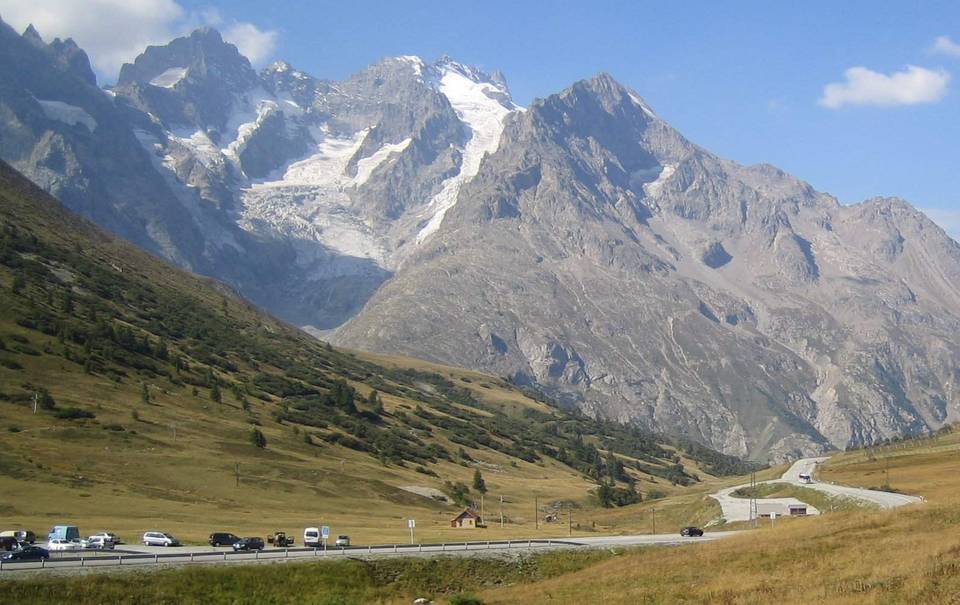
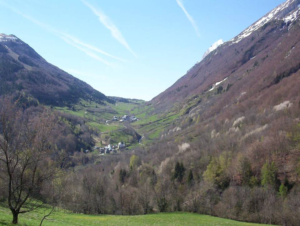
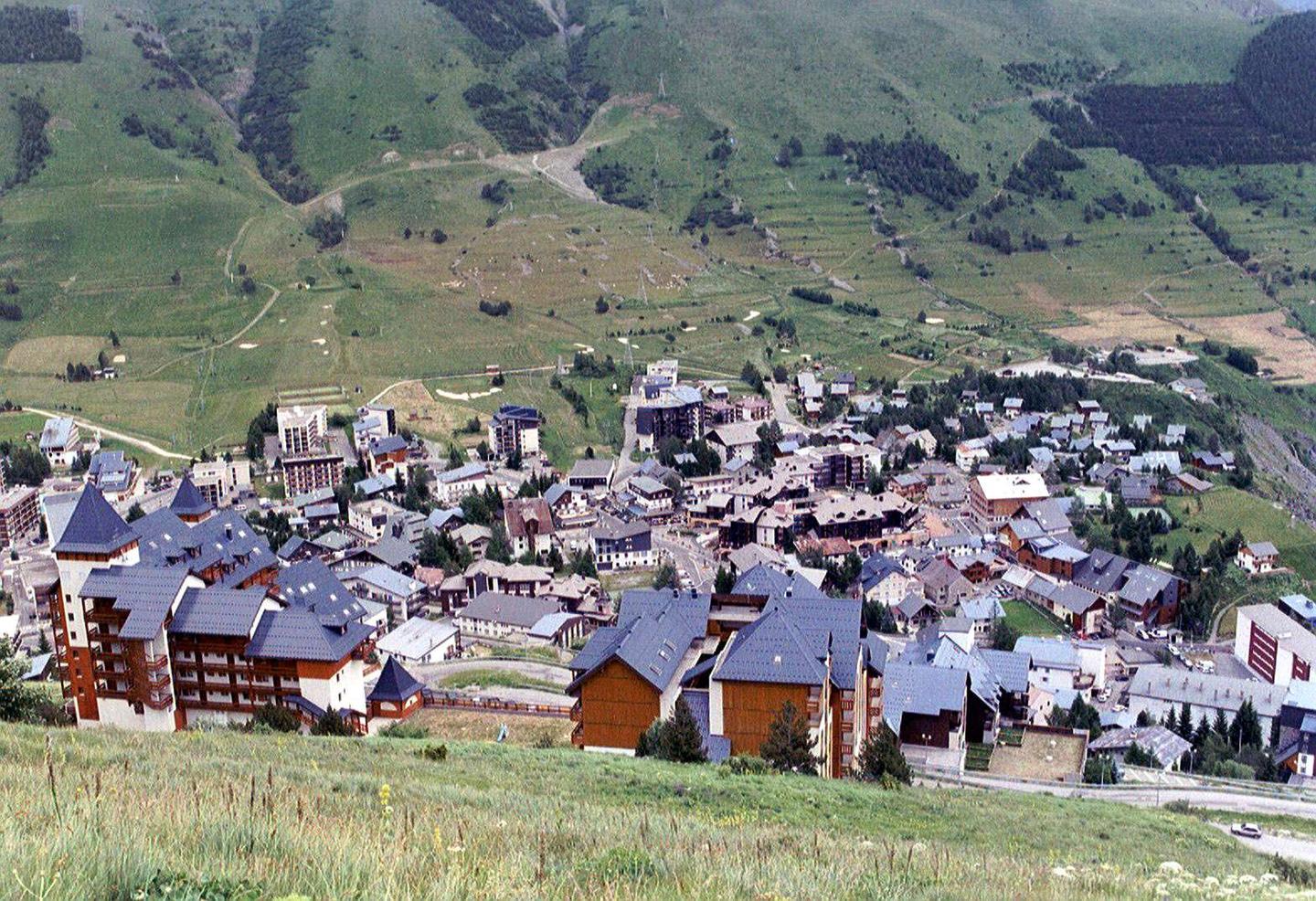
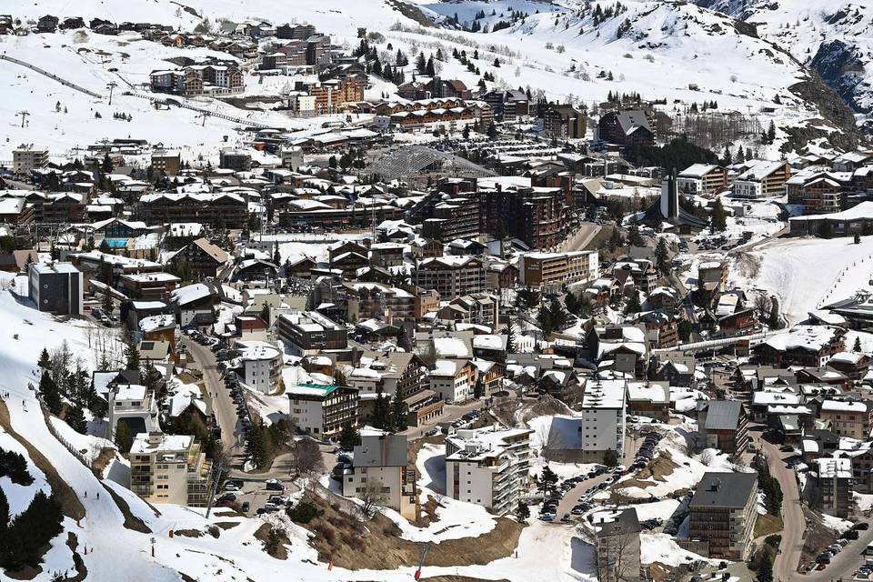
2 photographs from the road

Photo via Wikimedia Commons · CC BY-SA 3.0 · Photo: Data 2 Alpes · CC BY-SA 4.0 · Wikimedia Commons · Photo: Gilles Perréal · CC BY-SA 3.0 · Wikimedia Commons

More rides from Le Bourg-d'Oisans