Cyclists.com

Col de Braus from L'Escarène

L'Escarène, FranceRoad

Routed from the map This classic road was traced on OpenStreetMap and measured against the terrain model; no member has recorded it yet. Ridden it? Add your recording and photos.

10 km
Distance
641 m
Elevation gain
Easy
Difficulty
Paved
Surface

Elevation profile

Total ascent
641 m
Distance
10 km
Elevation (m)02004006008001,0001,2000 km2.5 km5 km7.5 km10 kmHighest point990 m at 10.1 kmStart0 kmFinish10 km

Route overview

This ride suits cyclists prepared for a sustained 10 km climb with moderate to steep gradients.

A 10.4 km climb from L'Escarène to Col de Braus in France with 641 m elevation gain.

The route starts at L'Escarène at 348 m and climbs continuously for just over 10 km to reach 989 m at Col de Braus. The climb gains 641 m at an average gradient of 6.4%, with the steepest sections reaching 9.6%. The profile features mostly climbing with 60% of the elevation gained in the first half, and a negligible amount of descending or flat sections. The surface is primarily paved, covering 95% of the route, with a small portion (3%) on gravel or unpaved. Nearly all of the route, 9.7 km, is on a main road (mostly D 2204), and this entire stretch lacks a cycle lane. There are 7.9 km on roads with posted speed limits of 80 km/h or more. At the start in L'Escarène, there is a bakery (Pain D'Aqui), a Spar convenience store, a bar, toilets, and a station. Drinking water is accessible at 1.9 km and again at 6.2 km. The longest stretch without café, shop, or water is 4.3 km from 1.9 km to 6.2 km. Near the route at 4.2 km is the Cascade de Redebraus attraction. A bike repair stand is located at 10.3 km, close to the top of the climb. There are bailout points available at L'Escarène station.

Highlights

  • Climb of 641 m over 10.1 km
  • Cascade de Redebraus at 4.2 km
  • Mont Brec nearby at 9 km
  • Bike repair stand near the top at 10.3 km

Along the route

Measured from the recorded track and OpenStreetMap.

Climbs

ClimbStarts atLengthGainAverageMaxTop
L'Escarène climb0 km10.1 km641 m6.4 %9.6 %989 m

High point 989 m at 10.1 km; low point 348 m. Passes beneath Mont Brec.

L'Escarène climb · starts at 0 km

10.1 km at 6.4% · 641 m
400500600700800900ELEVATION (M)8.4%6.2%5.4%5.9%6.7%7.0%7.6%5.7%0 km12345678910.1 kmDISTANCE (KM)L'Escarène climb · 989 mSTEEPEST 8.4%
< 4%4 – 7%7 – 10%> 10%

What this ride is like

Measured from OpenStreetMap along the track and the elevation profile.

Roads
93% main road · 6% path
Main roads
9.7 km on main roads without a cycle lane — likely busier
Fast roads
7.9 km on roads with a limit of 80 km/h or more
Main roads used
D 2204 (10 km)
Surface
Paved throughout
Gradient
97% climbing · 1% descending · 2% flat
Steep sections
8.2 km over 5% · 1.8 km over 8%

Along the way

Within a few hundred metres of the track, from OpenStreetMap. Opening hours change — treat this as where to look, not a promise.

Food, water and shops

  1. 0.2 kmPain D'Aqui · bakery · 170 m off route
  2. 0.2 kmSpar · convenience store · on the route
  3. 0.3 kmToilets · on the route
  4. 1.9 kmDrinking water · on the route
  5. 6.2 kmDrinking water · on the route
  6. 10.3 kmRepair stand · 110 m off route

Need to bail out?

  • 0.6 kmL´Escarène (station), 270 m off route

Whether bikes are carried depends on the service — check before relying on it.

Worth a stop

  • 4.2 kmCascade de Redebraus (attraction)

At the start

  • Spar · convenience store · 230 m
  • Pain D'Aqui · bakery · 240 m
  • Bar PMU · bar · 230 m
  • L´Escarène · station · 690 m

Stay after this ride

  • Le Domaine des Belles Étoiles · guest house · 650 m from the finish
  • Mas fleuri · campsite · 2.5 km from the finish
  • Gîte des Remparts · guest house · 3.2 km from the finish
  • La ferme des cailletiers · guest house · 3.6 km from the finish
  • Domaine de Sainte-Madeleine · campsite · 3.0 km from the finish

Practical information

Surface
Paved
Route shape
Point to point
Riding time
45 min

Know before you go

  • 9.7 km on main roads without cycle lane
  • 7.9 km on roads with 80 km/h+ speed limit
  • 4.3 km longest stretch without café, shop or water between 1.9 km and 6.2 km
  • 1.8 km with gradients over 8%

Routes are for inspiration. Roads, surfaces and conditions change — check locally and ride within your limits.

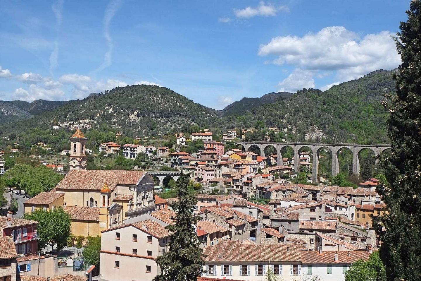
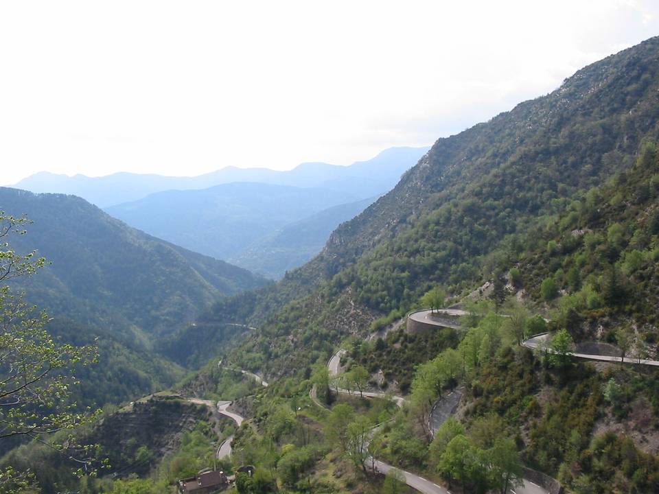
2 photographs from the road

Photo: Lorenzo.cerisola at Italian Wikipedia · Public domain · Wikimedia Commons · Photo: Agence Rol · Public domain · Wikimedia Commons