Cyclists.com

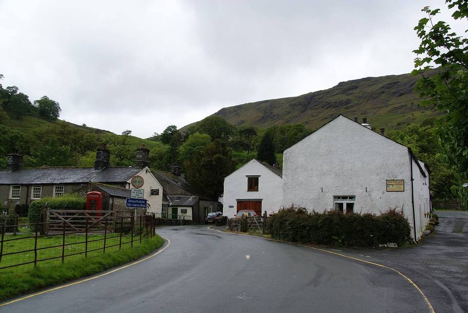
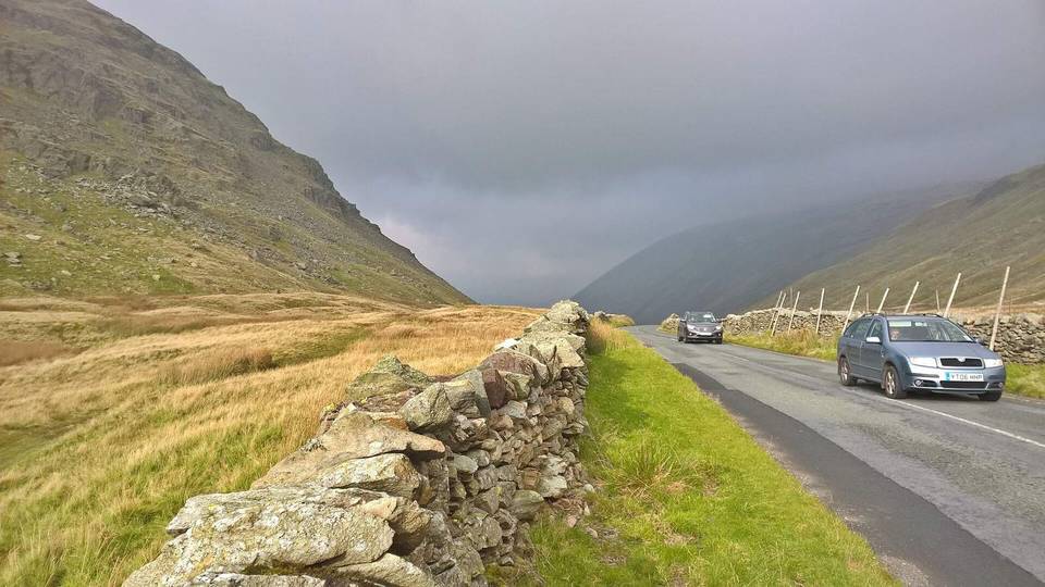
Wrynose Pass from Little Langdale

Little Langdale, United KingdomRoad

Routed from the map This classic road was traced on OpenStreetMap and measured against the terrain model; no member has recorded it yet. Ridden it? Add your recording and photos.

4 km
Distance
274 m
Elevation gain
Easy
Difficulty
Paved
Surface

Elevation profile

Total ascent
274 m
Distance
4 km
Elevation (m)01002003004005000 km1 km2 km3 km4 kmHighest point387 m at 3.7 kmStart0 kmFinish4 km

Route overview

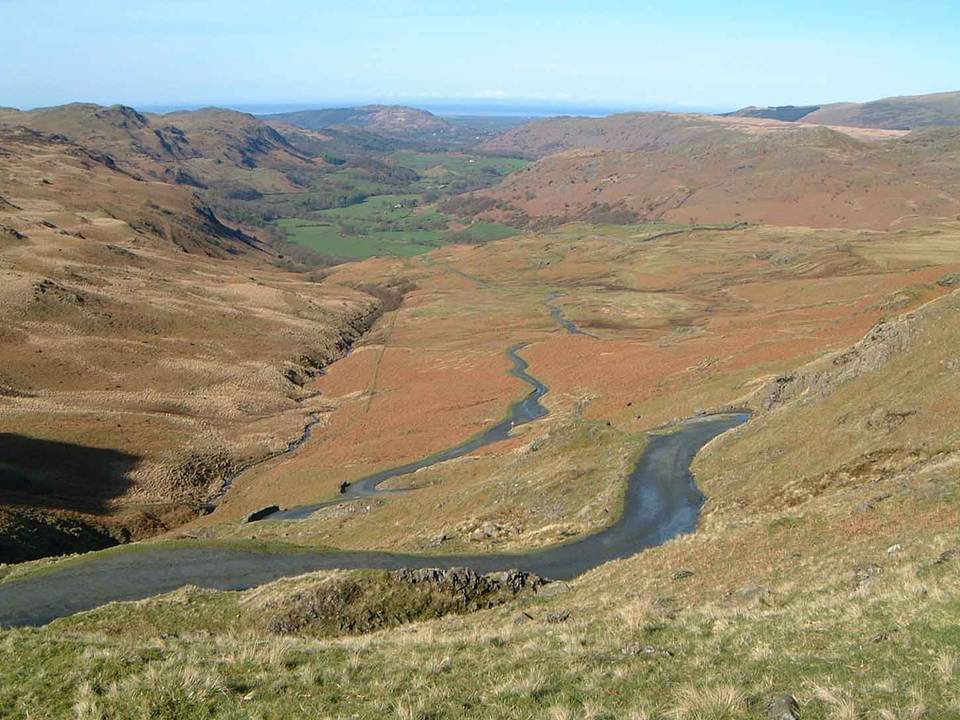
This short but steep climb suits riders prepared for a challenging 4 km ascent with sustained gradients over 10%.

A 4.1 km point-to-point climb from Little Langdale up Wrynose Pass in the UK with 274 m elevation gain.

The ride starts in Little Langdale at 112 m elevation and features a continuous climb beginning at 1.1 km lasting 2.6 km. This ascent gains 273 m at an average gradient of 10.4% with a maximum gradient of 17.2% and reaches its summit at 386 m at 3.7 km. The route is entirely on paved minor roads and includes 1 km on roads with speed limits of 80 km/h or more. Around 65% of the ride is climbing, with steep sections over 10%, including a 500 m stretch at 17% gradient at 2.6 km. No services such as cafés, shops, water, toilets, or bike shops are available along the 4.1 km route. The longest stretch without any amenities is the full distance from start to finish. The archaeological site Ting Mound lies just off route at 1.3 km and Castle Howe is a nearby peak at 1.4 km.

Highlights

  • Climb up Wrynose Pass
  • Starts in Little Langdale
  • Ting Mound archaeological site nearby
  • Peak Castle Howe near the road

Along the route

Measured from the recorded track and OpenStreetMap.

Climbs

ClimbStarts atLengthGainAverageMaxTop
Little Langdale climb1.1 km2.6 km273 m10.4 %17.2 %386 m

High point 386 m at 3.7 km; low point 112 m. Passes beneath Castle Howe.

Little Langdale climb · starts at 1.1 km

2.6 km at 10.5% · 273 m
150200250300350ELEVATION (M)16%7.1%0 km122.6 kmDISTANCE (KM)Little Langdale climb · 386 mSTEEPEST 15.5%
< 4%4 – 7%7 – 10%> 10%

What this ride is like

Measured from OpenStreetMap along the track and the elevation profile.

Roads
103% minor road
Fast roads
1 km on roads with a limit of 80 km/h or more
Surface
Paved throughout
Gradient
65% climbing · 5% descending · 30% flat
Steep sections
2.4 km over 5% · 1.9 km over 8% · 1.3 km over 10% · steepest 500 m averages 17% at 2.6 km

Along the way

Within a few hundred metres of the track, from OpenStreetMap. Opening hours change — treat this as where to look, not a promise.

Worth a stop

  • 1.3 kmTing Mound (archaeological site)

Stay after this ride

  • Fell Foot · guest house · 2.5 km from the finish
  • Great Langdale Campsite · campsite · 3.5 km from the finish

Practical information

Surface
Paved
Route shape
Point to point
Riding time
18 min

Know before you go

  • 4.1 km with no café, shop or water
  • 1 km on main roads with 80 km/h speed limit
  • Steep sustained gradient up to 17% over 500 m

Routes are for inspiration. Roads, surfaces and conditions change — check locally and ride within your limits.