
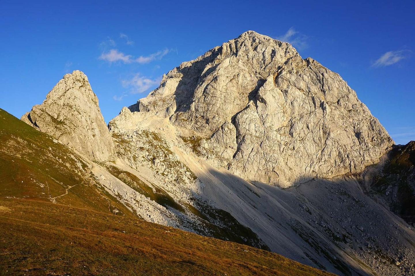
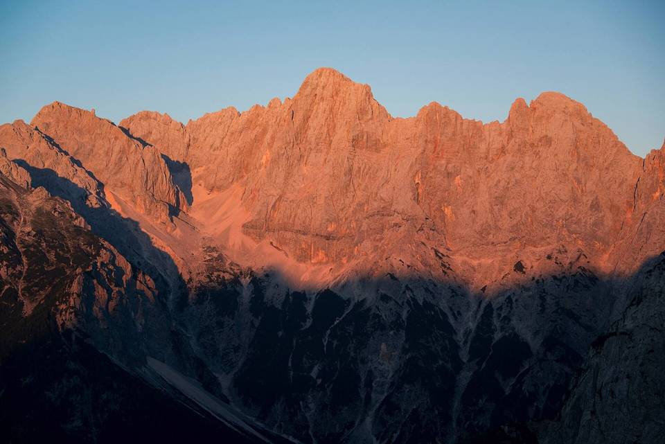
Mangart from Log pod Mangartom
- 18 km
- 1,945 m
- Hard
- Paved
Elevation profile
- 1,945 m
- 18 km
Route overview
A climb for riders prepared for a steep and sustained ascent over 18 km.
An 18 km climb from Log pod Mangartom to 2599 m Mangart in Slovenia's mountains.
The route starts at Log pod Mangartom (653 m) and climbs 1945 m over 17.7 km to reach 2599 m near Mangart. The route passes the places Gorenji Log at 0.1 km and Strmec na Predelu at 3.6 km. It is largely climbing (96%), with steep gradients averaging 11% and reaching a maximum of 42.4%, making for a demanding ascent. The climb is mostly paved (84%), with 16% gravel or unpaved sections and about 1% unmapped. The route uses 9.4 km of minor roads, 5.1 km of main roads including sections of roads 902 and 203, and 2.8 km of paths. There are 5.1 km on main roads without a cycle lane, including 2.9 km on roads with speed limits of 80 km/h or higher. Along the route, there is a longest stretch of 9.7 km without a café, shop, or water from km 3.7 to 13.4. Water points are available just after the start at 0.2 km, at 3.7 km, and again at 13.4 km. Toilets are located at 5.2 km. The route passes near peaks including Strmška glava (972 m) at 3.5 km, Vrh Ilovca (1489 m) at 9 km, and Monte Bucher grande / Skala (2133 m) at 12.5 km, with the final high section beneath Mangart (2679 m). The restaurant Restavracija Mangrt lies close to the start.
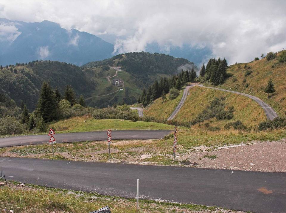
Highlights
- Mangart viewpoint at 15.6 km
- Strmška glava peak at 3.5 km
- Vrh Ilovca peak at 9 km
- Monte Bucher grande / Skala peak at 12.5 km
What this ride is like
- Roads
- 53% minor road · 29% main road · 16% path
- Main roads
- 5.1 km on main roads without a cycle lane — likely busier
- Fast roads
- 2.9 km on roads with a limit of 80 km/h or more
- Main roads used
- 902 (9 km), 203 (5 km)
- Surface
- 84% paved · 16% gravel or unpaved
- Gradient
- 96% climbing · 1% descending · 3% flat
- Steep sections
- 16.6 km over 5% · 13.1 km over 8% · 6.7 km over 10%
Along the way
Food, water and shops
- 0 kmRestavracija Mangrt (Pr Mêrtnə) · restaurant · 60 m off route
- 0.2 kmDrinking water · on the route
- 3.7 kmDrinking water · on the route
- 5.2 kmToilets · on the route
- 13.4 kmDrinking water · 150 m off route
Worth a stop
- 3.5 km — Strmška glava (peak, 972 m)
- 9 km — Vrh Ilovca (peak, 1489 m)
- 12.5 km — Monte Bucher grande / Skala (peak, 2133 m)
- 15.6 km — Mangart (viewpoint, 2055 m)
At the start
- Restavracija Mangrt (Pr Mêrtnə) · restaurant · 60 m
Practical information
- Paved
- Point to point
- 1 h 17 min
Know before you go
- 9.7 km without café, shop or water from km 3.7 to 13.4
- 5.1 km on main roads without cycle lane
- 2.9 km on roads with speed limits 80 km/h or more
- 16% gravel or unpaved surfaces
- Maximum gradient 42.4%
