
Road · France
Gavarnie-Gèdre from Luz-Saint-Sauveur
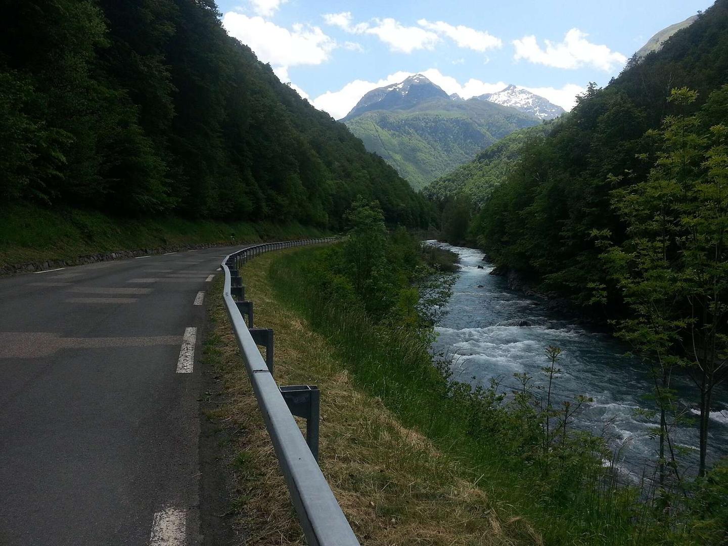
A mountainous 19 km road cycling route from Luz-Saint-Sauveur through Saint-Sauveur, Sia and Gèdre, with 684 m of climbing over the Luz-Saint-Sauveur climb and the Sia climb.
At a glance
- Best for
- Short, climbing-heavy rides
- Distance
- 18.6 km
- Elevation gain
- 684 m
- Riding time
- 1 h 20 min
- Difficulty
- Moderate
- Bike
- Road bike
- Surface
- Paved
- Best months
- May to Oct
- Navigation
- GPX download
- Start → finish
- Luz-Saint-Sauveur
Map and elevation profile
Elevation profile
- 684 m
- 19 km
Route description
- Luz-Saint-Sauveur
- Luz-Saint-Sauveur climb
- Saint-Sauveur
- Sia climb
- Sia
- Pragnères
- Gèdre
- Saussa-Debat
The ride starts in Luz-Saint-Sauveur passing through Esquièze-Sère, Esterre and Saint-Sauveur within the first 1.2 km. From km 0.5, a 3.6 km climb gains 142 m at an average of 4%, with a maximum gradient of 7.3%, reaching 834 m elevation. After a brief descent or level sections, a longer 14 km climb from 4.4 km to the finish gains 540 m at 3.9% average with max gradients of 10.2%, finishing at 1375 m elevation near Gèdre.
The route is mostly on paved surfaces (97%) with 3% gravel or unpaved. It is 88% on main roads, specifically 16.4 km on the D 921, all without cycle lanes, and 9% on quiet streets. The profile consists mainly of climbing (85%), with 5.6 km over 5% gradient and short steep sections above 10% over 0.3 km. There is a 4 km stretch from 6.9 to 10.9 km with no café, shop or water available, so planning supplies early is advised.
Along the way, water supplies can be found close to the route near km 0, 5.1 and 11, and toilet facilities at km 1.9 and 11. Shops and eateries are available at the start and finish locations, with a bakery and supermarkets at Luz-Saint-Sauveur and cafés and convenience stores near Gèdre. The ride includes short stretches of quiet street at the start and the rest mainly on main roads with no cycle lanes.
Why ride this route?
- Climbs the Luz-Saint-Sauveur climb (3.6 km at 4 %) and the Sia climb (14 km at 3.9 %).
- Tops out at 1,375 m, 18.5 km in.
Highlights
- Climb to 1375 m elevation
- D 921 road for 16.4 km
- Four places in first 1.2 km
- 4 km stretch without café or water after 6.9 km
Along the route
Places passed
On the road
Climbs
| Climb | Starts at | On this ride | Full ascent | Top on this ride |
|---|---|---|---|---|
| Luz-Saint-Sauveur climb | 0.5 km | 3.6 km · 142 m · 4 % · max 7.3 % | 3.6 km · 142 m · 4 % | 834 m |
| Sia climb | 4.4 km | 14 km · 540 m · 3.9 % · max 10.2 % | 14 km · 540 m · 3.9 % | 1375 m |
Luz-Saint-Sauveur climb · full ascent, starts at 0.5 km
< 4%4 – 7%7 – 10%> 10%
Sia climb · full ascent, starts at 4.4 km
Know before you go
- 16.4 km on main roads without cycle lane
- 4 km without café or shop or water from 6.9 km
- Maximum gradient up to 10.2% for 0.6 km
- 3% of route is gravel or unpaved