
Pic de Nore from Mazamet
A mountainous 18 km road cycling route from Mazamet through Hautpoul, Moulin de l'Oule and Castaunouze, with 947 m of climbing over Pic de Nore.
At a glance
- Best for
- Short, climbing-heavy rides
- Distance
- 17.7 km
- Elevation gain
- 947 m
- Riding time
- 1 h 16 min
- Difficulty
- Moderate
- Bike
- Road bike
- Surface
- Paved
- Best months
- Jun to Oct
- Navigation
- GPX download
- Start → finish
- Mazamet
Map and elevation profile
Elevation profile
- 947 m
- 18 km
Route description
- Mazamet
- Pic de Nore
- Hautpoul
- Moulin de l'Oule
- Castaunouze
- Les Yès
Starting from Mazamet at 257 m, this route climbs 17.5 km to Pic de Nore at 1205 m, gaining 946 m at an average gradient of 5.4% and maximum 10.5%. The climb starts gently but includes sections up to 18.9% in the first 500 m. The route ascends almost continuously with 99% climbing, and over 9.4 km exceed 5% gradient, including 2.8 km over 8% and 0.5 km over 10%.
The ride is mostly on paved surfaces (98%), predominantly minor roads (69%) and some main roads (27%) without cycle lanes. Notable named roads include Route du Triby (7 km), D 54 (4.2 km) and Route du Portail de Nore (3.6 km). From km 2.6 to 17.7, there is a long stretch of 15.1 km without cafes, shops, or water. The start in Mazamet offers multiple cafés, bakeries, restaurants, a market, and a supermarket. A bailout point is available at Mazamet.
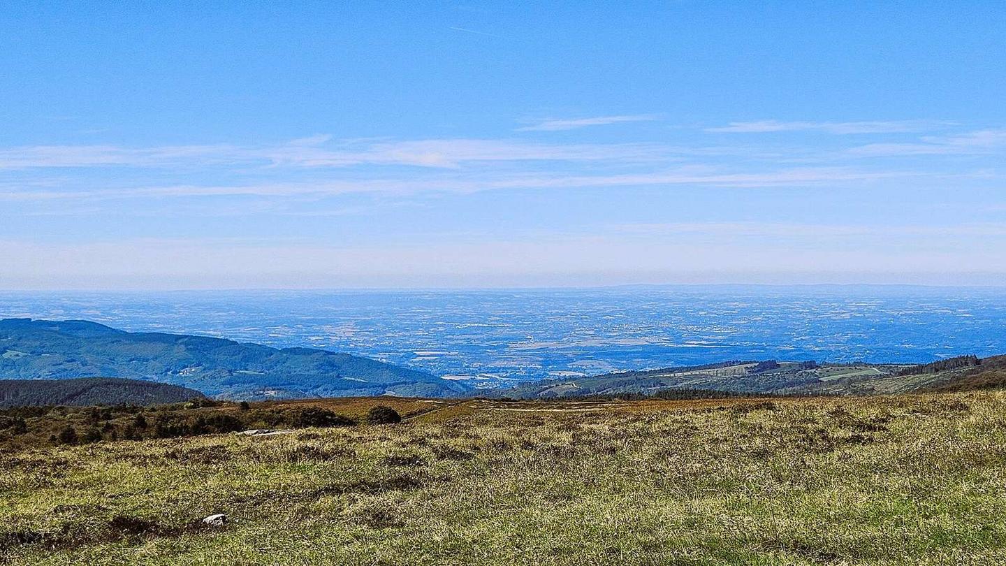
The ride culminates at Pic de Nore. There is a viewpoint called Passerelle de Mazamet 2.6 km from the start, slightly off-route. Toilets and drinking water are only available near the start.
Why ride this route?
- Climbs Pic de Nore (17.5 km at 5.4 %).
- Tops out at 1,205 m, 17.7 km in.
Highlights
- Summit at Pic de Nore, 1205 m
- 17.5 km steady climb from Mazamet
- Steepest 500 m at 18.9% near the start
- Passerelle de Mazamet viewpoint at 2.6 km
Along the route
Places passed
On the road
Climbs
| Climb | Starts at | On this ride | Full ascent | Top on this ride |
|---|---|---|---|---|
| Pic de Nore | 0.2 km | 17.5 km · 946 m · 5.4 % · max 10.5 % | 17.5 km · 946 m · 5.4 % | 1205 m |
Pic de Nore · full ascent, starts at 0.2 km
Know before you go
- 15.1 km without café, shop or water from km 2.6
- 4.8 km on main roads without cycle lanes
- Steep sections up to 18.9% gradient near start